
System and method for determining relative differential positioning system measurement solutions

a technology of relative differential positioning and measurement solution, which is applied in the field of positioning system, can solve the problems of affecting the accuracy of the measurement of signal travel time, the inability to accurately measure the signal travel time, and the complex process of controlling the movement of trains in a modern environment both in the train yard and on the main train lin

Active Publication Date: 2006-03-16
SIEMENS MOBILITY INC
View PDF2 Cites 57 Cited by
  • Summary
  • Abstract
  • Description
  • Claims
  • Application Information

AI Technical Summary

Benefits of technology

[0020] If the comparison indicates that the first and second vectors are close, the vehicle is on the alternate path corresponding to the second vector. If the difference between the vectors is significantly large, then second vector

Problems solved by technology

Controlling the movement of trains in a modern environment both in a train yard and on main train lines is a complex process.
Any errors in this process can lead to disastrous consequences.
Errors in either the satellites' clocks or the receiver's clock alter this determination.
Lack of stability or synchronicity among the clocks will result in an inaccurate measurement of signal travel time.
When this is multiplied by the speed of electromagnetic radiation (i.e., the emitted L-band signal), an error in the apparent distance, will result.
Because the ground stations are stationary, any change in their determined position must be due to GPS error, either natural or military.
Because the mobile GPS receiver is not at exactly the same coordinates as the ground station and the true programmed position of the ground station may not be perfect, however, the correction achieved by DGPS-type techniques is consequently not perfect as well.
In addition, the DGPS receivers are more complex, and therefore more expensive, than ordinary GPS receivers.
If the switch is set at an incorrect position and the train has taken the wrong track, a collision may result.
However, human beings are imperfect and prone to mistakes.
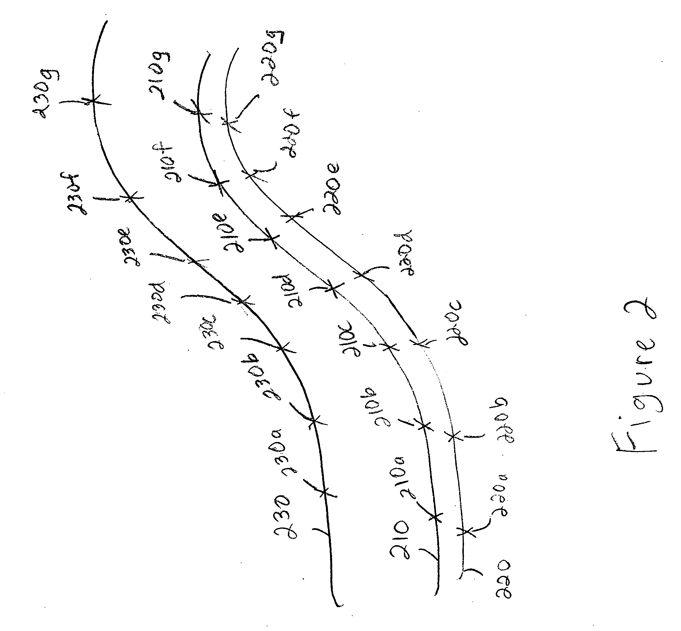
However, in many situations, alternate paths are often separated by a distance less than the accuracy of a GPS system receiver and are therefore not spaced far enough apart to permit an unambiguous determination as to which of two or more alternate paths have been taken by a vehicle.

Method used


Image

  • System and method for determining relative differential positioning system measurement solutions
  • System and method for determining relative differential positioning system measurement solutions
  • System and method for determining relative differential positioning system measurement solutions

Examples


Embodiment Construction

[0029] The present invention will be discussed with reference to preferred embodiments of vehicle control systems. Specific details, such as accuracies of GPS receivers, are set forth in order to provide a thorough understanding of the present invention. The preferred embodiments discussed herein should not be understood to limit the invention. Furthermore, for ease of understanding, certain method steps are delineated as separate steps; however, these steps should not be construed as necessarily distinct nor order dependent in their performance.

[0030] The present invention provides a system and method for determining relative differential global positioning (“RDGPS”) system measurement solutions. The invention is particularly useful in determining which path from among a plurality of available paths a vehicle has taken. The invention has particular application in the transportation field. More specifically, train control system (e.g., CTC systems, ATC systems and the like) may emp...


PUM


Abstract

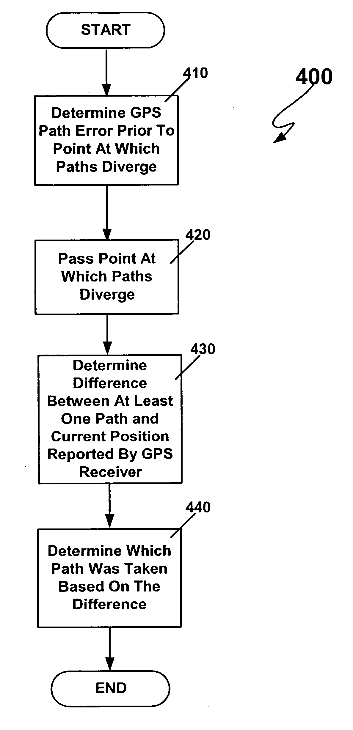
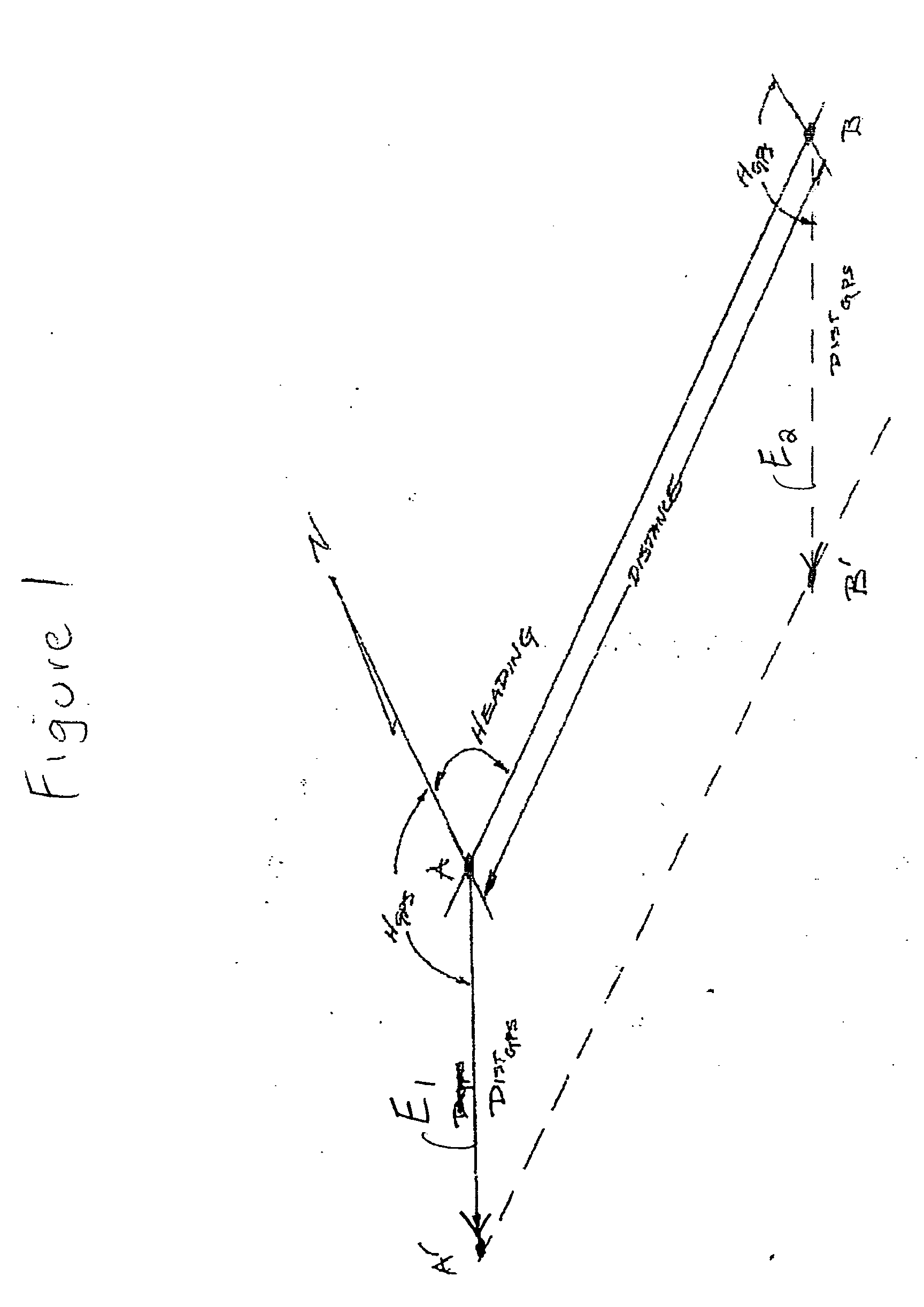
A method and system in which a vehicle carries an on-board positioning system and has access to a database of information pertaining to a plurality of fixed paths. A vector between the position of the fixed path and a position of the vehicle as reported by the positioning system is calculated prior to arriving at a point of divergence (i.e., a point at which a path branches, such as a switch on a railroad track). After passing the path divergence, a second vector is calculated between the position of the vehicle as reported by the positioning system and at least one of the alternate paths, preferably the correct alternate path. The first vector is compared to the second vector, and a determination as to which path the vehicle is on is made based on the comparison.

Description

BACKGROUND OF THE INVENTION [0001] 1. Field of the Invention [0002] The present invention relates generally to positioning systems, and more particularly to methods for using such systems to determine relative differential positioning for transportation applications. [0003] 2. Related Art [0004] As is well known in the relevant art(s), the Department of Defense's Global Positioning Satellite (GPS) constellation operationally consists of twenty-four satellites that provide global coverage for determining the geographic position of a user equipped with any of a variety of commercially-available receivers. GPS receivers are capable of receiving the L-band radio signals emitted from the satellites in the constellation whose orbits have an altitude of approximately 12,660 miles above the Earth. For any given signal reading, at least four satellites are required to compute the three dimensions of position (X, Y, and Z or latitude, longitude and altitude, respectively) and time. [0005] Mor...

Claims


Application Information

Patent Timeline
IPC IPC(8): G01C21/30
CPCB61L25/025G01C21/20B61L2205/04B61L25/026
Inventor HICKENLOOPER, HARRISON THOMASKANE, MARK EDWARD
Owner SIEMENS MOBILITY INC
Learn More