Enhancing the quality and resolution of an image generated from single or multiple sources
- Summary
- Abstract
- Description
- Claims
- Application Information
AI Technical Summary
Benefits of technology
Problems solved by technology
Method used
Image
Examples
Embodiment Construction
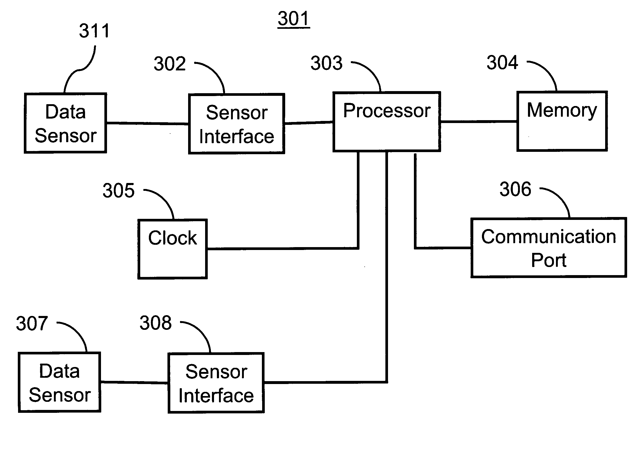
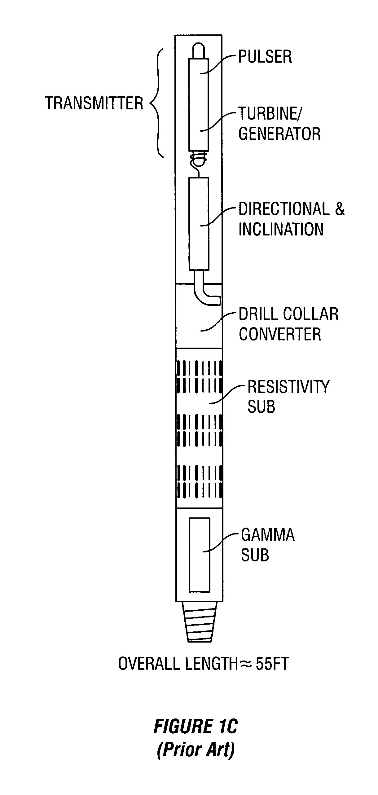
[0062] Wireline logging tools have been used successfully to produce subsurface images. Due to data bandwidth limitations related to conventional telemetry, for MWD or LWD applications, density tool measurements and other measurements have been stored in the MWD tool's memory. Therefore subsurface images and parameter determinations haven't been generally available for real time applications such as geosteering.
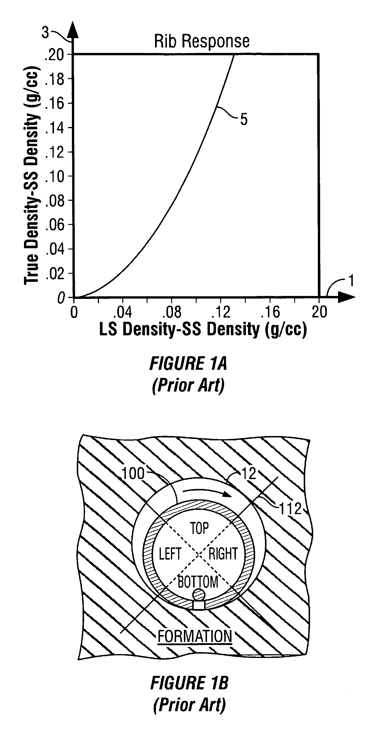
[0063] An LWD measurement data set can be used to create an image if the sensors are rotated during data acquisition, and the response (data) plotted versus well depth and azimuthal position around the bore. The result will be an image representation of the formation parameters particular to the sensors used.
[0064] Processing techniques are applied to individual sensor responses, or the combined response function of a sensor array. These processing techniques when applied to the image improve the accuracy, enhance features, and remove false structure. Some examples of image...
PUM
 Abstract
Description
Claims
Application Information
 - R&D
- Intellectual Property
- Life Sciences
- Materials
- Tech Scout
- Unparalleled Data Quality
- Higher Quality Content
- 60% Fewer Hallucinations
Browse by: Latest US Patents, China's latest patents, Technical Efficacy Thesaurus, Application Domain, Technology Topic, Popular Technical Reports.
© 2025 PatSnap. All rights reserved.Legal|Privacy policy|Modern Slavery Act Transparency Statement|Sitemap|About US| Contact US: help@patsnap.com


