Method and Apparatus for Displaying Three-Dimensional Terrain and Route Guidance

a three-dimensional terrain and route guidance technology, applied in the field of methods, can solve the problems of high level of difficulty in displaying road and polygon information over three-dimensional terrain, visual discomfort for users, and difficulty in displaying road and polygon information

Active Publication Date: 2011-03-03
ALPINE ELECTRONICS INC
View PDF15 Cites 29 Cited by
  • Summary
  • Abstract
  • Description
  • Claims
  • Application Information

AI Technical Summary

Benefits of technology

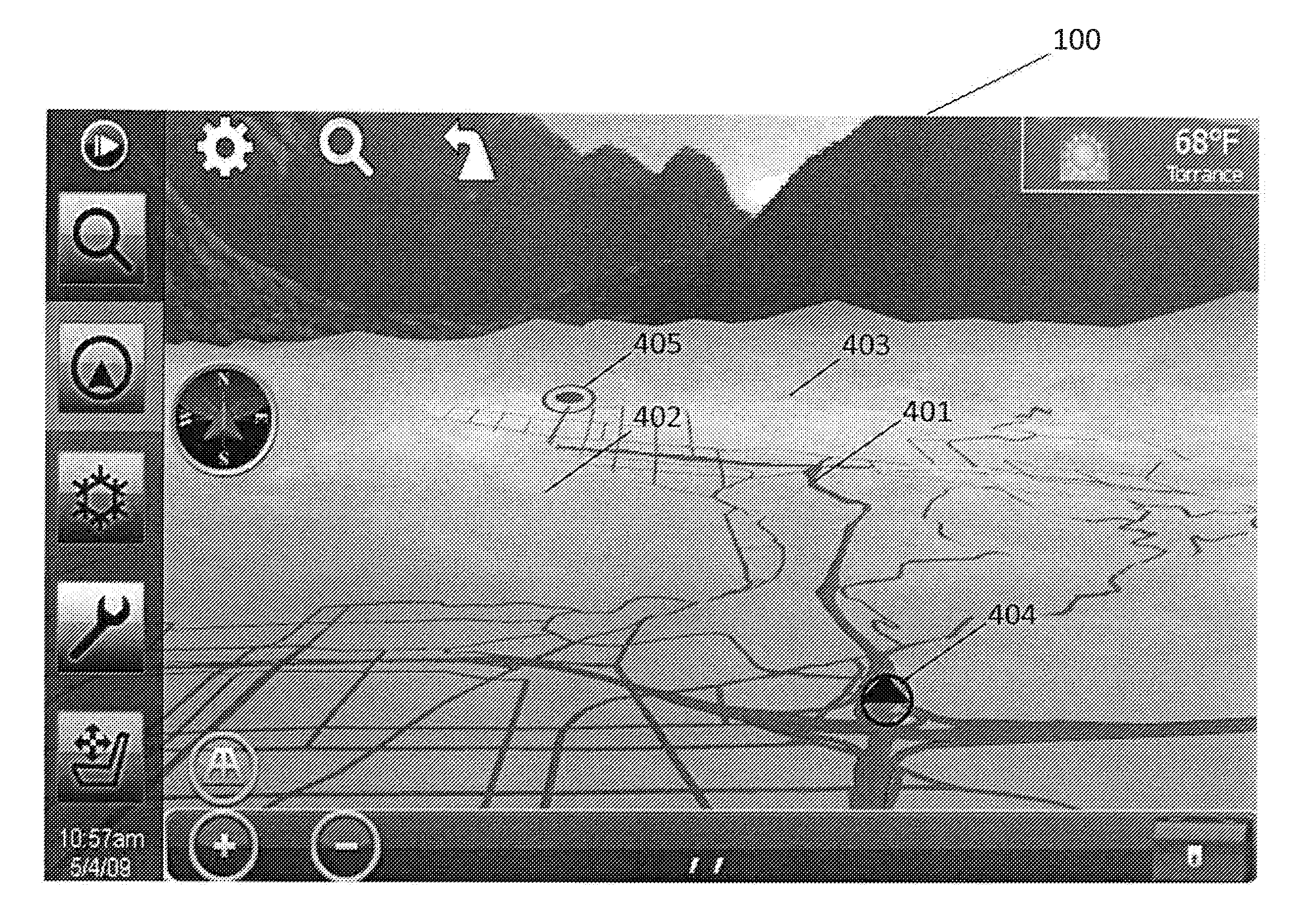
[0008]It is an object of the present invention to draw a high detail road and polygon data over three-dimensional (3D) terrain, without the need for very large and detailed vertices which consume large amounts of memory and processing capability.
[0009]It is another object of the present invention to provide a more realistic guidance environment coupled with a high performance three-dimensional map rendering, which increases visibility and understanding of complex guidance maneuvers.
[0011]It is still another object of the present invention to increase user visibility when viewing close to the ground and parallel to the ground surface.
[0012]It is a further object of the present invention to enable the production of quality three-dimensional rendering while maintaining a high speed map engine (about 30 frames per second).
[0013]According to one aspect of the present invention, a terrain and route display device includes at least one database to store and provide geographic information including maps, geographical features and road network; a display control unit in communication with the database to obtain and dynamically manage the geographic information; and a user interface communicatively coupled with the display control unit to display said managed geographic information, wherein the display control unit is configured to generate a route conforming to a three-dimensional terrain with dynamic control over different levels-of-detail (LODs). In one embodiment, the display control unit may include a terrain scaling unit which is configured to dynamically increase or decrease the height or “3D-ness” of the terrain based on the angle and height of the viewing, providing proper road rendering at all height and angle combinations.

Problems solved by technology

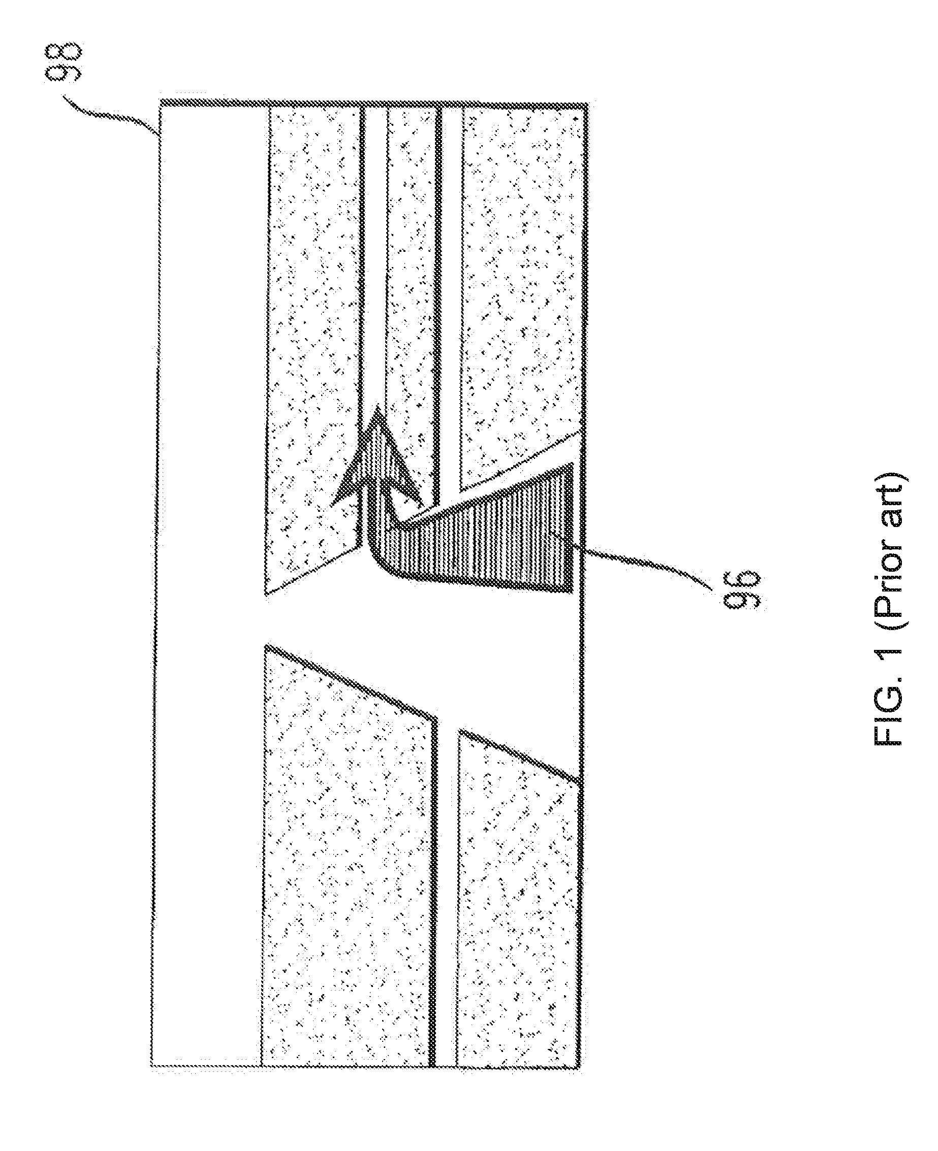
This may cause confusion in routing situations where turns are closely spaced together with roads which are not part of the guidance route.
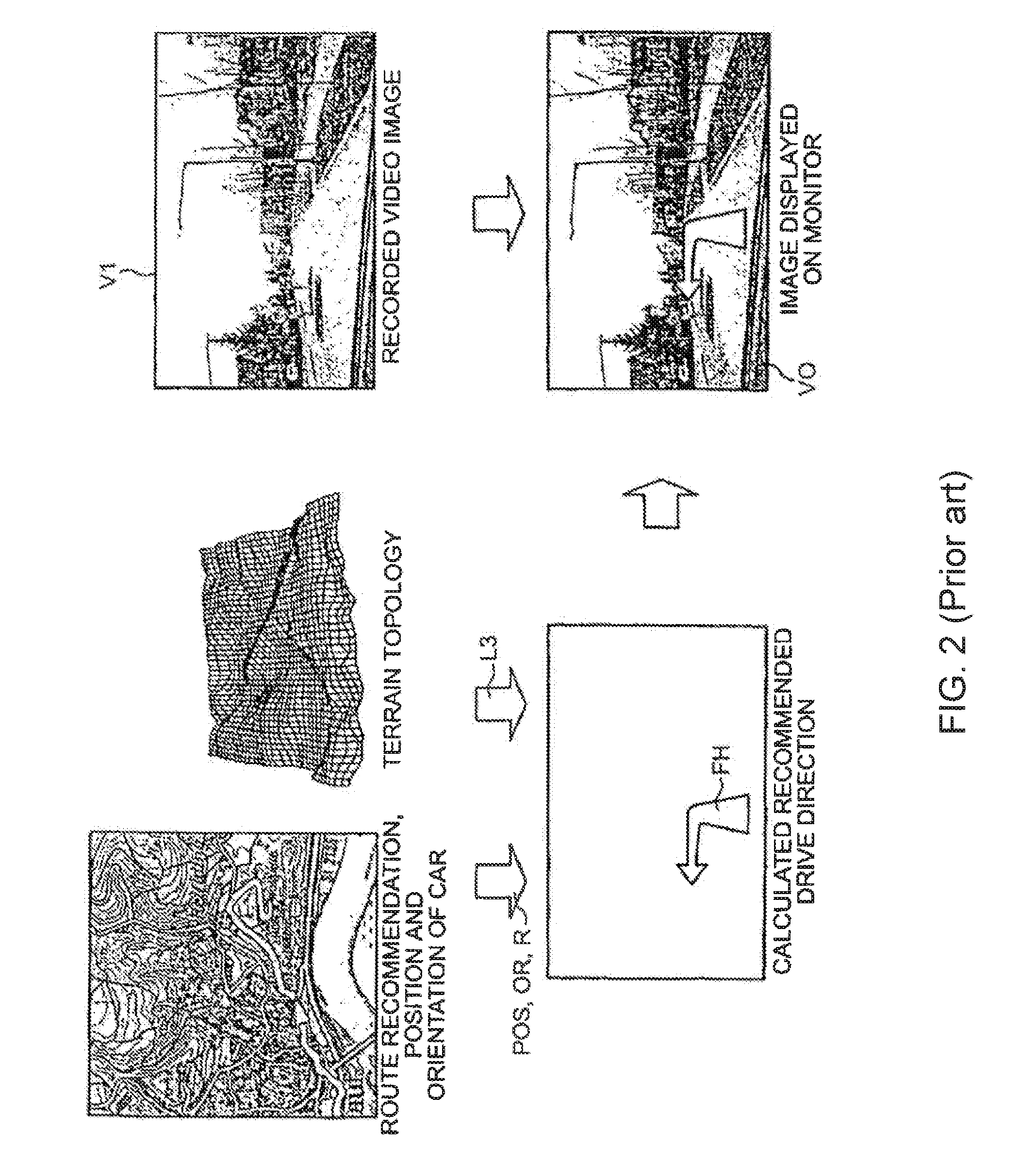
Conventionally, displaying road and polygon information over three-dimensional terrain poses difficult challenges.
The road may be under or over the terrain surface, which may cause visual discomfort for the user.
However, showing high level-of-detail terrain and roads requires large amounts of memory and processing capability.

Method used


Image

  • Method and Apparatus for Displaying Three-Dimensional Terrain and Route Guidance
  • Method and Apparatus for Displaying Three-Dimensional Terrain and Route Guidance
  • Method and Apparatus for Displaying Three-Dimensional Terrain and Route Guidance

Examples


Embodiment Construction

[0031]The detailed description set forth below is intended as a description of the presently exemplary device provided in accordance with aspects of the present invention and is not intended to represent the only forms in which the present invention may be prepared or utilized. It is to be understood, rather, that the same or equivalent functions and components may be accomplished by different embodiments that are also intended to be encompassed within the spirit and scope of the invention.

[0032]Unless defined otherwise, all technical and scientific terms used herein have the same meaning as commonly understood to one of ordinary skill in the art to which this invention belongs. Although any methods, devices and materials similar or equivalent to those described can be used in the practice or testing of the invention, the exemplary methods, devices and materials are now described.

[0033]All publications mentioned are incorporated by reference for the purpose of describing and disclos...


PUM


Abstract

According to one aspect of the present invention, an information display device for displaying three-dimensional route and terrain includes a plurality of databases for storing information; a display control unit to dynamically manage said information with different levels-of-detail (LODs); and a user interface communicatively coupled with the control unit to display said managed information with different levels of detail. In one embodiment, the control unit may include a terrain scaling unit which is configured to dynamically increase or decrease the height or “3D-ness” of the terrain based on the angle and height of the viewing. The control unit may also include an LOD control unit and a scene stitching unit. In addition, the information display device provides a three-dimensional real-time rendering environment including three-dimensional guidance information which allows the user to understand complex maneuvers without using two-dimensional overlays.

Description

CROSS-REFERENCE TO RELATED APPLICATIONS[0001]This application claims priority under 35 USC §119 (e) to U.S. Provisional Patent Application Ser. No. 61 / 239,400, filed on Sep. 2, 2009, the entire contents of which are hereby incorporated by reference.FIELD OF THE INVENTION[0002]This invention relates to a display method and apparatus. More particularly, this invention relates to a method and apparatus for displaying three-dimensional route guidance and terrain with dynamic control of different levels-of-detail (LODs).BACKGROUND OF THE INVENTION[0003]With remarkable advances in computer and semiconductor technologies, electronic devices, such as media players, gaming devices, cellular phones, navigational devices, etc., have become more popular and affordable for most users. In the mean time, there is a prevailing trend for three-dimensional (3D) display in any of those electronic devices to provide the user a better visual enjoyment than traditional two-dimensional (2D) display.[0004]...

Claims


Application Information

Patent Timeline
Patent Type & Authority Applications(United States)
IPC IPC(8): G01C21/36
CPCG01C21/3635
Inventor POIESZ, BENJAMINHAN, MAUNG
Owner ALPINE ELECTRONICS INC
Why Eureka
Try Eureka