
Method and Apparatus for Processing Aerial Imagery with Camera Location and Orientation for Simulating Smooth Video Flyby

Inactive Publication Date: 2013-01-31
MEADOW WILLIAM D
View PDF4 Cites 36 Cited by
  • Summary
  • Abstract
  • Description
  • Claims
  • Application Information

AI Technical Summary

Benefits of technology

The patent text describes a method for simulating different frames of images to create a smooth transition between them. This can reduce the number of frames needed and save memory space, as well as allowing for faster processing. Additionally, the resolution of the images can vary depending on factors like the speed of movement, but it is desirable to maintain a consistent resolution during the simulation to provide a high-definition experience. The method can also produce intermediate images that can be used to generate maps or models of the environment.

Problems solved by technology

Although functional for some applications, satellite images are generally limited to the direct overhead or orthogonal views of a parcel of land or landmark and do not provide different angular overhead, perspective, or oblique views in a consistent and orderly formats that can allow visualizations of imagery to simulate movement.
Obtaining precise orientation of cameras mounted on the aircraft is currently a challenge due to aircrafts being subject to turbulence.
Although useful for some applications, all of these known techniques provide for methods and apparatus that can be impractical, high costs, and more importantly, do not support a plurality of cameras positioned in oblique or angular overhead views from an aerial platform.

Method used


Image

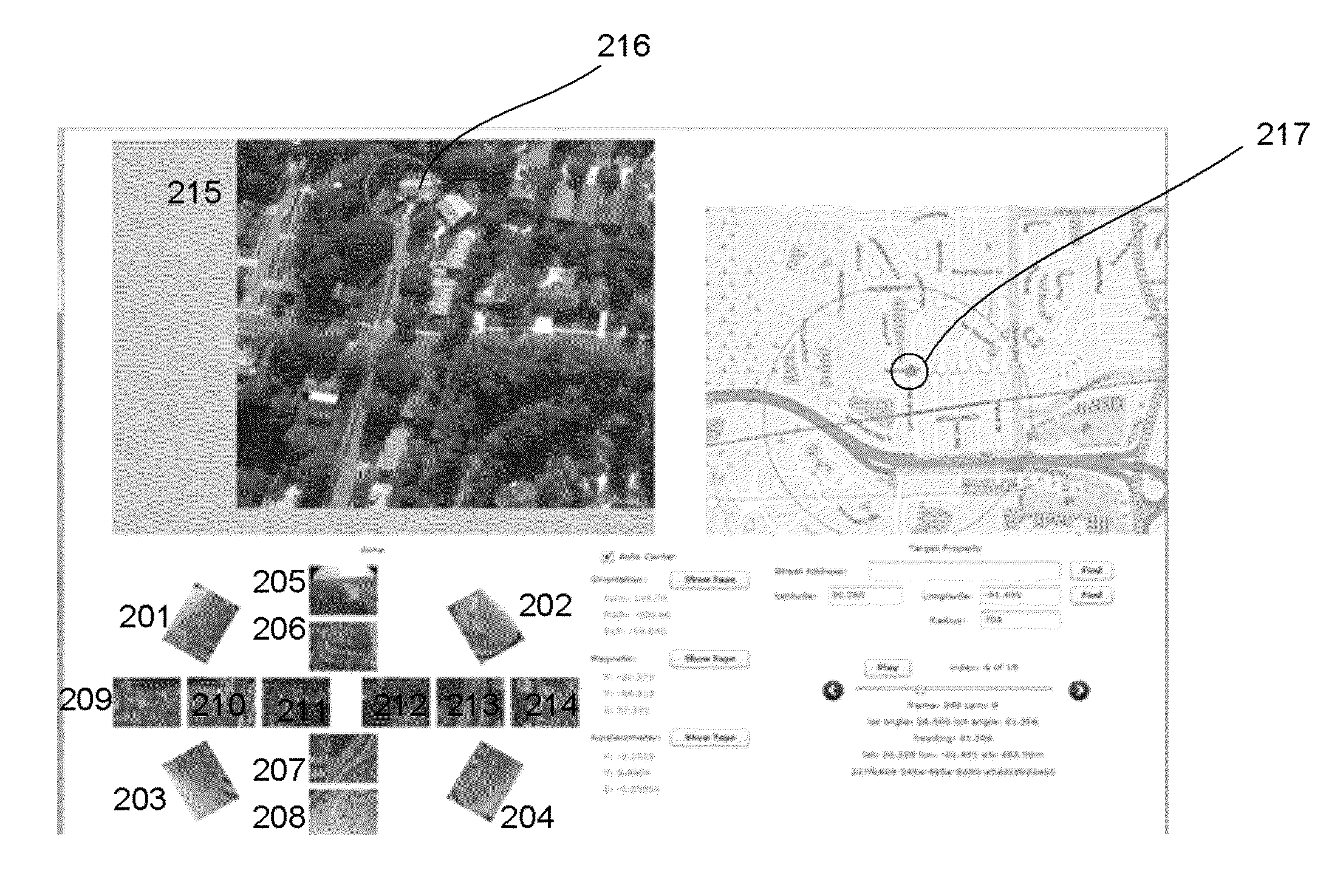
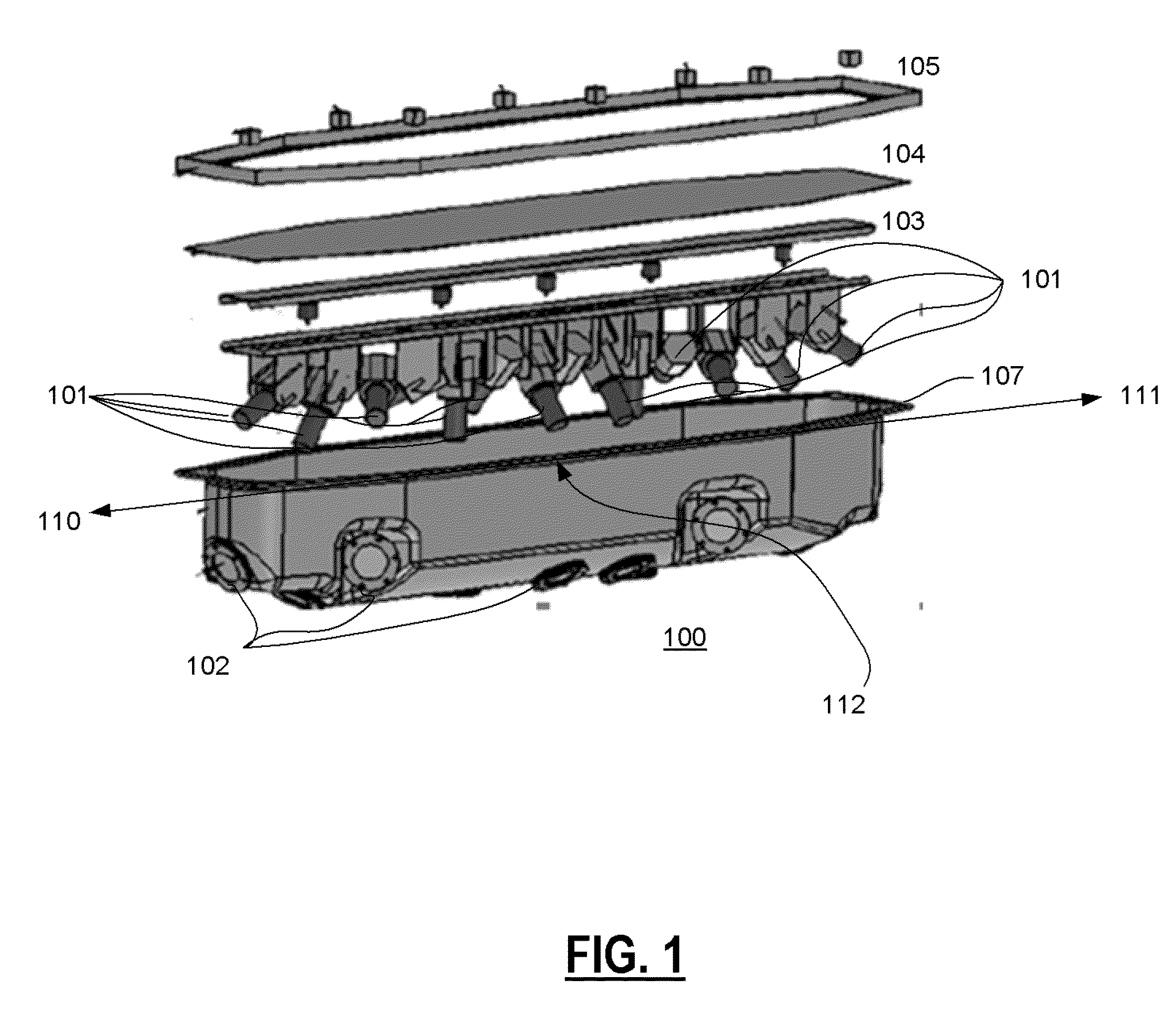
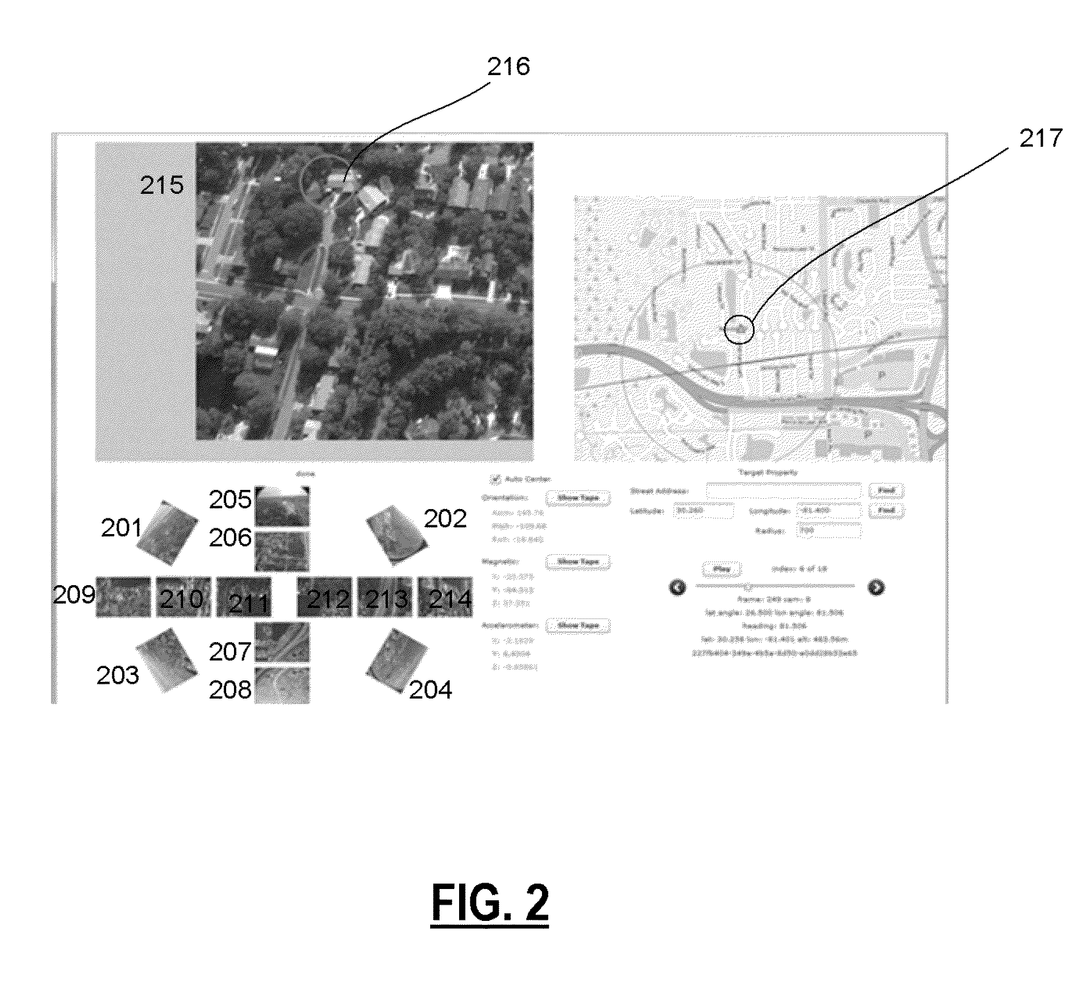
  • Method and Apparatus for Processing Aerial Imagery with Camera Location and Orientation for Simulating Smooth Video Flyby
  • Method and Apparatus for Processing Aerial Imagery with Camera Location and Orientation for Simulating Smooth Video Flyby
  • Method and Apparatus for Processing Aerial Imagery with Camera Location and Orientation for Simulating Smooth Video Flyby

Examples


Embodiment Construction

[0030]The present invention provides for the use of two or more Aerial images for the processing of image data generate visualizations of aerial imagery capable of simulating movement. More specifically, the visualizations of the aerial imagery which can include oblique and / or orthogonal approaching and departing view perspectives for a variety of commercial, consumer and government applications.

[0031]In the following sections, detailed descriptions of embodiments and methods of the invention will be given. The description of both preferred and alternative embodiments though through are exemplary only, and it is understood that to those skilled in the art that variations, modifications and alterations may be apparent. It is therefore to be understood that the exemplary embodiments do not limit the broadness of the aspects of the underlying invention as defined by the claims.

GLOSSARY

[0032]“Aerial Images with Location Data” as used herein refers to data delineated or systematically ar...


PUM


Abstract

The present invention relates to methods and apparatus to generate visualizations of aerial imagery capable of simulating movement as if the image capturing device had captured image frames at a much higher rate than the rate captured. More specifically, the visualizations of the aerial imagery which can include orthogonal approaching and departing view perspectives to generate simulated smooth flyby videos.

Description

CROSS REFERENCE TO RELATED APPLICATIONS[0001]The present application claims priority to United States Pending Patent Application SKY.0002PSP, application Ser. No. 61 / 513,654 filed Jul. 31, 2011 and entitled “Apparatus and Methods for Capture of Image Data from an Aircraft” and also SKY.0003PSP, application Ser. No. 61 / 513,660, filed Jul. 31, 2011 entitled, “Methods and Apparatus for Aerial Image Alignment”, and also CC.0004NP, application Ser. No. 13 / 467,974, filed May 9, 2012, and entitled “Method and Apparatus for Automated Camera Location and Orientation with Image Processing and Alignment to Ground Based Reference Point(s)”, the contents of which are relied upon and incorporated by reference.FIELD OF THE INVENTION[0002]The present invention relates to methods and apparatus for the processing of Aerial Imagery with precise location and orientation of one or more image capturing devices to enable viewing of a smooth Video Fly-by from a variety of viewing angles.BACKGROUND OF THE I...

Claims


Application Information

Patent Timeline
IPC IPC(8): H04N7/18
CPCG06T2207/10032G06T7/33G06T2207/30244G06T7/73
Inventor MEADOW, WILLIAM D.
Owner MEADOW WILLIAM D
Learn More