Method for detecting AIS messages
- Summary
- Abstract
- Description
- Claims
- Application Information
AI Technical Summary
Benefits of technology
Problems solved by technology
Method used
Image
Examples
Embodiment Construction
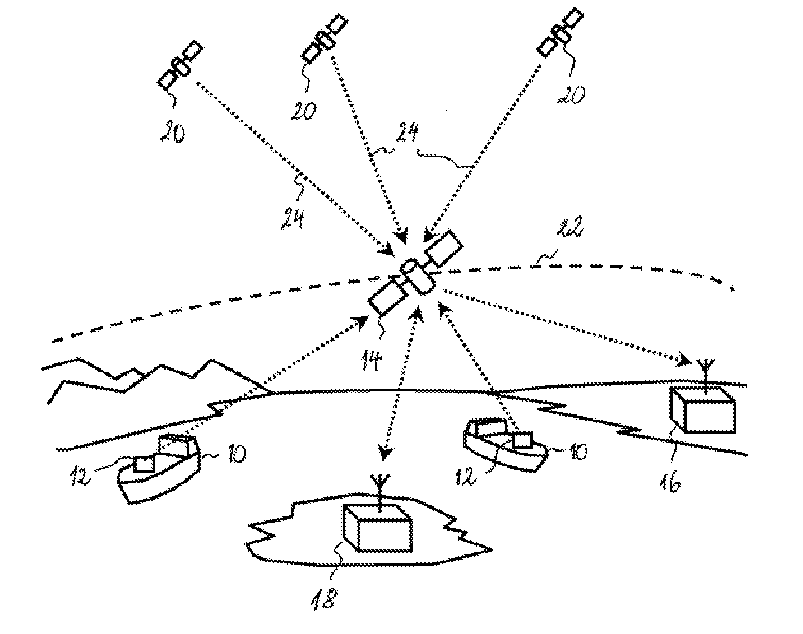
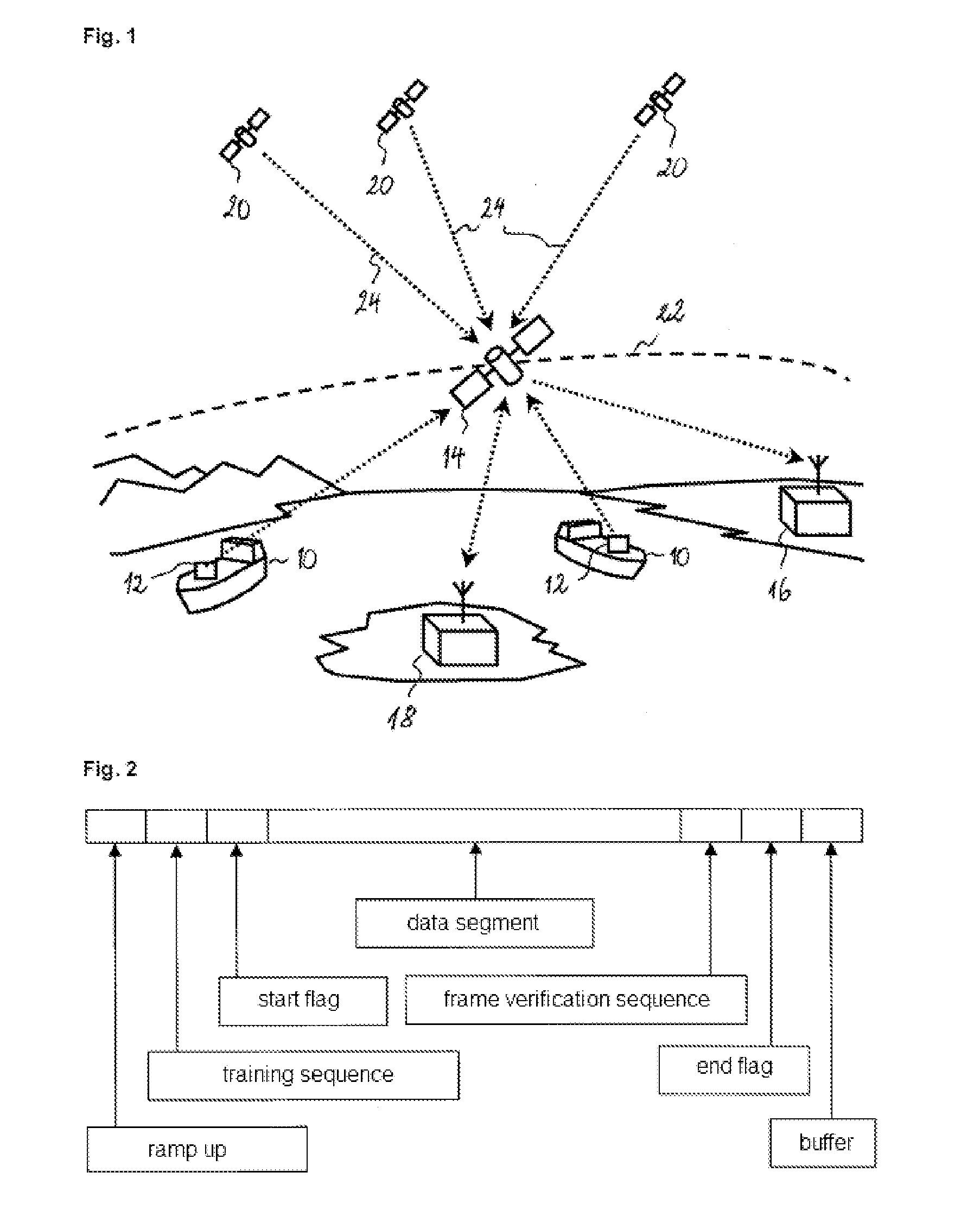
[0038]FIG. 1 shows the general outline of a satellite detection system for AIS messages; The ships 10, each equipped with an AIS transceiver 12, transmit AIS messages containing data such as the identification of the ship (MMSI number), the localisation in WGS 84 coordinates (world geodetic system, 1984 revision), the heading, the speed and other status information. The messages are received by the AIS receivers of the ships and the coastal stations in the vicinity. Each ship 10 can thus create a detailed map of the AIS transmitters in her local environment (within a radius of about 20 to 30 nautical miles), which complements the information supplied by radars and other navigational aids.
[0039]The AIS messages can also be received by the (LEO) satellites 14 in low earth orbit, i.e. which are found at an altitude between 160 and 2000 km. The footprint of an antenna of a low orbit satellite typically covers a geographic zone, whose dimensions greatly exceed those of the cells in which...
PUM
 Abstract
Description
Claims
Application Information
 - R&D
- Intellectual Property
- Life Sciences
- Materials
- Tech Scout
- Unparalleled Data Quality
- Higher Quality Content
- 60% Fewer Hallucinations
Browse by: Latest US Patents, China's latest patents, Technical Efficacy Thesaurus, Application Domain, Technology Topic, Popular Technical Reports.
© 2025 PatSnap. All rights reserved.Legal|Privacy policy|Modern Slavery Act Transparency Statement|Sitemap|About US| Contact US: help@patsnap.com


