
Land surveying using GNSS device

a technology of land surveying and gnss, applied in the field of land surveying using gnss devices, can solve problems such as generating incorrect boundaries for plots of land, problems such as problems, and achieve the effect of improving the accuracy of land surveying results

Active Publication Date: 2015-02-26
JAVAD GNSS
View PDF2 Cites 6 Cited by
  • Summary
  • Abstract
  • Description
  • Claims
  • Application Information

AI Technical Summary

Benefits of technology

The patent text describes a process for surveying a path using a global navigation satellite system (GNSS) device. The process involves receiving a request to add a point on the path, determining the location of the point, and adding the point to the set of points. The process can identify previously measured points based on their location and distance from the current point. The set of points can also include associated data for each point, such as its location, the object it represents, and its unique identifier. The process can also trigger a recording of a point if certain conditions are met, such as a minimum distance from the last point being recorded. The recorded points can be connected to form a computer generated representation of the path. The technical effect of this patent is to provide a more efficient and accurate method for surveying paths using GNSS devices.

Problems solved by technology

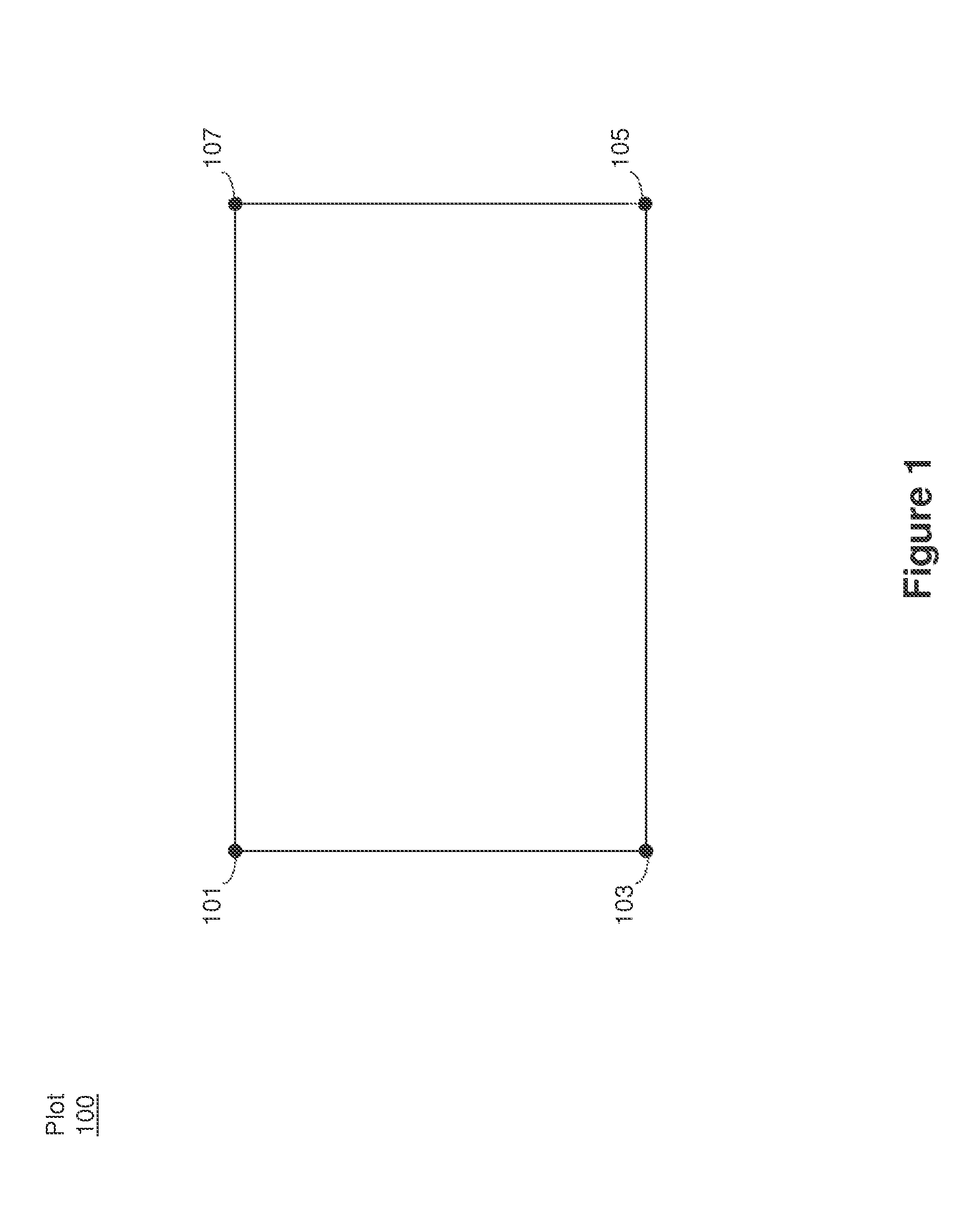
While this technique can be used to define any desired closed shape, problems may occur if the measured locations for junctions (e.g., points requiring multiple measurements), such as point 101, are not identical.
In particular, the processing software may incorrectly connect the measured points, thereby generating incorrect boundaries for the plot of land.
These measurement inconsistencies can be caused by the user positioning the GNSS device at slightly different positions for each junction measurement and / or measurement errors of the GNSS device.

Method used


Image

  • Land surveying using GNSS device
  • Land surveying using GNSS device
  • Land surveying using GNSS device

Examples


Embodiment Construction

[0038]The following description is presented to enable a person of ordinary skill in the art to make and use the various embodiments. Descriptions of specific devices, techniques, and applications are provided only as examples. Various modifications to the examples described herein will be readily apparent to those of ordinary skill in the art, and the general principles defined herein may be applied to other examples and applications without departing from the spirit and scope of the invention as claimed. Thus, the various embodiments are not intended to be limited to the examples described herein and shown, but are to be accorded the scope consistent with the claims.

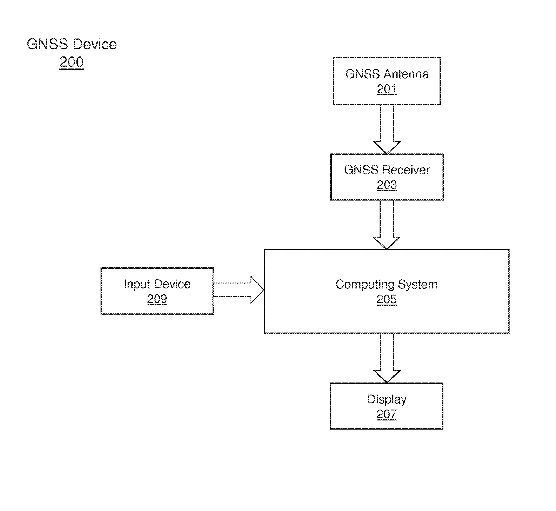
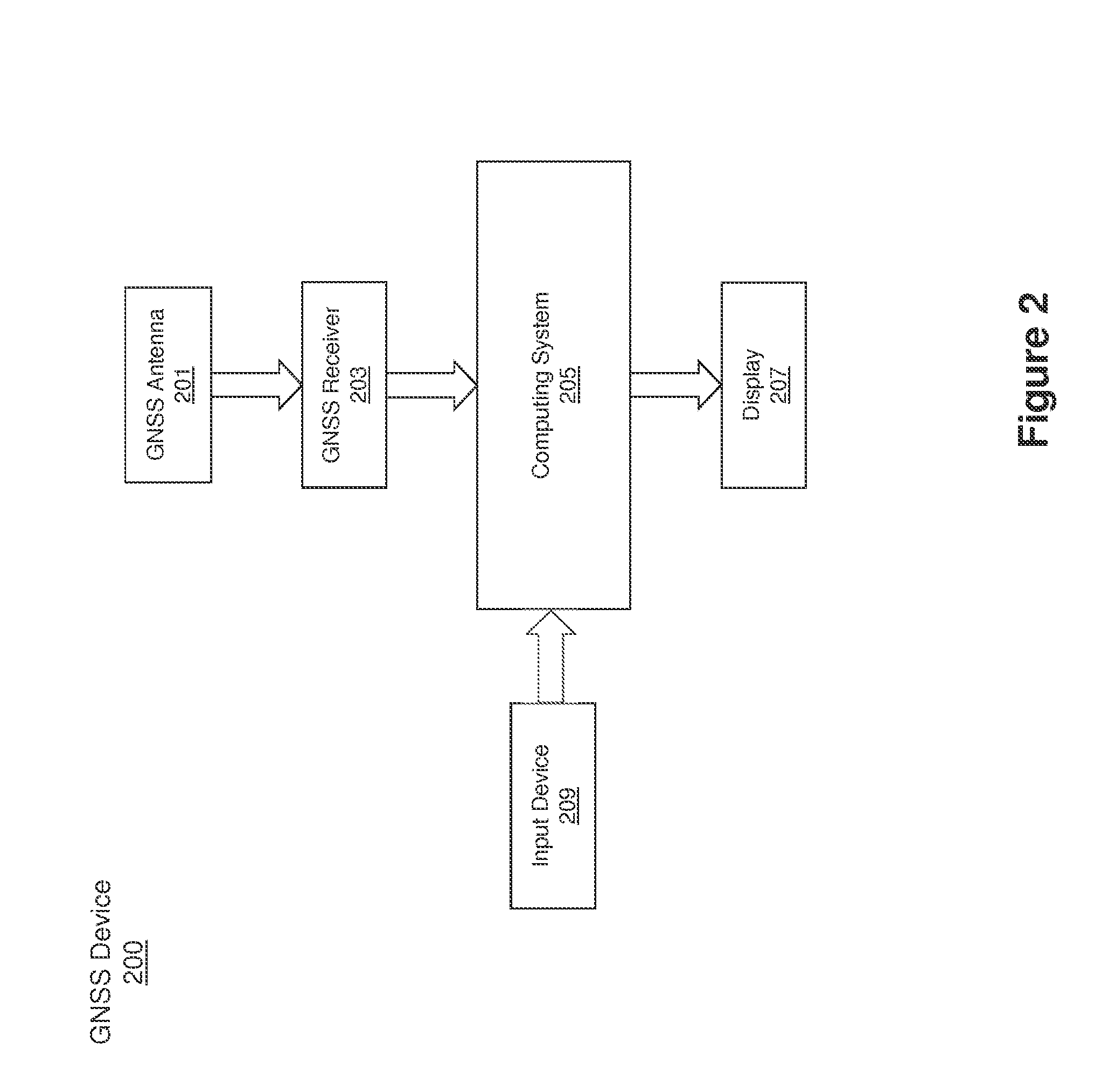
[0039]Systems and methods for surveying using a GNSS device are provided. In one example method, a GNSS device may be used to determine the location of points along a path and to add those points to a set of points representing the path. When adding each point, the device may determine if the point represents a new poi...


PUM


Abstract

Systems and methods for surveying using a GNSS device are provided. In one example method, a GNSS device may be used to determine the location of points along a path and to add those points to a set of points representing the path. When adding each point, the device may determine if the point represents a new point or a previously measured point. If the point is a new point, the device may add the point to the set of points. If the point is a previously measured point, the device may display one or more previously measured points to allow the user to select which previously measured point corresponds to the point currently being measured. The user may select a previously measured point and a point may be added to the set of points using the location of the selected previously measured point.

Description

BACKGROUND[0001]1. Field[0002]The present disclosure relates to Global Navigation Satellite System (GNSS) devices and, more specifically, to surveying using a GNSS device.[0003]2. Related Art[0004]Navigation receivers that use global navigation satellite systems, such as GPS or GLONASS (hereinafter collectively referred to as “GNSS”), enable a highly accurate determination of the position of the receiver. The satellite signals may comprise carrier signals that are modulated by pseudo-random binary codes and that, on the receiver side, may be used to measure the delay relative to a local reference clock. These delay measurements may be used to determine the pseudo-ranges between the receiver and the satellites. The pseudo-ranges are not true geometric ranges because the receiver's local clock may be different from the satellite onboard clocks. If the number of satellites in sight is greater than or equal to four, then the measured pseudo-ranges can be processed to determine the user'...

Claims


Application Information

Patent Timeline
IPC IPC(8): G01S19/14
CPCG01S19/14G01C7/02
Inventor ASHJAEE, JAVAD
Owner JAVAD GNSS
Learn More