Low speed heading measurement with buffer
a buffer and low speed technology, applied in the field of navigation for agricultural vehicles, can solve the problems of adding complexity and significant cost to the control system, and affecting the accuracy of heading measurements
- Summary
- Abstract
- Description
- Claims
- Application Information
AI Technical Summary
Benefits of technology
Problems solved by technology
Method used
Image
Examples
Embodiment Construction
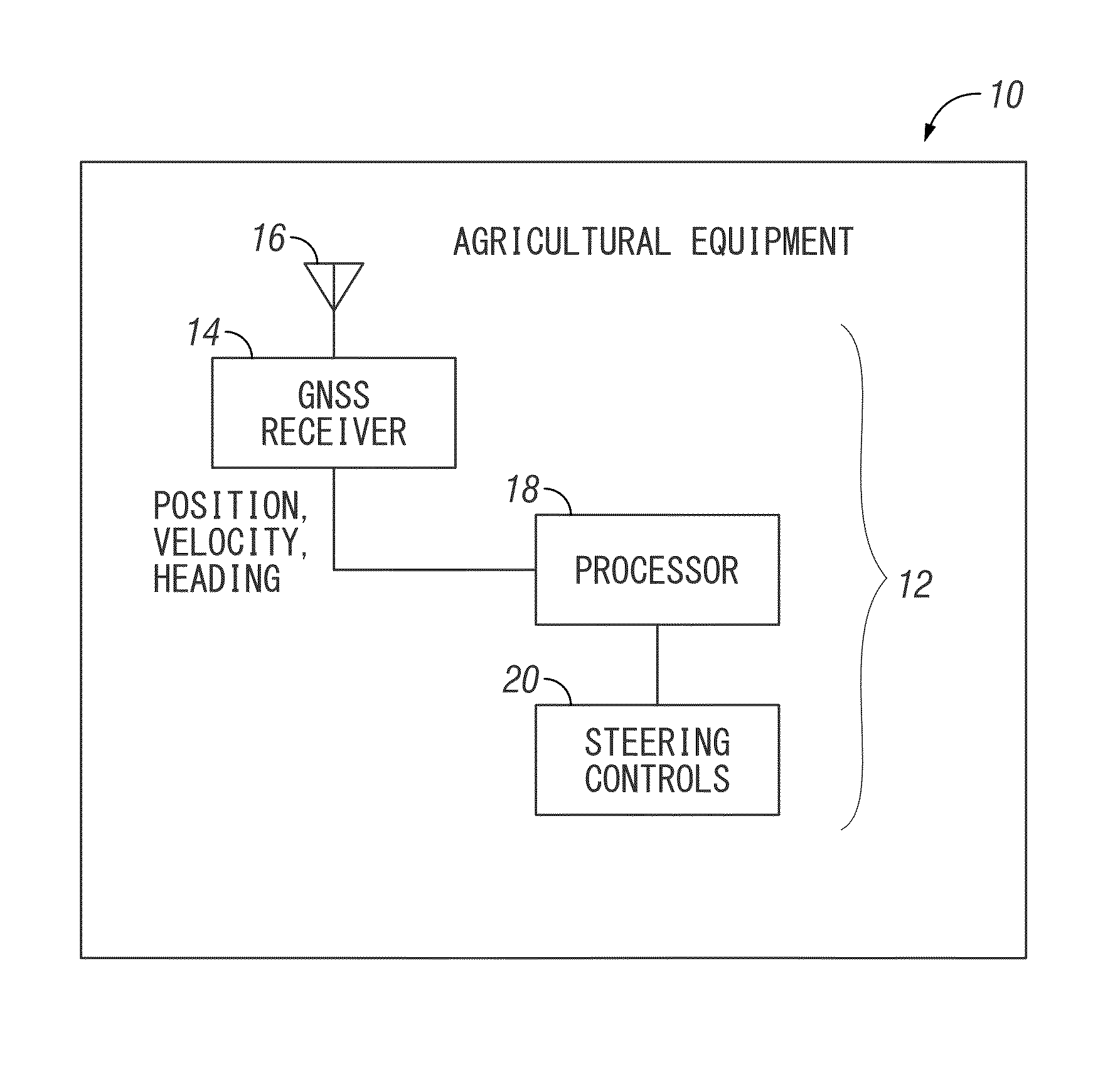
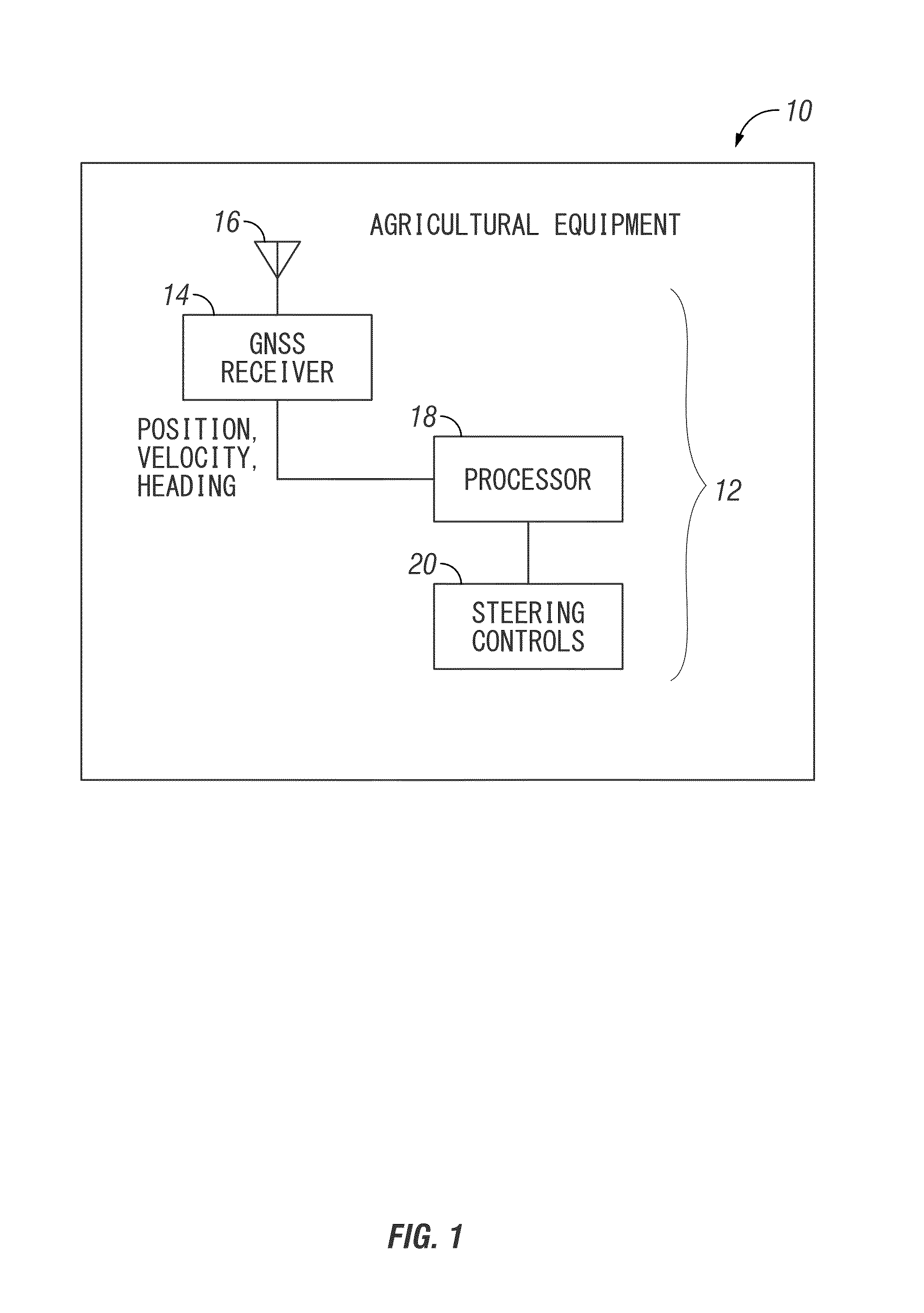
[0021]FIG. 1 illustrates one example of agricultural equipment 10 with a control system 12 which provides for navigation. The agricultural equipment 10 may be any number of types of agricultural machines including tractors, sprayers, or other types of machines which may be self-propelled, towed by an agricultural vehicle, or mounted to an agricultural vehicle. The system 12 includes a GNSS receiver 14 with a single antenna 16 associated therewith. The GNSS receiver 14 provides information such as position to a processor 18. The processor 18 may be operatively connected to steering controls 20.
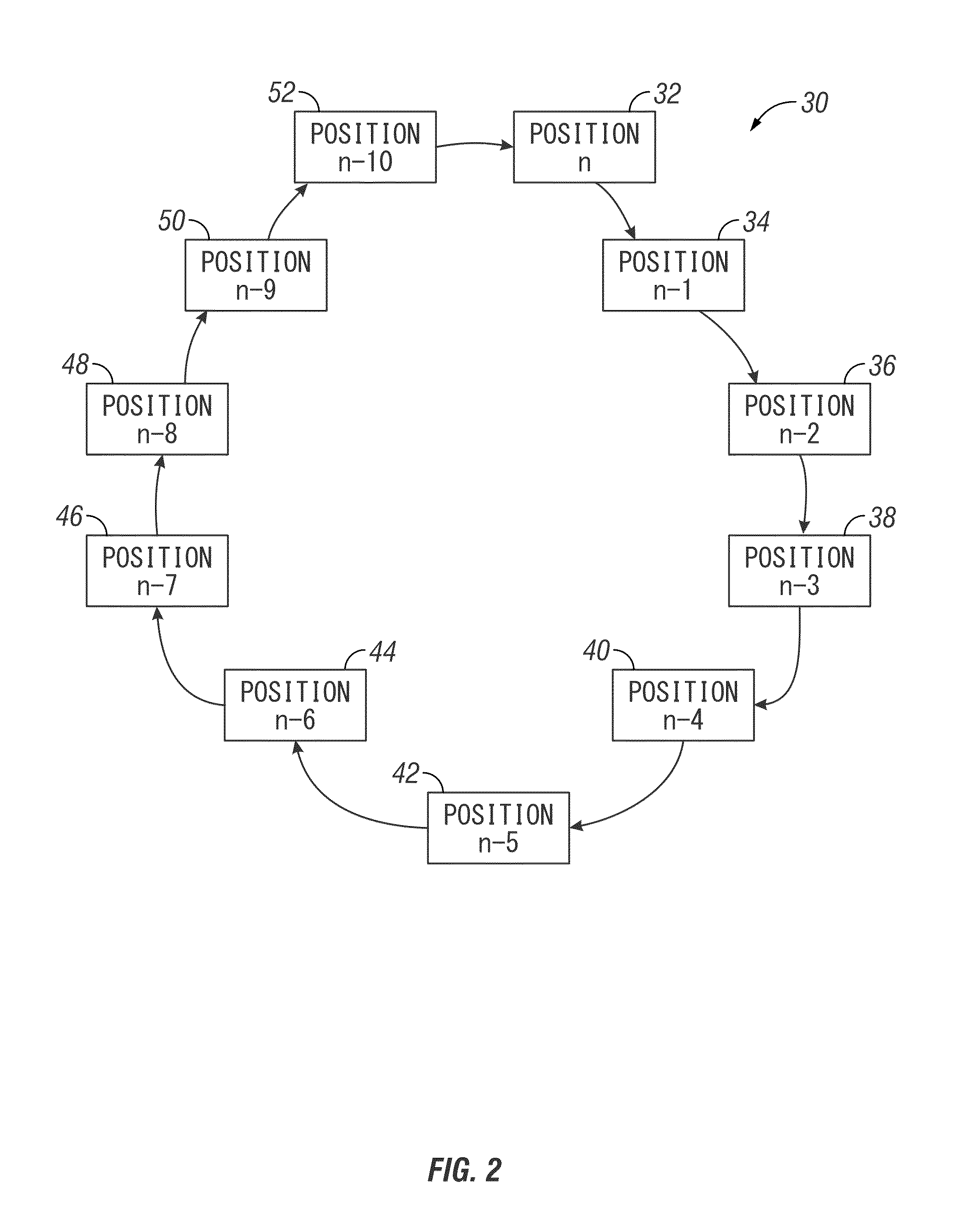
[0022]The navigation system for an agricultural vehicle commonly uses GNSS position information which is updated several times per second. When a single GNSS antenna is used, and a heading measurement is needed, the GNSS heading measurement is normally determined from the change in the current and previous position measurements. Given an X-Y coordinate system, the travel direction can be calcul...
PUM
 Abstract
Description
Claims
Application Information
 - R&D
- Intellectual Property
- Life Sciences
- Materials
- Tech Scout
- Unparalleled Data Quality
- Higher Quality Content
- 60% Fewer Hallucinations
Browse by: Latest US Patents, China's latest patents, Technical Efficacy Thesaurus, Application Domain, Technology Topic, Popular Technical Reports.
© 2025 PatSnap. All rights reserved.Legal|Privacy policy|Modern Slavery Act Transparency Statement|Sitemap|About US| Contact US: help@patsnap.com


