
A method for validating geological model data over corresponding original seismic data

Active Publication Date: 2020-03-26
FOSTER FINDLAY ASSOCS
View PDF42 Cites 6 Cited by
  • Summary
  • Abstract
  • Description
  • Claims
  • Application Information

AI Technical Summary

Benefits of technology

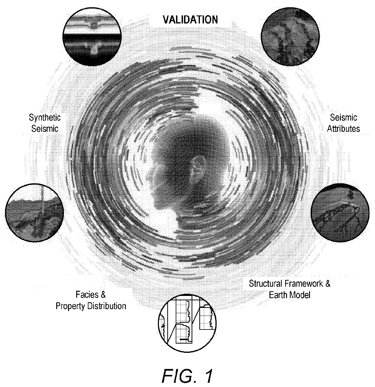
The present invention is about using computer technology to help oil and gas explorers search for oil and gas using seismic data. The invention focuses on creating a 3D model of the earth's properties to better understand where oil and gas may be located. The invention aims to minimize the uncertainty between the actual properties and the ones derived from the model. The technical effects of the invention are improved accuracy and efficiency in oil and gas exploration.

Problems solved by technology

One of the challenges of the interpreter(s) is to try and replicate known or conceptual geological features that are presumed to be present in the subsurface.
However, most of the known conventional approaches to geological and property modelling rely on well data to drive the results, as (until very recently) the ability to see and derive information from seismic data was very limited.
Some of the geological variations that may be seen in well log data are too complex to attempt to model.
Often, there is additional degradation of the data due to the averaging methods used to assign values to grid cells.
As can be seen, current methods and modelling techniques include significant number of assumptions and approximations that are made during the geological modelling workflow and none of these methods or techniques are capable of providing any kind of quality assurance of the modelled data and interpreted properties.
Furthermore, none of the available techniques / methods is able to (quickly and easily) assess different assumptions and approximations, so as to ensure the best fit of the modelled data.

Method used


Image

  • A method for validating geological model data over corresponding original seismic data
  • A method for validating geological model data over corresponding original seismic data
  • A method for validating geological model data over corresponding original seismic data

Examples


Embodiment Construction

)

[0060]The exemplary embodiments of this invention will be described in relation to geological modelling described in any one of EP2867703A, EP2867705A, EP3047311A, EP3001866B and WO2016 / 124878. However, it should be appreciated that, in general, the method and system of the present invention will work equally well with any other geological model created from 2D or 3D seismic data.

[0061]For purposes of explanation, it should be appreciated that the terms ‘determine’, ‘calculate’ and ‘compute’, and variations thereof, as used herein are used interchangeably and include any type of methodology, process, mathematical operation or technique. The terms ‘generating’ and ‘adapting’ are also used interchangeably describing any type of computer modelling technique for visual representation of a subterranean environment from geological survey data, such as 3D seismic data. In addition, the terms ‘vertical’ and ‘horizontal’ refer to the angular orientation with respect to the surface of the ea...


PUM


Abstract

The present invention describes A computer implemented method for generating a validated geological model from three-dimensional (3D) seismic data and legacy data, the method comprising the steps of (a) receiving said legacy data from a first data source; (b) receiving said 3D seismic data from a second data source; (c) based on receiving said legacy data and said 3D seismic data, generating an adaptive geological model from said 3D seismic data, said adaptive geological model comprising at least one characteristic geological property; (d) generating at least one synthetic seismic data from at least a first region of interest of said adaptive geological model, the synthetic seismic data being adapted to determine a qualitative similarity value between at least said first region of interest of said adaptive geological model and a corresponding region of interest of said received 3D seismic data; (e) comparing said qualitative similarity value to a corresponding value within said legacy data; (f) adjusting said at least one characteristic geological property until said qualitative similarity value is within a predetermined threshold region of said corresponding value from said legacy data, and (g) automatically generating said validated geologic model including said at least one characteristic geological property that has been modified to be within said predetermined threshold region of said corresponding value from said legacy data.

Description

[0001]The present invention relates generally to the field of oil and gas exploration, and in particular to the field of computer aided exploration for hydrocarbons using geophysical data, such as for example seismic data, of the earth. Even more particular, the present invention relates to geological modelling from 3D seismic data and optimising the conceptual model to the original corresponding 3D seismic data so as to minimise the uncertainty between the “real” properties and the interpreted properties derived from the geological model.INTRODUCTION[0002]In the oil and gas industry, geological data surveys such as, for example, seismic prospecting and other similar techniques are commonly used to aid in the search for and evaluation of subterranean hydrocarbon deposits. Furthermore, production geologists are increasingly using computer-based geological models or geomodel (e.g. using 3D geocellular modelling packages) to represent a reservoir's geology.[0003]One of the challenges o...

Claims


Application Information

Patent Timeline
IPC IPC(8): G01V1/30G01V1/28G01V99/00G06F30/27
CPCG01V1/282G01V2210/6169G06F30/27G01V2210/6652G01V1/306G01V99/005G01V2210/614G01V2210/62G01V2210/642G01V2210/624G01V2210/64G01V1/28G01V1/30G01V2210/665G01V20/00
Inventor ECKERSLEY, ADAMLOWELL, JAMESHENDERSON, JONATHANPATON, GAYNOR SUZANNE
Owner FOSTER FINDLAY ASSOCS
Learn More