High resolution resistivity earth imager
a resistivity earth and imager technology, applied in the field of hydrocarbon exploration, can solve the problems of insufficient coverage, insufficient image resolution, sensitive contact devices,
- Summary
- Abstract
- Description
- Claims
- Application Information
AI Technical Summary
Benefits of technology
Problems solved by technology
Method used
Image
Examples
Embodiment Construction
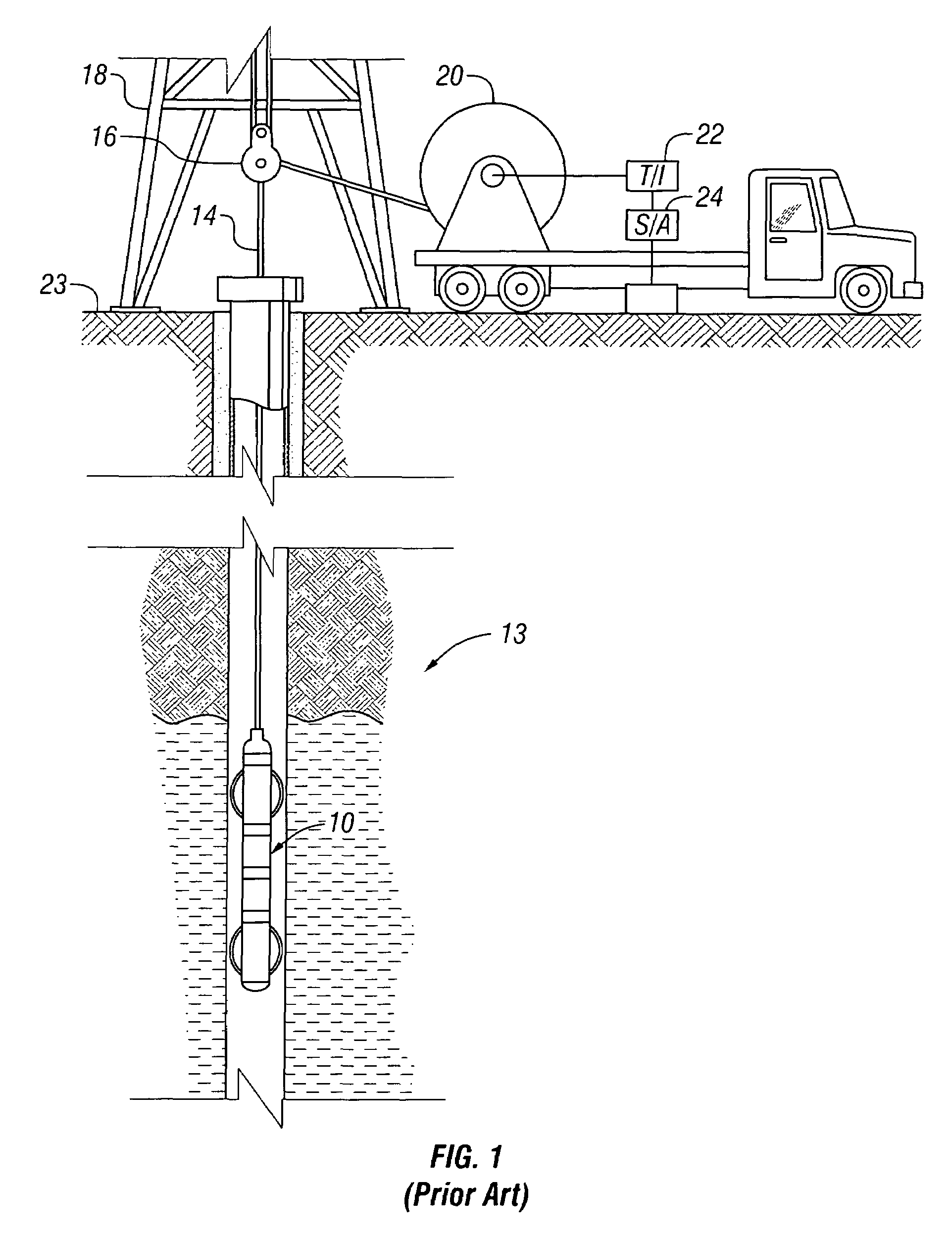
[0021]FIG. 1 shows an exemplary imaging tool 10 suspended in a borehole 12, that penetrates earth formations such as 13, from a suitable cable 14 that passes over a sheave 16 mounted on drilling rig 18. By industry standard, the cable 14 includes a stress member and seven conductors for transmitting commands to the tool and for receiving data back from the tool as well as power for the tool. The tool 10 is raised and lowered by draw works 20. Electronic module 22, on the surface 23, transmits the required operating commands downhole and in return, receives data back which may be recorded on an archival storage medium of any desired type for concurrent or later processing. The data may be transmitted in analog or digital form. Data processors such as a suitable computer 24, may be provided for performing data analysis in the field in real time or the recorded data may be sent to a processing center or both for post processing of the data.
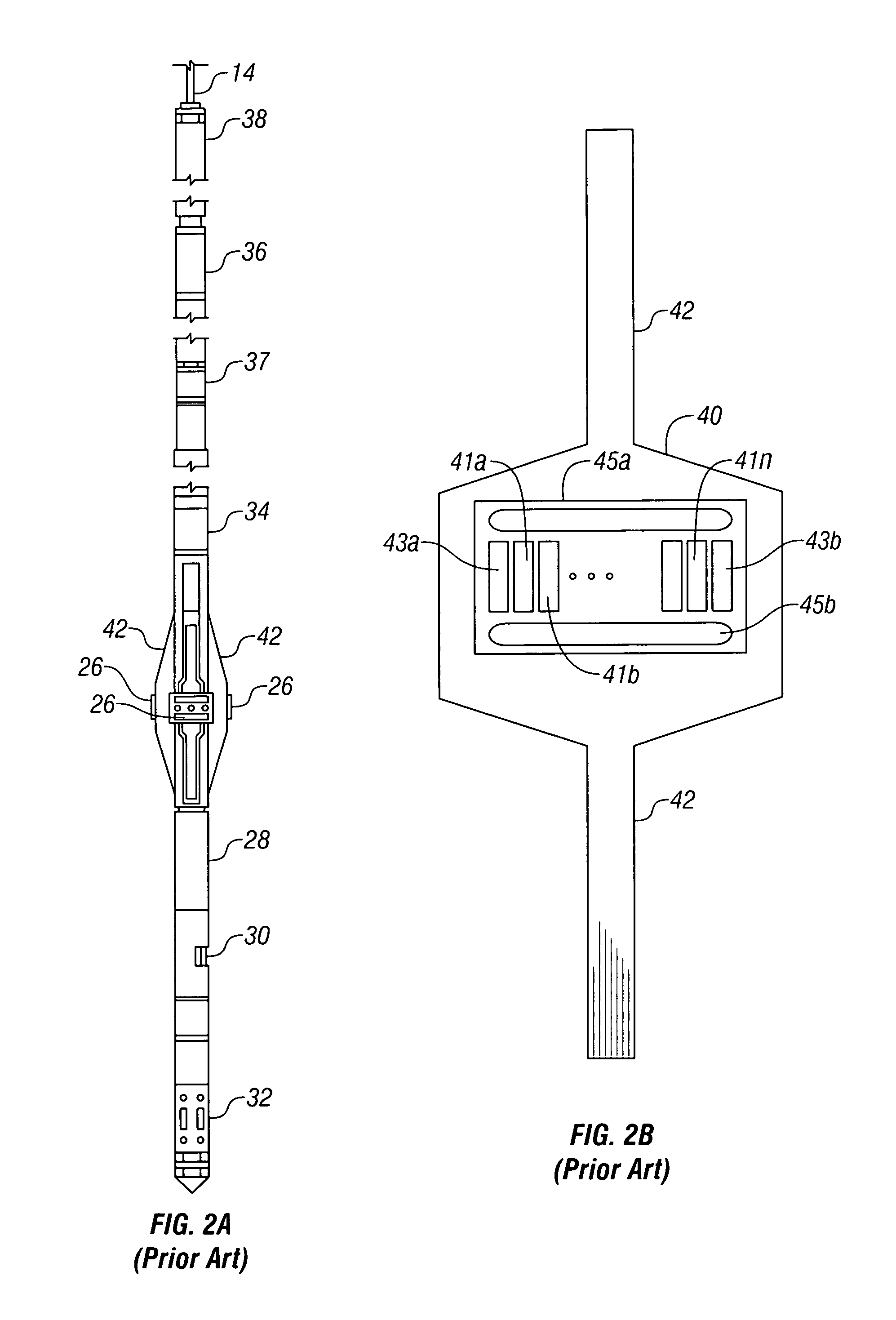
[0022]FIG. 2a is a schematic external view of ...
PUM
 Abstract
Description
Claims
Application Information
 - R&D
- Intellectual Property
- Life Sciences
- Materials
- Tech Scout
- Unparalleled Data Quality
- Higher Quality Content
- 60% Fewer Hallucinations
Browse by: Latest US Patents, China's latest patents, Technical Efficacy Thesaurus, Application Domain, Technology Topic, Popular Technical Reports.
© 2025 PatSnap. All rights reserved.Legal|Privacy policy|Modern Slavery Act Transparency Statement|Sitemap|About US| Contact US: help@patsnap.com


