

Method of processing geophysical data
- Summary
- Abstract
- Description
- Claims
- Application Information
AI Technical Summary
Benefits of technology
Problems solved by technology
Method used
Image

Examples
Embodiment Construction
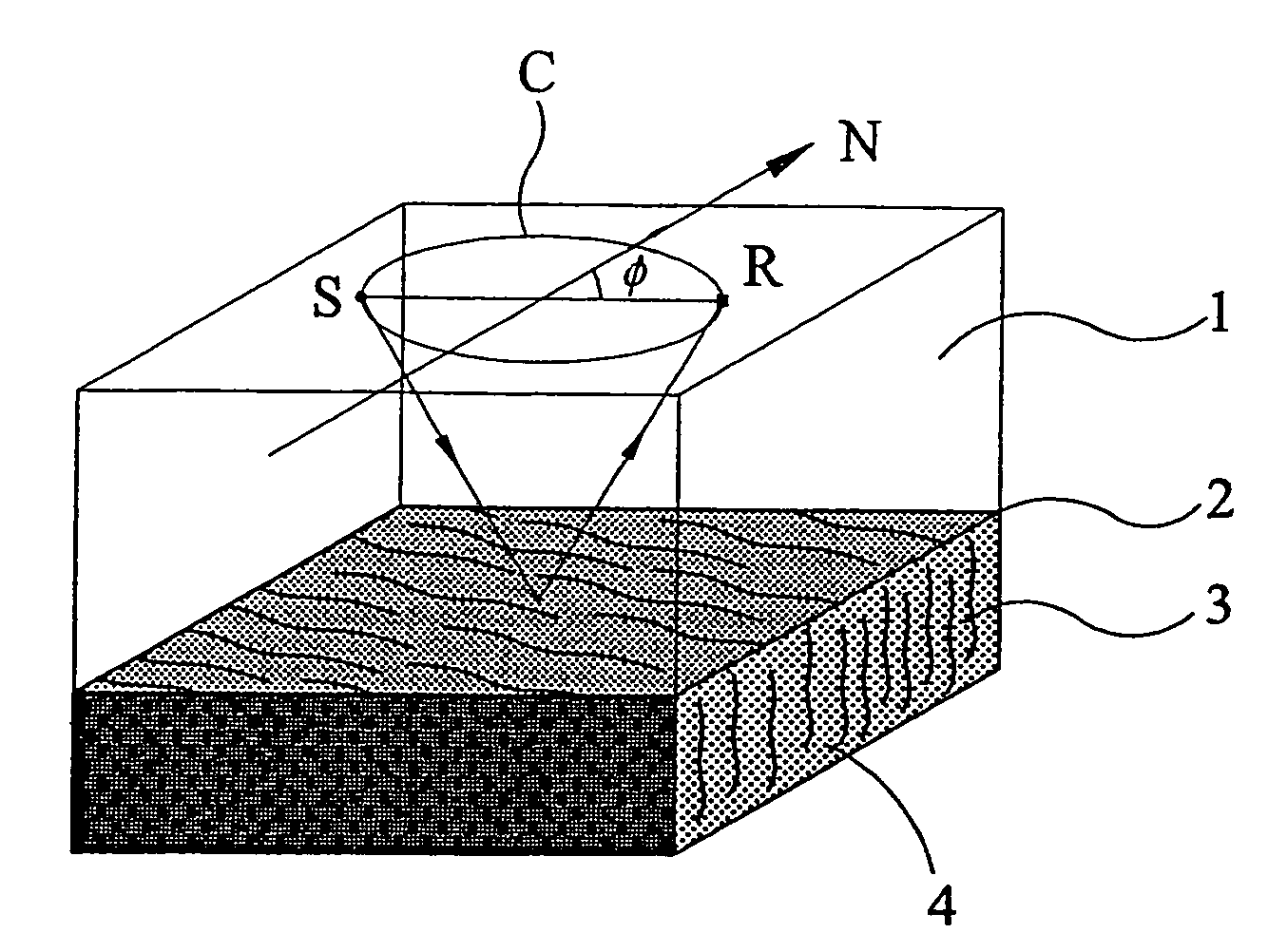
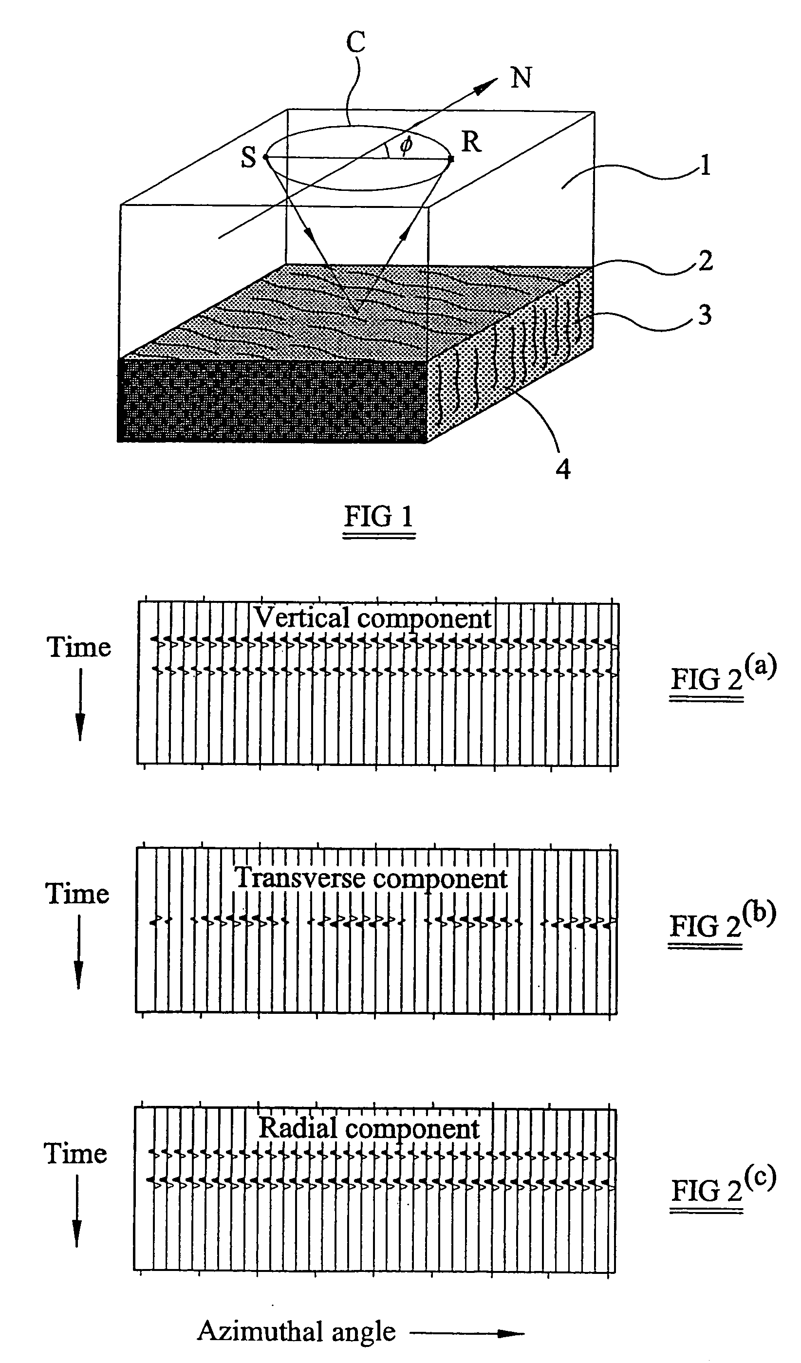
[0042]The principal steps of a method according to an embodiment of the present invention are schematically illustrated in FIG. 5. In this embodiment the geophysical data are seismic data.
[0043]Initially, at step 1, seismic data are acquired. The seismic data contains sets of data acquired at different source-receiver azimuths. The seismic data acquired in step 1 is shown in FIG. 5 as comprising a set of seismic data for every 10° increment in the source-receiver azimuth, but the sets of seismic data could be acquired using smaller or greater increments in the source-receiver azimuths. In the absence of any a prior knowledge about the azimuthal orientation of symmetry planes within the earth, the geophysical data preferably contains dense azimuthal sampling over the full 360° azimuth range. However, if there is pre-existing information about the orientation of symmetry planes it may be sufficient to acquire data having a smaller azimuth range that includes the expected azimuth of a ...
PUM
 Abstract
Description
Claims
Application Information