Strict imaging model and positioning method considering satellite fluttering
A technology of strict imaging model and positioning method, applied in the field of strict satellite imaging, it can solve the problems of satellite attitude modeling error, positioning error, inability to model, etc., and achieve the effect of improving positioning accuracy
- Summary
- Abstract
- Description
- Claims
- Application Information
AI Technical Summary
Problems solved by technology
Method used
Image
Examples
Embodiment 1
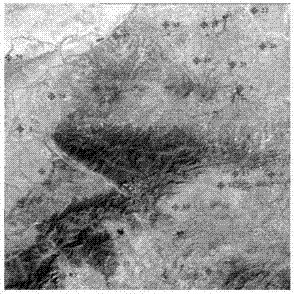
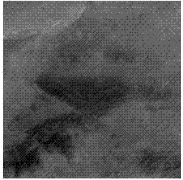
[0076] The experiment uses the same-orbit three-view stereo image zero-level product of a domestic surveying and mapping satellite in a certain area in Henan Province, and the shooting time is February 2012. The image resolution is 2.1m for the bottom view and 3.5m for the front and rear views, and the coverage area is about 51km×50km. Three-view stereoscopic images such as figure 2 , 3, 4 shown.
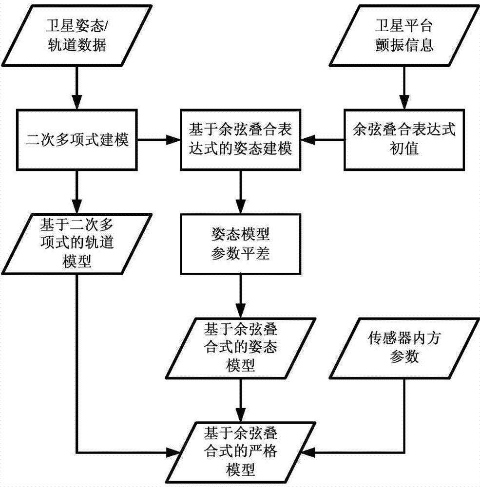
[0077] The on-orbit test results of domestic surveying and mapping satellites show that during the period corresponding to the experimental data used, the satellite platform will be subjected to periodic flutter with a frequency of 0.63 Hz, and the amplitude of the flutter in the vertical orbit direction of the image is about 0.6 pixels. The along-track direction is about 0.3 pixels. Based on the obtained satellite flutter information, stereotaxic experiments were performed using a rigorous imaging model based on cosine superposition expressions.
[0078] A total of 27 ground GP...
PUM
 Abstract
Description
Claims
Application Information
 - R&D
- Intellectual Property
- Life Sciences
- Materials
- Tech Scout
- Unparalleled Data Quality
- Higher Quality Content
- 60% Fewer Hallucinations
Browse by: Latest US Patents, China's latest patents, Technical Efficacy Thesaurus, Application Domain, Technology Topic, Popular Technical Reports.
© 2025 PatSnap. All rights reserved.Legal|Privacy policy|Modern Slavery Act Transparency Statement|Sitemap|About US| Contact US: help@patsnap.com


