Navigation radar co-frequency interference inhibition method based on spatial correlation
A technology of spatial correlation and marine radar, applied in radio wave measurement systems, instruments, etc., can solve uninvolved problems, and achieve the effect of reducing false positive rate, good spatial correlation, and fast filtering characteristics
- Summary
- Abstract
- Description
- Claims
- Application Information
AI Technical Summary
Problems solved by technology
Method used
Image
Examples
Embodiment Construction
[0039] The X-band marine radar co-channel interference suppression method based on spatial correlation proposed by the present invention will be further described in detail below in conjunction with the accompanying drawings. For the flow chart of the implementation, see Image 6 Specifically, it can be divided into the following steps. The first step is to read the original radar image; the second step is to use the correlation coefficient method to detect the noise line; the third step is to repair the noise line of the radar image.
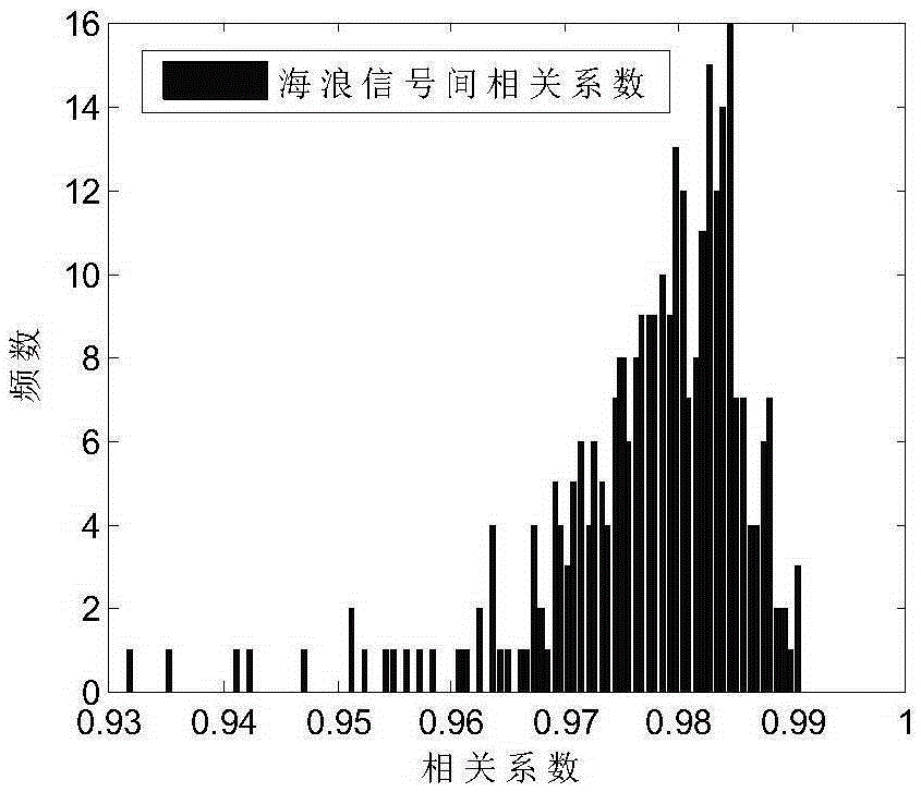
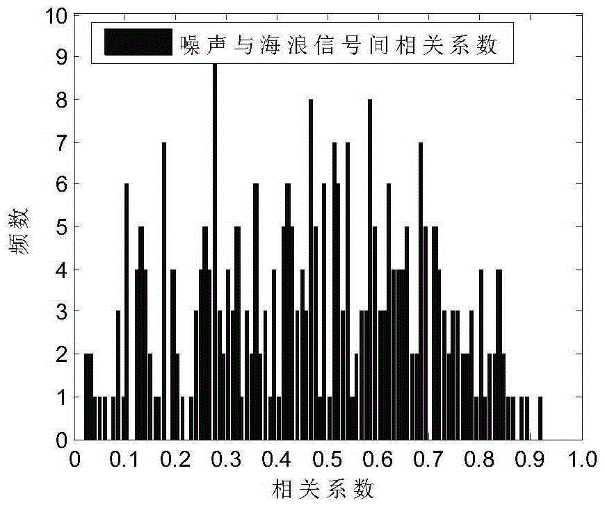
[0040] combined with Figure 1~6 , the concrete steps of the present invention are:
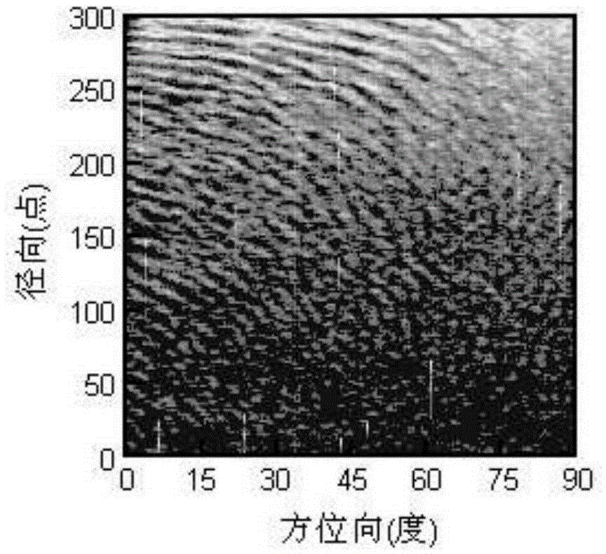
[0041] The first step is to read the original radar image, use the radar image processing software to load the continuous image of space sea clutter, and simultaneously record the image sampling points, bus number, azimuth, display mode and other information. attached figure 1 It is a part of the original radar image in the Cartesian coordinate system. The ...
PUM
 Abstract
Description
Claims
Application Information
 - R&D
- Intellectual Property
- Life Sciences
- Materials
- Tech Scout
- Unparalleled Data Quality
- Higher Quality Content
- 60% Fewer Hallucinations
Browse by: Latest US Patents, China's latest patents, Technical Efficacy Thesaurus, Application Domain, Technology Topic, Popular Technical Reports.
© 2025 PatSnap. All rights reserved.Legal|Privacy policy|Modern Slavery Act Transparency Statement|Sitemap|About US| Contact US: help@patsnap.com


