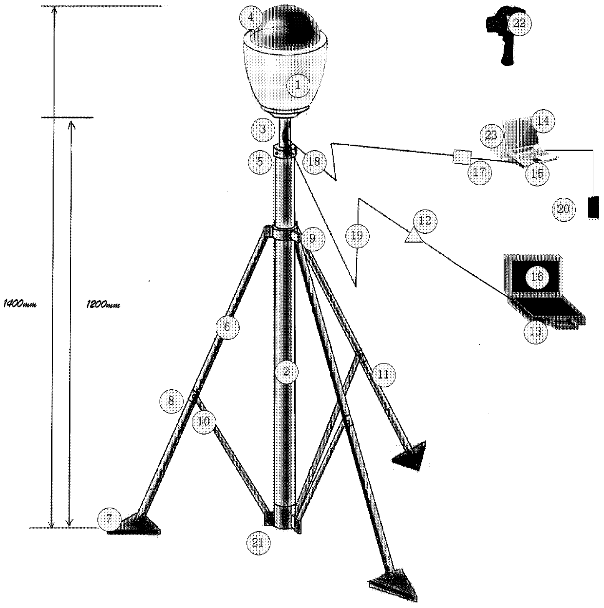
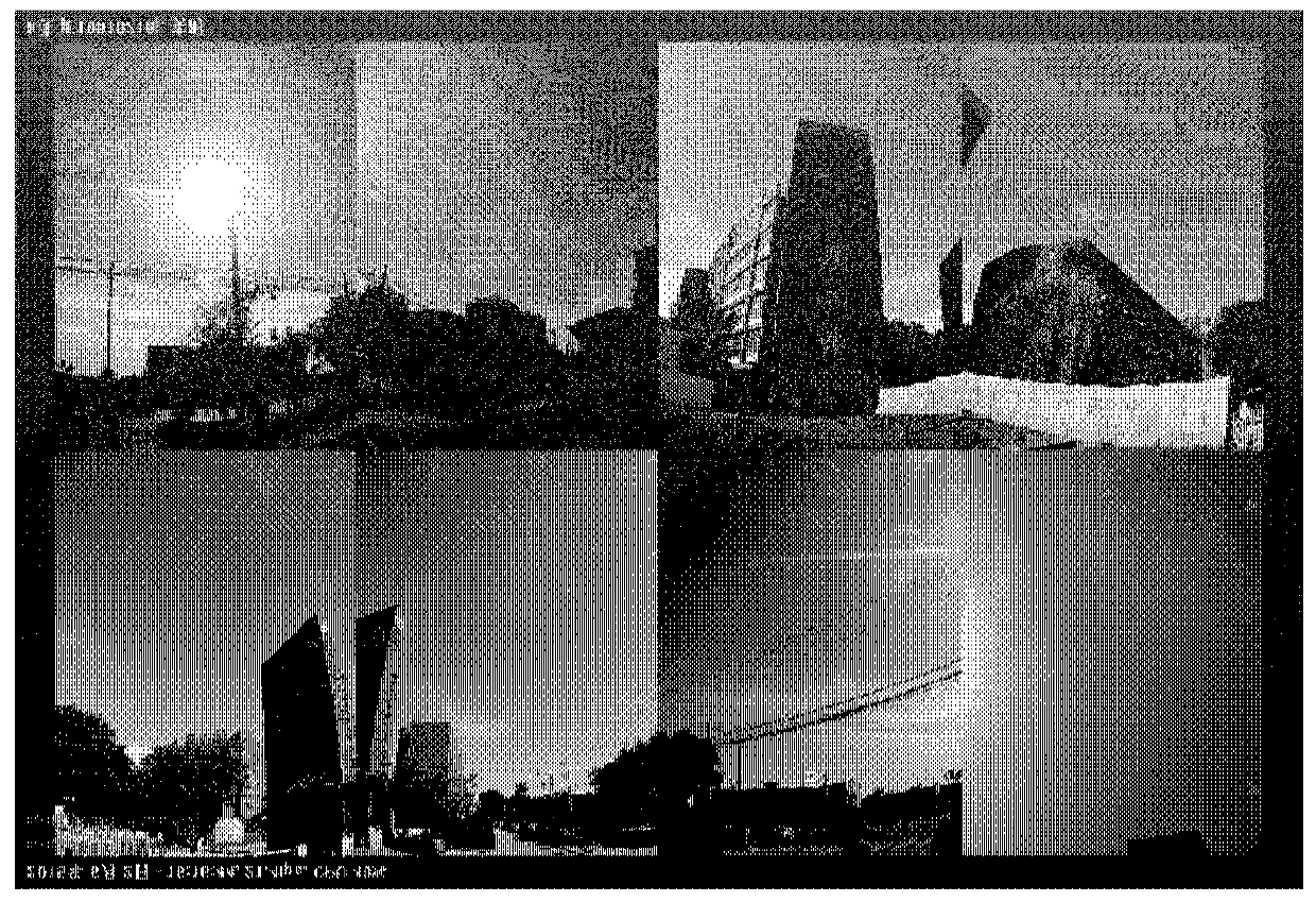
Panoramic image acquisition system, device and method for measuring skyline based thereon
A panoramic image and skyline technology, applied in measuring devices, TV system components, photogrammetry/video metrology, etc., to achieve the effect of easy operation, high reliability and high precision
- Summary
- Abstract
- Description
- Claims
- Application Information
AI Technical Summary
Problems solved by technology
Method used
Image
Examples
Embodiment Construction
[0033] In order to make the object, technical solution and advantages of the present invention clearer, the present invention will be further described in detail below in conjunction with specific embodiments and with reference to the accompanying drawings.
[0034] The invention discloses a brand-new method for quantitatively evaluating the city skyline based on a 360-degree panoramic image system. Its technical field belongs to G01C11 / 00 photogrammetry according to the International Patent Classification (IPC), but the main problem to be solved should belong to Urban planning, urban design or urban landscape geography. It can be said that this is a set of application of modern panoramic imaging technology, which abandons the shortcomings of individual subjectivity, random layout or partial observation in traditional methods, and innovatively conducts objective, scientific, all-angle and quantitative measurement of the skyline in the field of urban geographical landscape. com...
PUM
 Abstract
Description
Claims
Application Information
 - R&D
- Intellectual Property
- Life Sciences
- Materials
- Tech Scout
- Unparalleled Data Quality
- Higher Quality Content
- 60% Fewer Hallucinations
Browse by: Latest US Patents, China's latest patents, Technical Efficacy Thesaurus, Application Domain, Technology Topic, Popular Technical Reports.
© 2025 PatSnap. All rights reserved.Legal|Privacy policy|Modern Slavery Act Transparency Statement|Sitemap|About US| Contact US: help@patsnap.com


