Method for obtaining vivid three-dimensional urban road map
A three-dimensional road and road technology, applied in the field of navigation, can solve the problems of massive data processing and simulation data construction workload, high workload and high cost
- Summary
- Abstract
- Description
- Claims
- Application Information
AI Technical Summary
Problems solved by technology
Method used
Image
Examples
Embodiment Construction
[0026] The present invention will be described in further detail below in conjunction with the accompanying drawings.
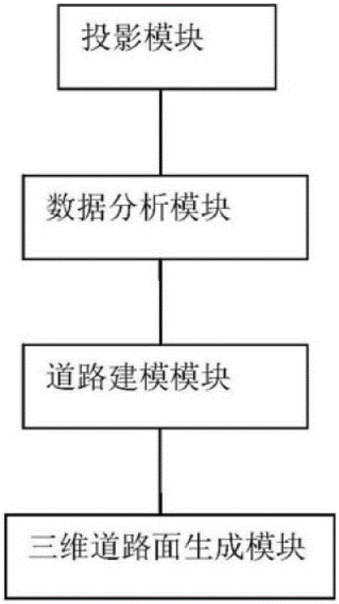
[0027] Such as figure 1 As shown, it is a three-dimensional road generation system according to an embodiment of the present invention, and the system includes:
[0028] The projection module is used to convert the obtained road latitude and longitude coordinates into geodetic coordinates;
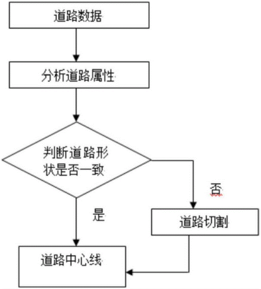
[0029] The data analysis module is used to cut the attribute data and geodetic coordinate data of the road to form the linear data of the road;
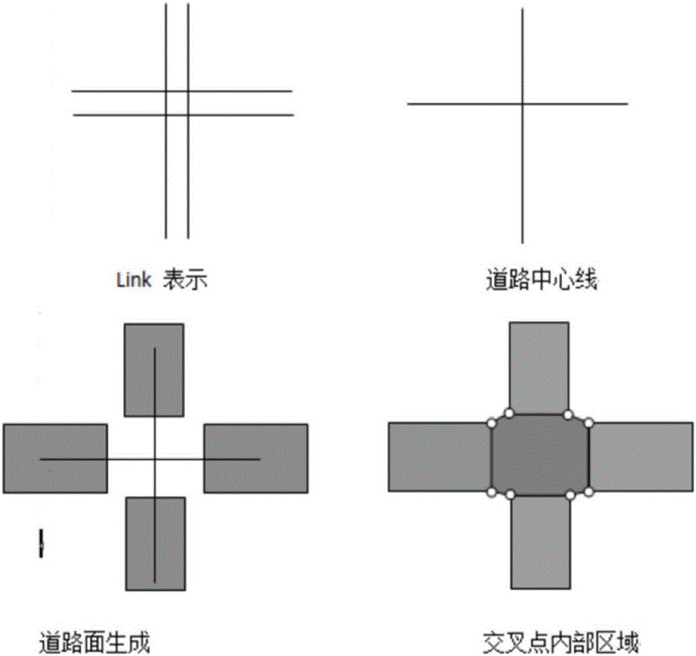
[0030] The road modeling module is used to analyze the linear data to determine whether double digitization can be merged, and if so, double digitization is merged to form planar data;
[0031] The three-dimensional road surface generation module is used to extract the road centerline according to the surface data, and generate the three-dimensional road surface.
[0032] In this system, the GPS coordinates in the form of lon...
PUM
 Abstract
Description
Claims
Application Information
 - R&D
- Intellectual Property
- Life Sciences
- Materials
- Tech Scout
- Unparalleled Data Quality
- Higher Quality Content
- 60% Fewer Hallucinations
Browse by: Latest US Patents, China's latest patents, Technical Efficacy Thesaurus, Application Domain, Technology Topic, Popular Technical Reports.
© 2025 PatSnap. All rights reserved.Legal|Privacy policy|Modern Slavery Act Transparency Statement|Sitemap|About US| Contact US: help@patsnap.com


