

Tunnel orthographic image acquisition system based on laser radar LIDAR point cloud data and tunnel orthographic image acquisition method thereof
A point cloud data and lidar technology, applied in image data processing, image enhancement, image analysis, etc., can solve the problems of distortion and distortion of panoramic images, unable to reflect the real size of the inner wall of the actual mileage of the tunnel, etc.
- Summary
- Abstract
- Description
- Claims
- Application Information
AI Technical Summary
Problems solved by technology
Method used
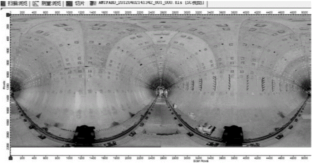
Image

Examples
Embodiment Construction
[0038] The present invention will be further explained below in conjunction with the accompanying drawings.
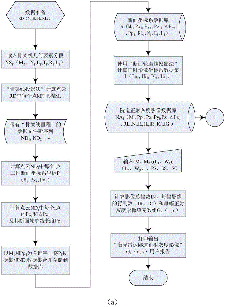
[0039] The invention provides a system for obtaining tunnel orthophotos based on laser radar point cloud data, including a point cloud file input module, a point cloud data management module, a point cloud data projection processing module, a laser radar image generation module, and a laser radar flatness Module and Imaging Results Reporting Module.
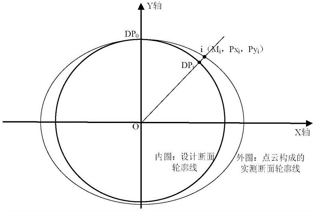
[0040] Among them, the point cloud file input module takes the original 3D point cloud data set RD(N k ,E k ,H k ,RL k ), through the tunnel skeleton line mileage projection method to get the tunnel skeleton line mileage M of point k k ; then follow the M k The segmented mileage length range divides the original 3D point cloud dataset RD into multiple point cloud segmented datasets ND j (M i ,N i ,E i ,H i ,RL i ), where N k The north coordinate of the skeleton line coordinate system corresponding to the kth l...
PUM
 Abstract
Description
Claims
Application Information