Method for typhoon monitoring and evaluation of monitoring precision based on multi-source satellite data
A satellite data and typhoon technology, applied in the field of remote sensing, can solve problems such as the large differences in the imaging principles of meteorological satellites and marine satellites, and achieve the effect of comprehensive monitoring
- Summary
- Abstract
- Description
- Claims
- Application Information
AI Technical Summary
Problems solved by technology
Method used
Image
Examples
Embodiment Construction
[0039] The following are specific embodiments of the present invention and in conjunction with the accompanying drawings, the technical solutions of the present invention are further described, but the present invention is not limited to these embodiments.
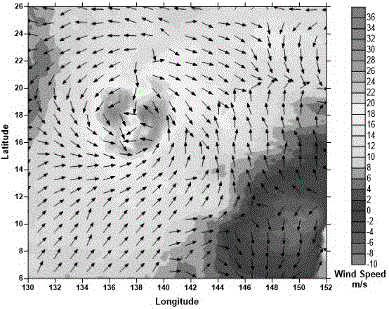
[0040] Taking typhoon "Chanhong" as an example, the typhoon monitoring method includes the following steps:
[0041] The first step is to obtain typhoon information data:
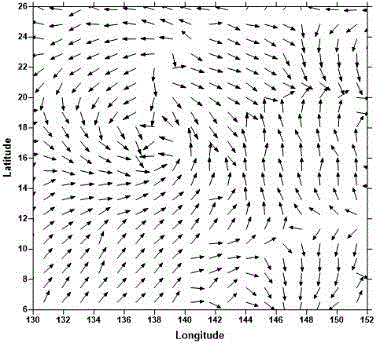
[0042] Using the infrared channel data of the Fengyun static meteorological satellite FY-2E zoning map as the basic data source, use the IDL (Interactive Data Language) programming language to read and process the image as the research cloud guide wind vector data;
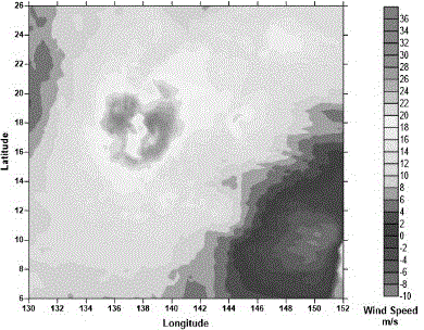
[0043] Use the ocean satellite HY-2 to obtain the L2B data of the microwave scatterometer as the data source. The L2B data of HY-2 is in HDF5 format. Use IDL to read the data. Since the L2B data is divided into files according to the orbit number, when reading the data , this embodiment ta...
PUM
 Abstract
Description
Claims
Application Information
 - R&D
- Intellectual Property
- Life Sciences
- Materials
- Tech Scout
- Unparalleled Data Quality
- Higher Quality Content
- 60% Fewer Hallucinations
Browse by: Latest US Patents, China's latest patents, Technical Efficacy Thesaurus, Application Domain, Technology Topic, Popular Technical Reports.
© 2025 PatSnap. All rights reserved.Legal|Privacy policy|Modern Slavery Act Transparency Statement|Sitemap|About US| Contact US: help@patsnap.com


