Gust front automatic recognition method based on Doppler weather radar data
A weather radar and automatic identification technology, applied in the field of meteorology, can solve problems such as failure to play, no breaks seen, and gust fronts not seen yet
- Summary
- Abstract
- Description
- Claims
- Application Information
AI Technical Summary
Problems solved by technology
Method used
Image
Examples
Embodiment
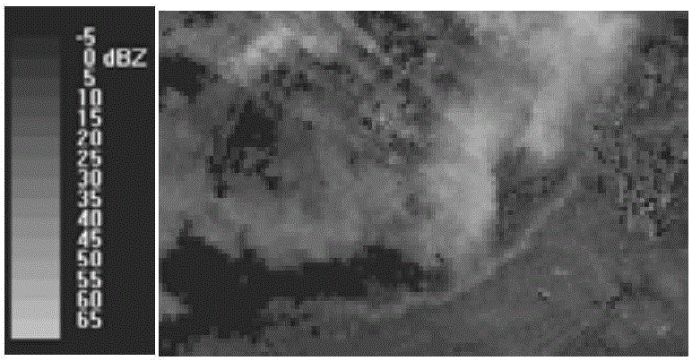
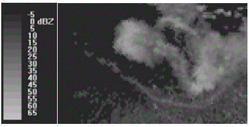
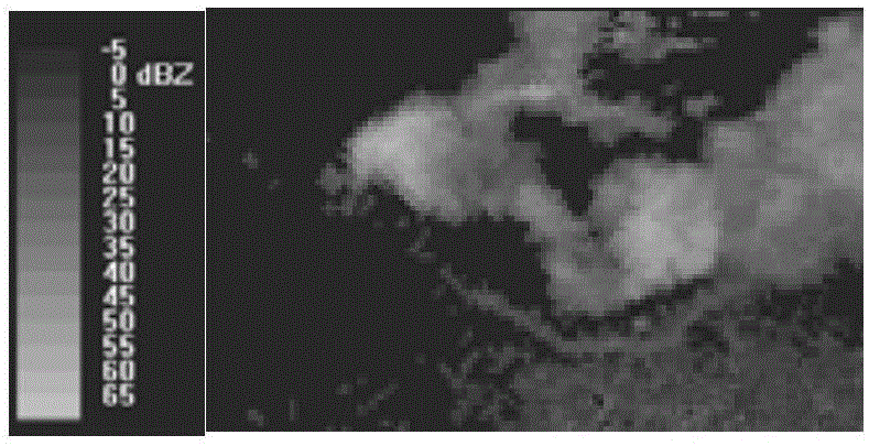
[0073] Example: A gust front observed in a Doppler radar low-elevation reflectivity map as Figure 1(a) to Figure 1(e) As shown, its image features include but are not limited to:
[0074] 1) A gust front usually appears as a weak narrow-band echo at the periphery of a strong echo, generally located at the front or side of the thunderstorm parent body, which is separated from or partially adhered to the thunderstorm parent body, as shown in Figure 1(a);
[0075] 2) Width variation range: 2km-10km;
[0076] 3) Length variation range: 40km-300km;
[0077] 4) The value of reflectivity is indeterminate: at the same time, the echo intensity on a gust front area is usually different, as shown in Figure 1(b). At different times, the value and distribution of the echo intensity on the same gust front will also change (As shown in Fig. 1(b) and Fig. 1(c), the date is 2006.06.14, the time of Fig. 1(b) is 09:49 and the time of Fig. 1(c) is 09:31), but they are mostly concentrated in 10dBz...
PUM
 Abstract
Description
Claims
Application Information