

Space function unit-based land area province city and county space planning three-region identification method
- Summary
- Abstract
- Description
- Claims
- Application Information
AI Technical Summary
Problems solved by technology
Method used
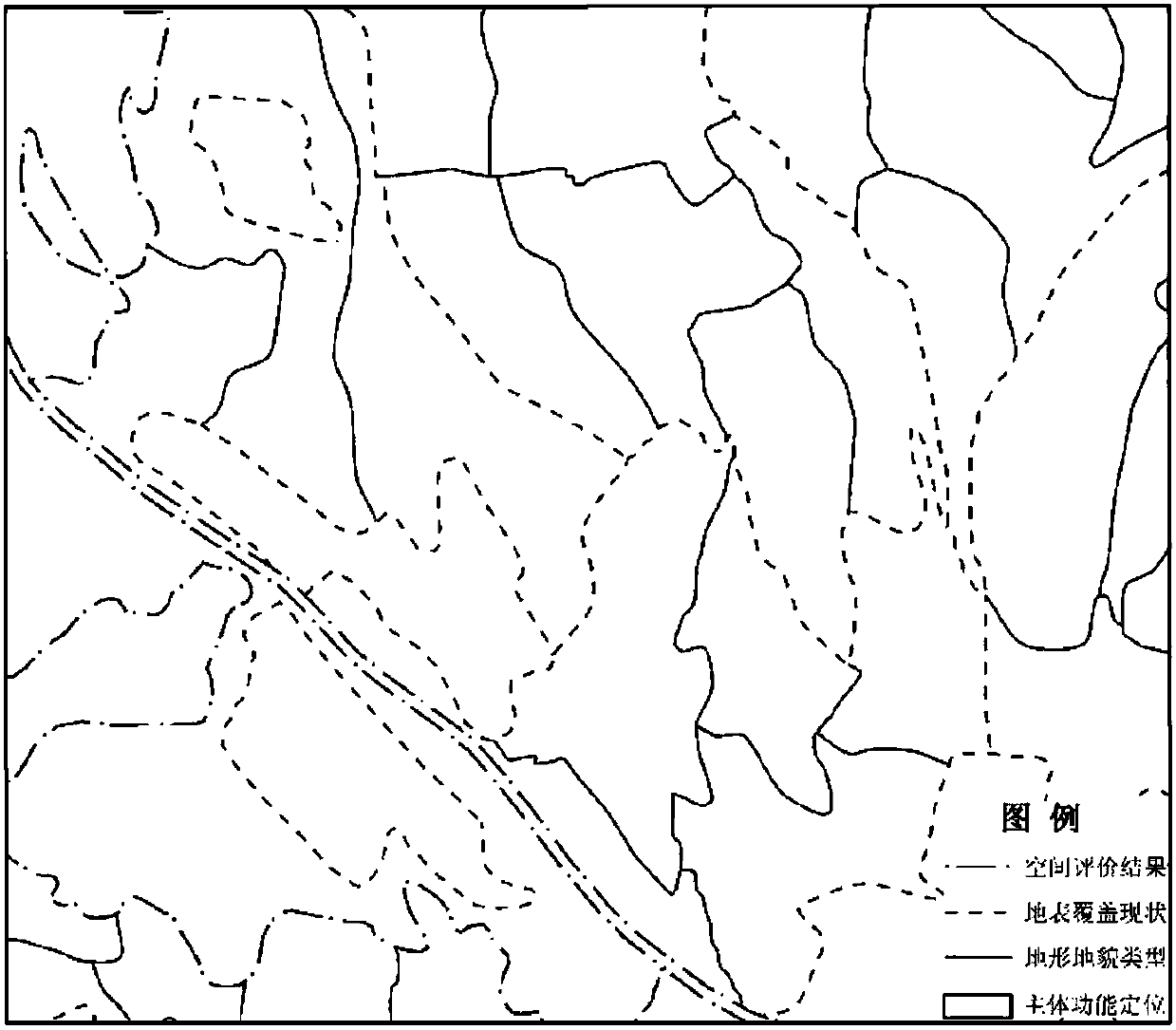
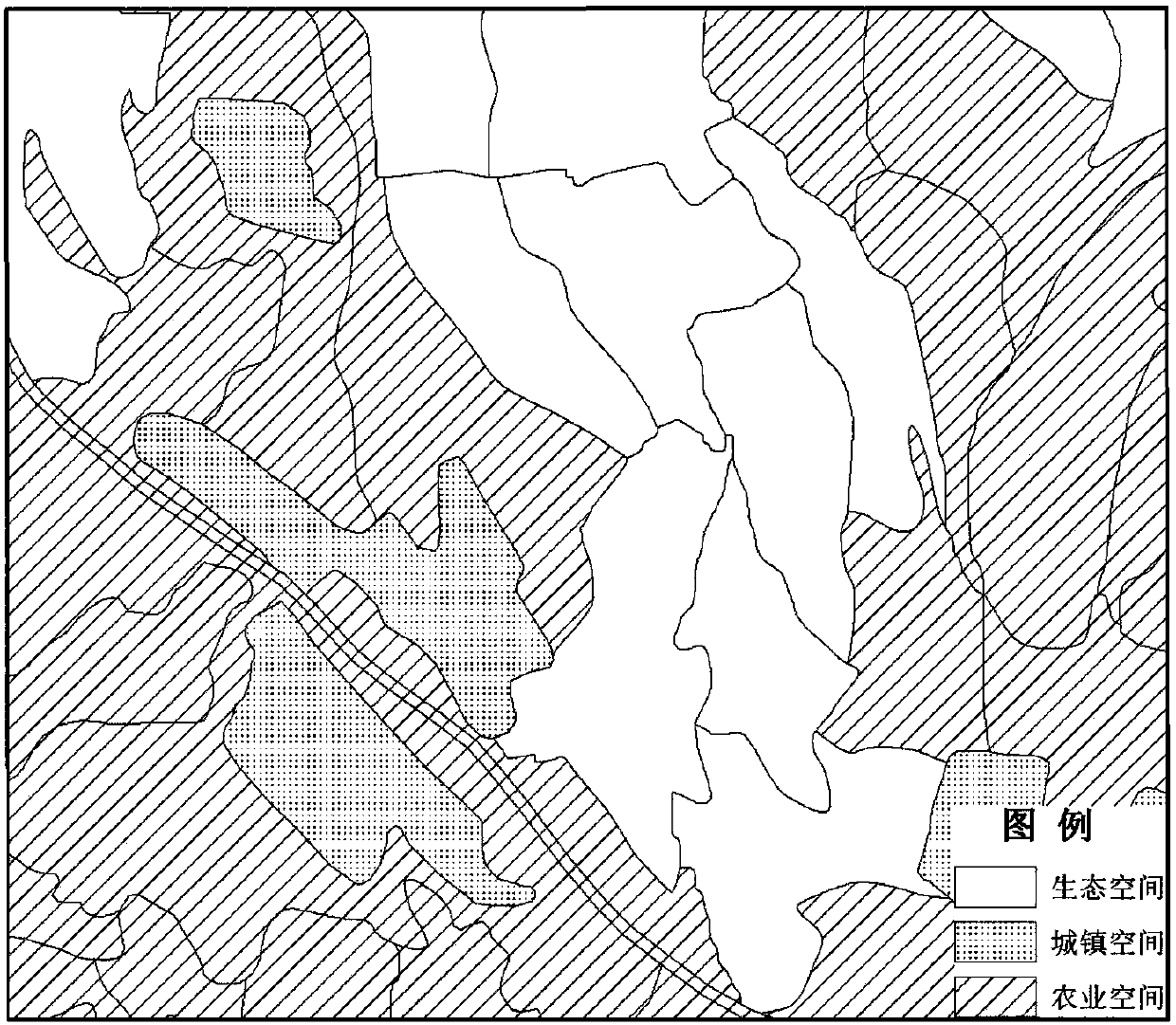
Image

Examples
Embodiment Construction
[0020] The following will clearly and completely describe the technical solutions in the embodiments of the present invention with reference to the drawings in the embodiments of the present invention.
[0021] The present invention provides a method for identifying three regions in the spatial planning of land provinces, cities and counties based on spatial functional units. The decision tree algorithm models the classification rules of the three regions to realize the automation of the classification and delineation of the three regions, so as to effectively and meticulously integrate and represent the spatial characteristics and attribute characteristics of geographical elements into spatial units, and accurately carry out the classification of the three regions. Classification, the purpose of making the smallest space units independent of each other, internal homogeneity, stable structure and improving planning work efficiency.
[0022] The present invention will be descri...
PUM
 Abstract
Description
Claims
Application Information