Time division ground-based MIMO landslide radar imaging method based on IFFT and mix-match pursuit

A matching tracking and radar imaging technology, applied in radio wave measurement systems, instruments, etc., can solve the problems of large number of antennas and high data processing complexity

Active Publication Date: 2018-04-24
GUILIN UNIV OF ELECTRONIC TECH
View PDF6 Cites 16 Cited by
  • Summary
  • Abstract
  • Description
  • Claims
  • Application Information

AI Technical Summary

Problems solved by technology

[0005] The purpose of the present invention is to provide a time-division ground-based MIMO landslide radar imaging method based on IFFT and mixed-matching tracking, which is used to solve the problems of large number of antennas and high data processing complexity in existing imaging methods in the field of landslide monitoring, and aims at multi-target imaging Introduce the mixed-matching tracking algorithm to solve the problem of artifact points, which greatly improves the imaging quality

Method used


Image

  • Time division ground-based MIMO landslide radar imaging method based on IFFT and mix-match pursuit
  • Time division ground-based MIMO landslide radar imaging method based on IFFT and mix-match pursuit
  • Time division ground-based MIMO landslide radar imaging method based on IFFT and mix-match pursuit

Examples


Embodiment

[0074] Time-division ground-based MIMO landslide radar imaging method based on IFFT and hybrid matching tracking:

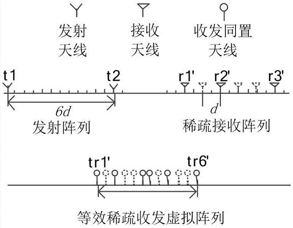
[0075] Step 1, constructing an equivalent random sparse transceiver array,

[0076] According to the landslide monitoring scenario, the transceiver array that meets the requirements is designed. The traditional MIMO radar is a uniform array with M transmitting and N receiving. The original receiving antenna spacing is λ / 2, and the transmitting antenna spacing is N(λ / 2), where λ is the wavelength of the transmitting wave. And specify the sparse arrangement of receiving arrays, randomly select N' receiving arrays from the original N receiving arrays, in order to ensure that the array aperture length is large enough, the positions of the first and last receiving antennas remain unchanged. According to the obtained N' sparse receiving array elements and M uniform transmitting array elements, MN' virtual array elements are obtained by using polynomial theory. Taking t...


PUM


Abstract

The invention discloses a time division ground-based MIMO landslide radar imaging method based on IFFT and mix-match pursuit, and aims to solve the problems that an existing mountain landslide monitoring field imaging method is high in data processing complexity and uses too many antennas; aiming at a multi-target imaging pseudo shadow point problem, the method introduces the mix-match pursuit algorithm, thus greatly improving the imaging quality; the method comprises the following steps: building an equivalent random sparse transmit-receive array; building an echo signal acquisition model; range direction compression treatment; azimuth compression treatment; finishing two dimension object high resolution imaging. The advantages are that the method can reduce the array quantity, can reducehardware cost, can reduce the data processing complexity, and can improve the range and azimuth resolutions.

Description

technical field [0001] The invention belongs to the technical field of landslide monitoring radar, and relates to a time-division ground-based MIMO landslide radar imaging method based on IFFT and mixed-matching tracking. Background technique [0002] Landslide is one of the common geological disasters, which has caused great harm to the construction and maintenance of railways and highways, as well as industrial and agricultural production. According to incomplete statistics, about one-sixth of the number of deaths and missing persons caused by natural disasters each year comes from landslide disasters, which cause huge losses to the safety of people's lives and property. Therefore, real-time monitoring of landslides is an important research direction in the field of disaster prevention in recent years, and it also has practical significance. [0003] Due to its stable, controllable and long-term repeatable observation characteristics, ground-based radar has become an impo...

Claims


Application Information

Patent Timeline
Patent Type & Authority Applications(China)
IPC IPC(8): G01S7/41
CPCG01S7/41
Inventor 蒋留兵杨中丽车俐宋永坤刘永吉李骢
Owner GUILIN UNIV OF ELECTRONIC TECH
Why Eureka
Try Eureka