A method for estimating oil spill area based on image processing and laser ranging
A technology of image processing and laser ranging, which is applied in the fields of marine environmental pollution detection and marine safety protection, to achieve the effects of easy implementation, improved cleaning and recycling efficiency, and low cost
- Summary
- Abstract
- Description
- Claims
- Application Information
AI Technical Summary
Problems solved by technology
Method used
Image
Examples
Embodiment Construction
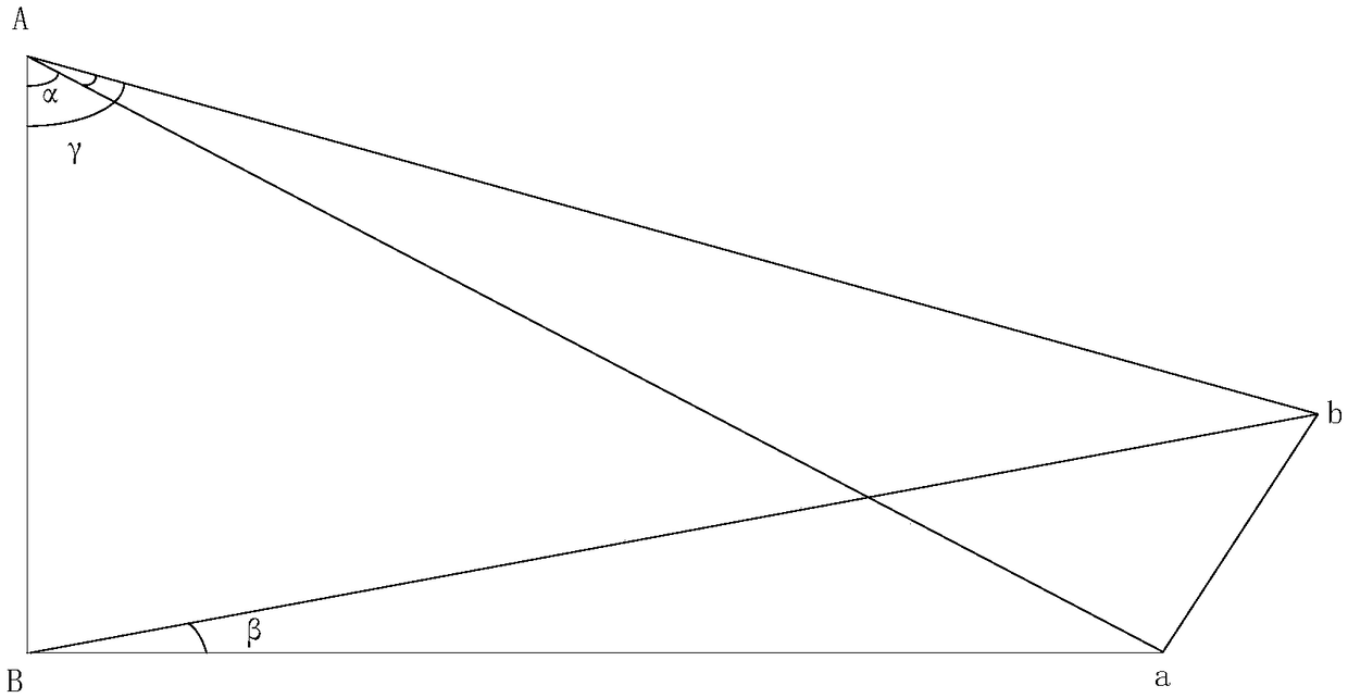
[0021] The technical idea of the present invention first obtains the pixel value of the oil spill area 1 quickly and accurately through the image processing technology, and then obtains the laser distance measuring machine reproduced on the basis of the high-precision two-dimensional servo structure, and measures the oil spill according to the edge conditions obtained by image processing The real distance between different positions of the oil film and the observation point, and the pixel value sum of the oil spill area is converted into the real area size2. Finally, the area calculation is performed by the corresponding area algorithm.
[0022] Specifically, the steps of the oil spill area estimation method based on image processing and laser ranging according to the present invention are as follows:
[0023] Step 1. Install the laser rangefinder and camera at the same horizontal position and height. During the installation process, adjust the optical axis of the initial po...
PUM
 Abstract
Description
Claims
Application Information
 - R&D
- Intellectual Property
- Life Sciences
- Materials
- Tech Scout
- Unparalleled Data Quality
- Higher Quality Content
- 60% Fewer Hallucinations
Browse by: Latest US Patents, China's latest patents, Technical Efficacy Thesaurus, Application Domain, Technology Topic, Popular Technical Reports.
© 2025 PatSnap. All rights reserved.Legal|Privacy policy|Modern Slavery Act Transparency Statement|Sitemap|About US| Contact US: help@patsnap.com


