

Online interactive visualization method for precision assurance of global geospatial data
A geospatial data, interactive technology, applied in the field of spatial data query based on vertex hierarchy and geospatial data simplification, which can solve the problems of complex data reading and writing query conditions, difficult spatial database processing, and uncontrolled data results.
- Summary
- Abstract
- Description
- Claims
- Application Information
AI Technical Summary
Problems solved by technology
Method used
Image

Examples
Embodiment 1
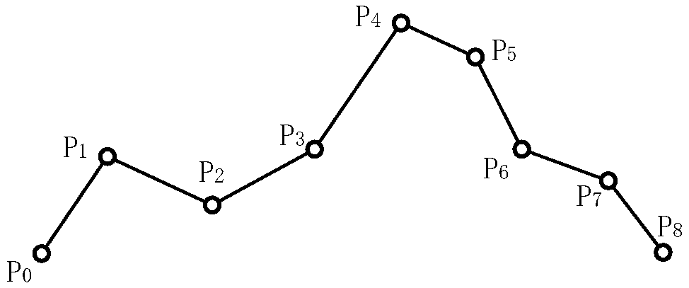
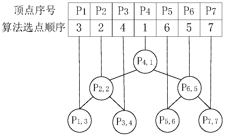
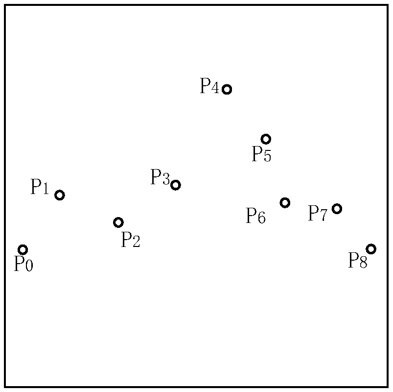
[0122] The original data set used in the present invention comes from the full database export file of the official website of OpenStreetMap, namely Planet.osm, and the global coastline data is exported through the tool software OSMCoastline. The hierarchical structure construction and spatial index structure construction of the global coastline data are realized by using the multi-resolution hierarchical structure algorithm. Based on hierarchical structure and spatial index, set different error values to realize interactive visualization of relational database.
[0123] See Figure 5 and Figure 6, Figure 5(a) is the result of a spatial approximation query with an error of 200 kilometers; Figure 5(b) is the result of a spatial approximation query with an error of 100 kilometers; Figure 6 is the visualization of a spatial approximation query for geographic elements Three-dimensional map.
[0124] By setting different error values, the number of vertices returned and the time ...
PUM
 Abstract
Description
Claims
Application Information