Method for measuring deformation of geotechnical sample through photogrammetry
A technology for photogrammetry and geotechnical testing, applied in the field of geotechnical engineering, which can solve the problems of limited data and waste of time
- Summary
- Abstract
- Description
- Claims
- Application Information
AI Technical Summary
Problems solved by technology
Method used
Image
Examples
Embodiment
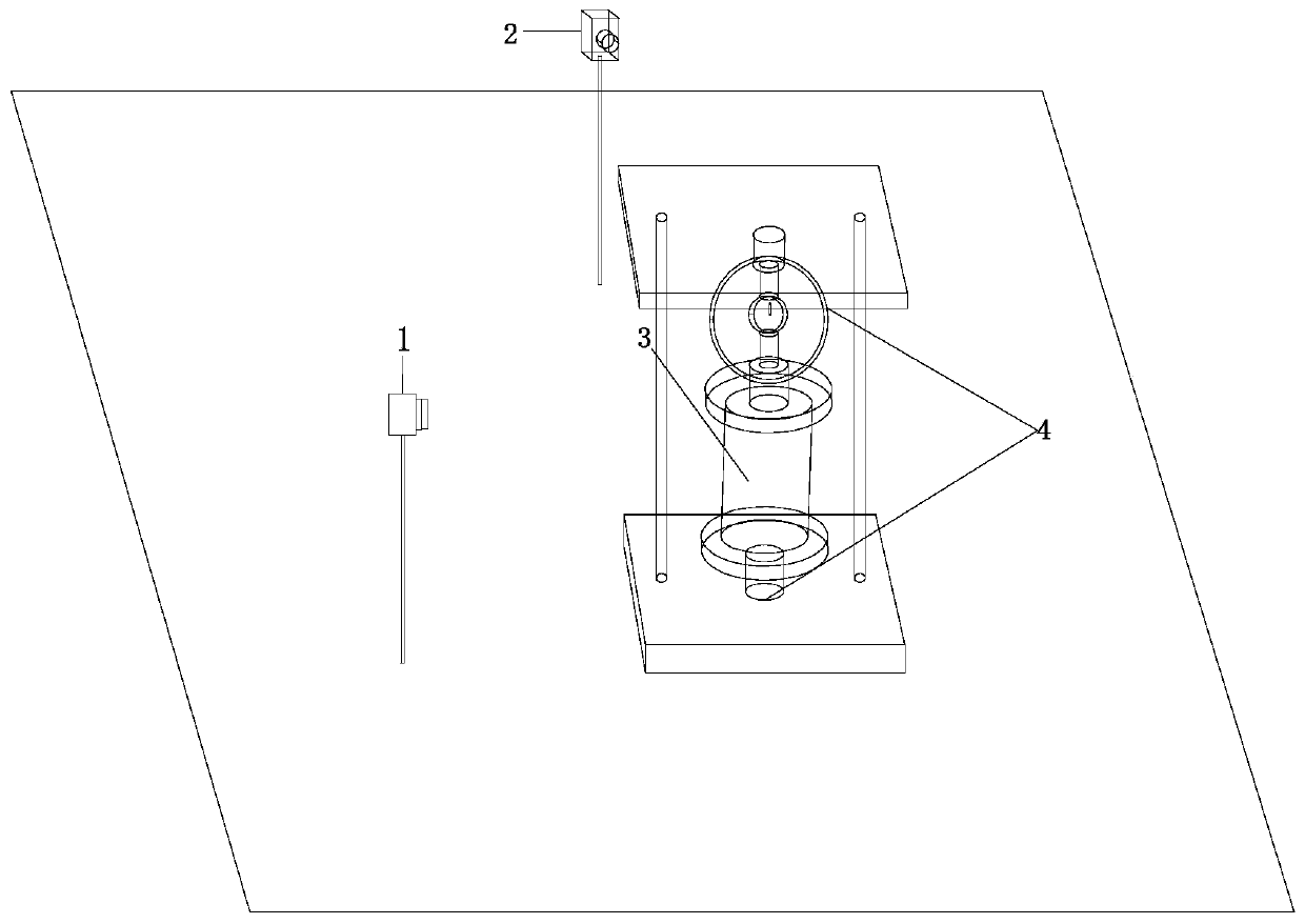
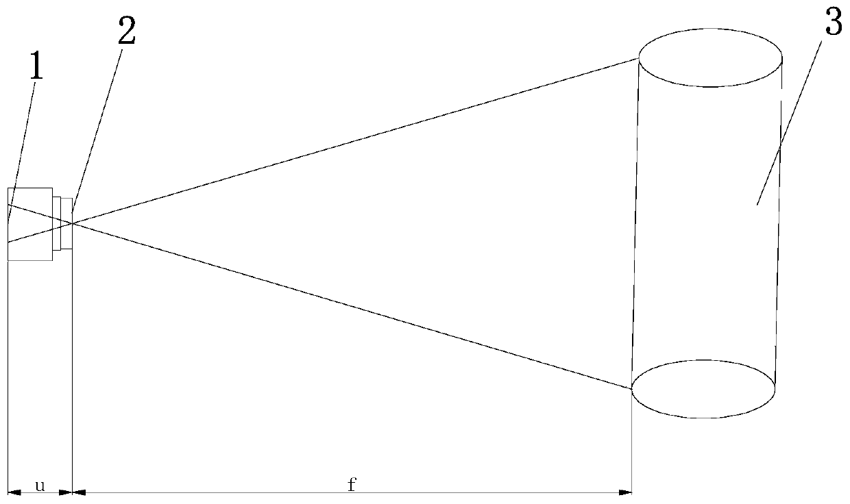
[0043] (1) Before the unconfined compressive strength test starts, measure the height of the test soil sample 3 as h 1 , put the test soil sample 3 into the strain-controlled unconfined compressibility instrument 4, and arrange two in the forward and tangential directions: the first industrial camera 1 and the second industrial camera 2, according to the height h of the test soil sample 3 1 To determine the focal length f and the object distance u, to ensure that the test soil sample 3 can appear completely and clearly in the shooting center, such as figure 1 shown.
[0044] (2) Start testing and shooting, and set a shooting interval of 5 seconds.
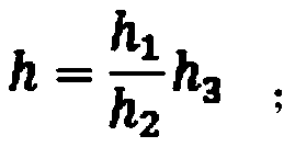
[0045] (3) After the test is completed, the soil sample is taken out, and the obtained photo is imported into the image processing software. After the image processing software analyzes the image, the deformed boundary of the test soil sample 3 is obtained, and the pixels corresponding to the height of the test soil sample 3 are o...
PUM
 Abstract
Description
Claims
Application Information
 - R&D
- Intellectual Property
- Life Sciences
- Materials
- Tech Scout
- Unparalleled Data Quality
- Higher Quality Content
- 60% Fewer Hallucinations
Browse by: Latest US Patents, China's latest patents, Technical Efficacy Thesaurus, Application Domain, Technology Topic, Popular Technical Reports.
© 2025 PatSnap. All rights reserved.Legal|Privacy policy|Modern Slavery Act Transparency Statement|Sitemap|About US| Contact US: help@patsnap.com


