Data assimilation method for estimating space-time continuous surface water heat flux
A data assimilation and heat flux technology, applied in the field of data assimilation, can solve problems such as missing observation data errors
- Summary
- Abstract
- Description
- Claims
- Application Information
AI Technical Summary
Problems solved by technology
Method used
Image
Examples
Embodiment 1
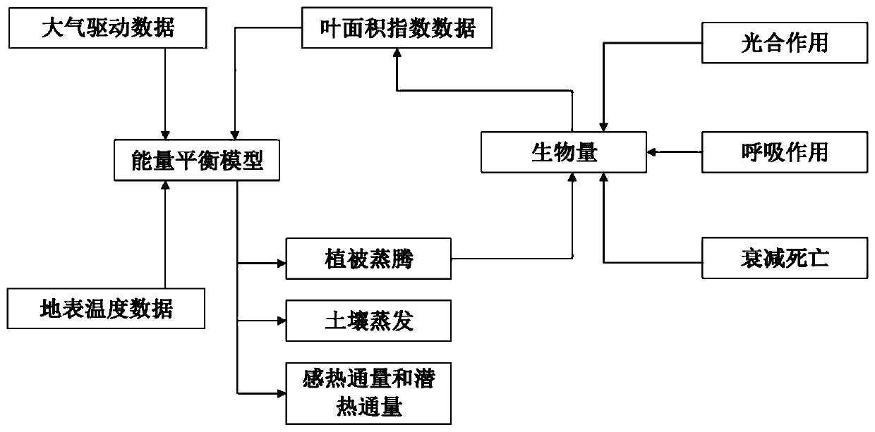
[0092] Data assimilation refers to the method of fusing new observation data during the operation of the numerical model on the basis of considering the temporal and spatial distribution of data and the errors of observation field and background field. The method in the embodiment of the present invention is formally devoted to solving how to optimize the parameters of the remote sensing model by assimilating multi-source remote sensing data, and then realize the spatio-temporal simulation of surface water and heat flux. Generate 1km-resolution space-time continuous area surface water heat flux data set, and promote the wide application of data assimilation method to estimate surface water heat flux in hydrological cycle and land surface energy related fields.
[0093] The embodiment of the present invention constructs a complete remote sensing multi-source data assimilation system for estimating surface water and heat flux. It mainly includes: model operator, observation oper...
Embodiment 2
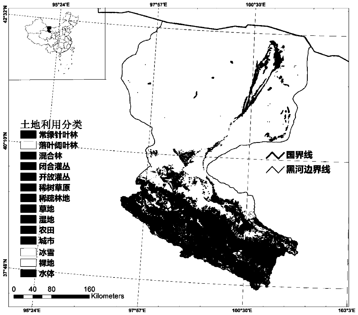
[0156] The Heihe River originates from the Qilian Mountains on the northern edge of the Qinghai-Tibet Plateau and ends in the Juyan Sea. It is the second largest inland river in my country, with an area of about 1.3×10 5 km 2 . The Heihe River Basin is located in the center of the Eurasian continent, far away from the sea, and has a cold and dry climate, which belongs to the typical temperate continental monsoon climate. The climate in the upper reaches is damp and cold, the vegetation is good, the average temperature is lower than 2 degrees, and the annual precipitation is about 350mm. The main land cover types include mountain forests, mountain grasslands, mountain deserts, glaciers and snow cover, etc. farmland etc. The middle reaches are the Hexi Corridor Plain, and the annual precipitation decreases from 250mm in the south to below 100mm in the north. The main land cover types include oasis, oasis-desert transition zone, desert grassland, desert, and residential areas...
PUM
 Abstract
Description
Claims
Application Information
 - R&D
- Intellectual Property
- Life Sciences
- Materials
- Tech Scout
- Unparalleled Data Quality
- Higher Quality Content
- 60% Fewer Hallucinations
Browse by: Latest US Patents, China's latest patents, Technical Efficacy Thesaurus, Application Domain, Technology Topic, Popular Technical Reports.
© 2025 PatSnap. All rights reserved.Legal|Privacy policy|Modern Slavery Act Transparency Statement|Sitemap|About US| Contact US: help@patsnap.com


