

Moving target activity range recording method based on local grid
A technology of moving range and moving target, applied in the field of moving target moving range recording based on local grid, can solve the problems of fixed coding and inaccurate geographical distance of subdivision units, so as to reduce the amount of data storage, the display effect is intuitive, and the improvement is achieved. The effect of query efficiency
- Summary
- Abstract
- Description
- Claims
- Application Information
AI Technical Summary
Problems solved by technology
Method used
Image

Examples
Embodiment Construction
[0058] The present invention is a recording method based on lines of longitude, grid subdivision and encoding of geographic space regions with equal geographical distances to realize the range of moving objects, taking the recording of the range of motion of a flight from Huizhou City, Guangdong Province to Shanghai as an example , the departure time of the flight is 16:33:14, and the arrival time is 18:04:09. The specific implementation steps are as follows:
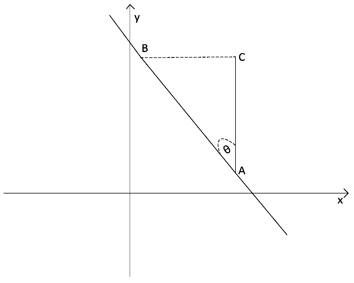
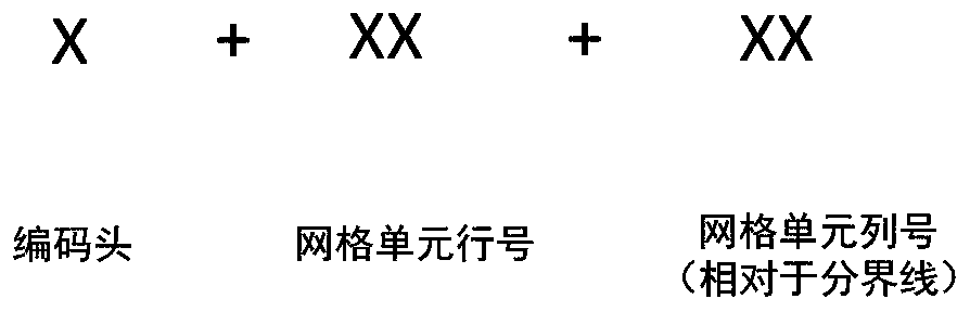
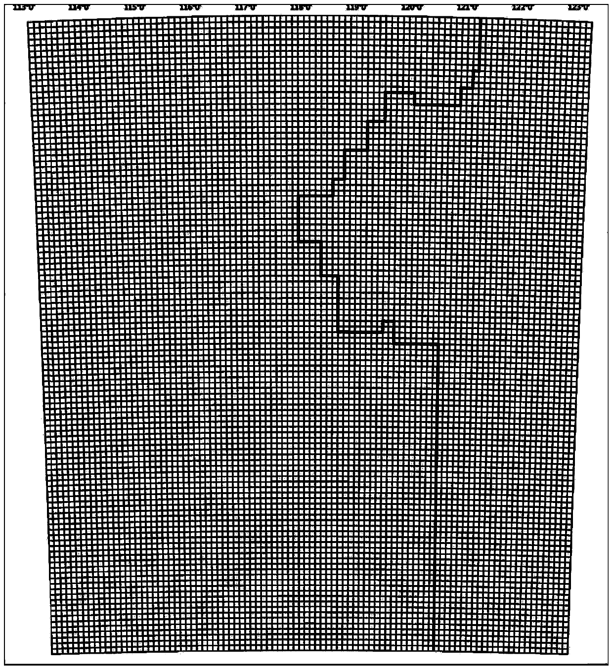
[0059] Step 1: Build an isometric initial grid. Select the WGS84 geographic coordinate system, Lambert projection (double standard parallels) is the projection type, the parallels under this projection are concentric arcs, and the meridian projection is a bunch of straight lines intersecting at the apex of the cone. First determine the geographical space range to be divided, the starting position G of the moving target activity area 1 The coordinates are (Lng G1 ,Lat G1 ), end position G 2 The coordinates are (Lng ...
PUM
 Abstract
Description
Claims
Application Information