
Detecting underground structures

A geological and stratigraphic technology, used in surveying, seismology for logging, seismology, etc., can solve problems such as inability to deal with near-surface complexity

Active Publication Date: 2021-09-24
SAUDI ARABIAN OIL CO
View PDF8 Cites 0 Cited by
  • Summary
  • Abstract
  • Description
  • Claims
  • Application Information

AI Technical Summary

Problems solved by technology

However, these methods are often unable to handle all the near-surface complexities typical of certain environments, especially the inversion of seismic wave velocity with depth

Method used


Image

  • Detecting underground structures
  • Detecting underground structures
  • Detecting underground structures

Examples


Embodiment Construction

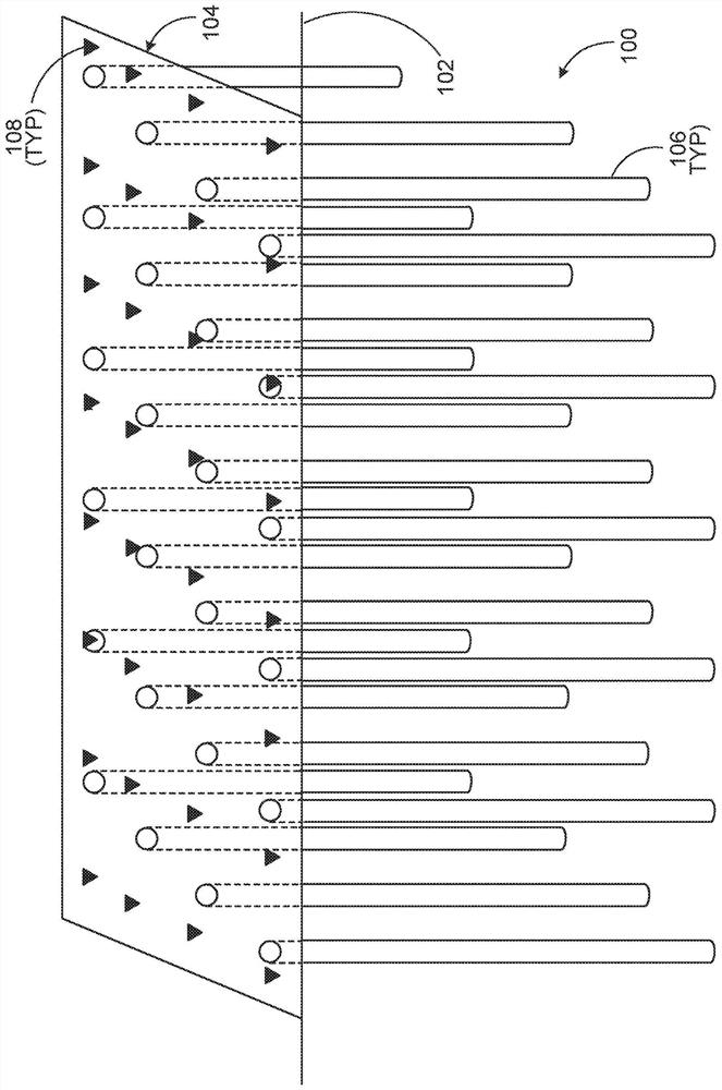
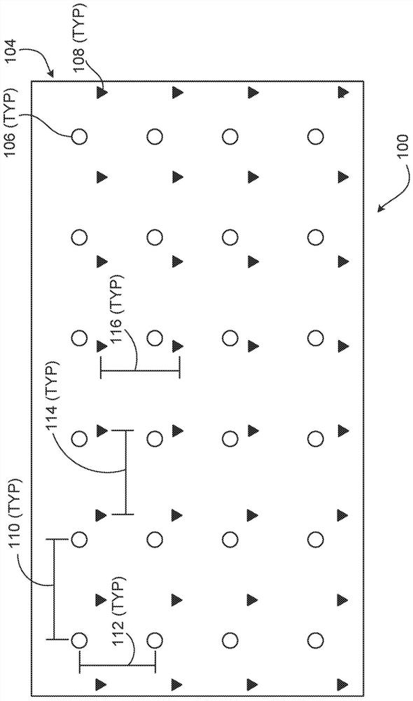
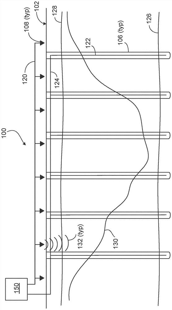
[0070] The present disclosure describes implementations of seismic data acquisition and processing systems, methods, and computer-readable media for detecting and determining subsurface structures (eg, low relief hydrocarbon reservoir structures). In some aspects, a seismic data acquisition and processing system includes one or more acoustic sources positioned on the surface and one or more acoustic sensors positioned in a borehole formed from the surface to one or more subsurface regions. In some aspects, the acoustic sensors are used in or include a distributed acoustic sensing (DAS) system within a borehole, which may be formed at specified intervals over a region of interest. In some aspects, the depth of the borehole may be sufficient (and selected) to reach a particular reference seismic datum at a depth below the surface and below, for example, the depth of any complex near-surface formations. depth.

[0071] In an example implementation, an acoustic source is utilized...


PUM


Abstract

A geological survey system includes a plurality of sound sources spaced at intervals over a target area of ​​the earth's surface. Each acoustic sensor of the plurality of acoustic sensors is configured to generate seismic energy waves. The system also includes a plurality of acoustic sensors positioned in a plurality of boreholes formed in the geological formation, wherein the boreholes are deep enough to reach a geological reference. The system also includes a control system communicatively coupled to the plurality of acoustic sensors and configured to perform operations comprising: receiving from the plurality of acoustic sensors and generated by the plurality of sound sources and data associated with the reflected acoustic signal received by the acoustic sensor; determining a subsurface topology of the geological formation based on the received data; and generating a subsurface model of the geological formation based on the determined subsurface topology.

Description

[0001] priority statement [0002] This application claims priority to U.S. Provisional Patent Application No. 62 / 513,822, entitled "Detecting Sub-Terranean Structures," filed June 1, 2017, the entire contents of which are incorporated herein by reference. technical field [0003] The present specification relates to detecting subsurface structures, and more particularly, to detecting low relief subsurface structures through seismic data acquisition and processing. Background technique [0004] Near-surface complexities (eg, harsh terrain, sand dunes, dry riverbeds, and karst landforms) can severely corrupt seismic data acquired in certain environments. This complexity can generally be accounted for by temporal imaging that causes vertical travel time changes and shifts the recorded traces to a reference level. The applied time shift is constant for each trace and is called static correction. The complex near-surface component can also be more accurately processed by depth...

Claims


Application Information

Patent Timeline
Patent Type & Authority Patents(China)
IPC IPC(8): G01V1/42
CPCE21B47/14G01V1/003G01V1/284G01V1/301G01V1/42G01V1/46E21B47/095
Inventor 安德烈·巴库林帕威尔·戈里可夫伊利娅·西尔韦斯特罗夫
Owner SAUDI ARABIAN OIL CO
Learn More