Land type classification method based on multi-source territorial resource data

A technology of type classification and land resources, applied in the field of physical geography, it can solve the problems of lack of comprehensiveness, weakening, and the timeliness of results due to workload limitations, and achieve the goal of improving timeliness and accuracy, stable and reliable results, and improving timeliness. Effect

Active Publication Date: 2020-04-24
NANJING UNIV
View PDF2 Cites 8 Cited by
  • Summary
  • Abstract
  • Description
  • Claims
  • Application Information

AI Technical Summary

Problems solved by technology

[0003] Traditional land type classification research is mostly based on field surveys, focusing on the classification of comprehensive physical and geographical elements (such as terrain, climate, vegetation, etc.), but the huge workload limits the timeliness of the results, making the classification results unable to be...

Method used


Image

  • Land type classification method based on multi-source territorial resource data
  • Land type classification method based on multi-source territorial resource data
  • Land type classification method based on multi-source territorial resource data

Examples


Embodiment

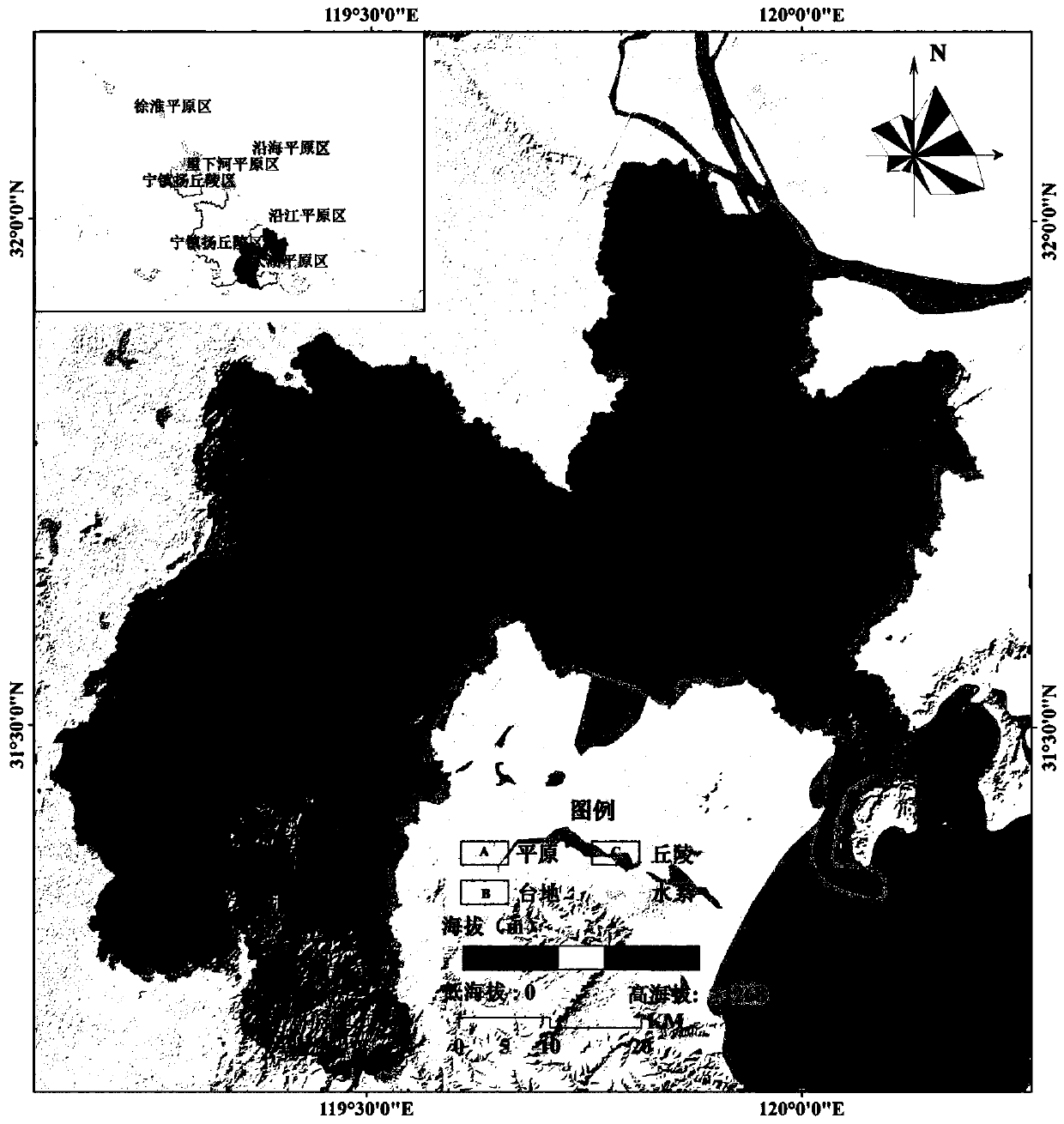
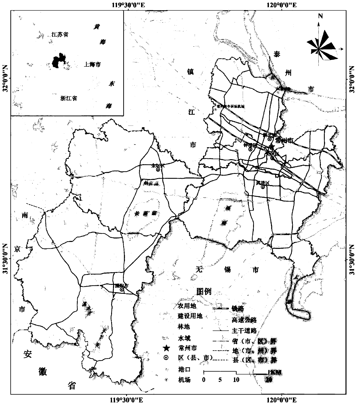
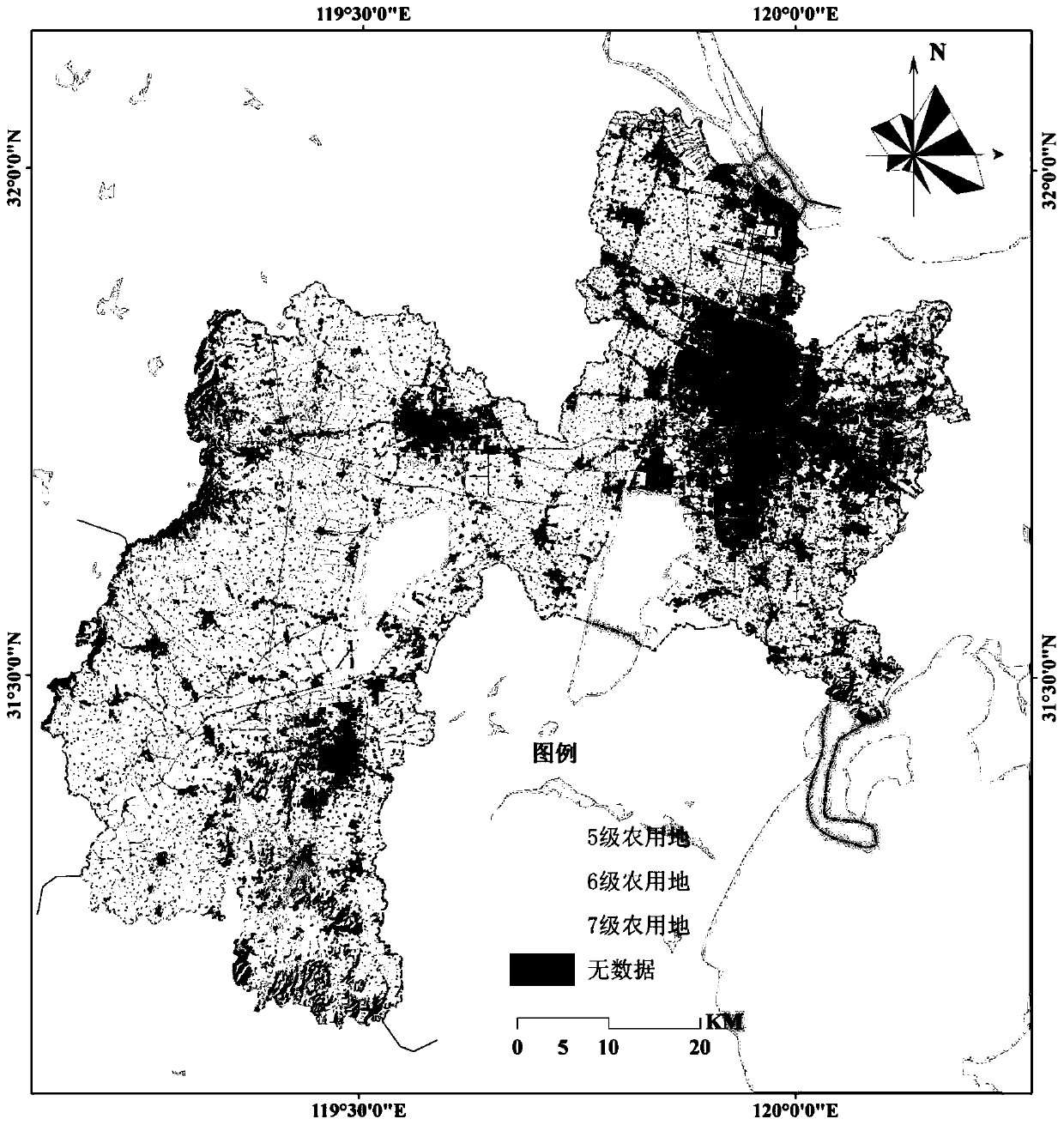
[0027] In this embodiment, Changzhou City is taken as an example, that is, Changzhou City is used as an area to be classified, and the present invention is further described in conjunction with the accompanying drawings.

[0028] The land resources data used in this example include the "China 1:1000000 Land Type Map Drawing Specification", the second national soil census data, land use status classification data based on national standards (GB / T 21010-2007) and national Cultivated land quality grading and grading data of the classification standard (GBT 28407-2012), etc. The above data are public data and can be obtained through effective means.

[0029] This embodiment is based on the classification system and principles of "China's 1:1,000,000 Land Type Map Drawing Specification". The land type classification system includes climate type, landform type, soil type, and vegetation type. Because the climate type shows greater homogeneity on a scale of 1:100,000, it is expresse...


PUM


Abstract

The invention relates to a land type classification method based on multi-source territorial resource data. According to the method, multi-source data such as second national soil general survey, landutilization status survey, geographic national condition general survey and internet data are used, attribute indexes of landform types, soil types, land utilization types, land utilization intensityand the like reflecting land resource comprehensive characteristics are fused, a mesoscale land type classification system is constructed, and a classification result verification method system integrating typical verification and layered verification is provided. The invention aims to improve the efficiency and practicability of land type research, realize accurate classification of land resource comprehensive information, and meet the important strategic application requirements of national land resource investigation, geographic national condition general investigation and the like.

Description

technical field [0001] The invention relates to a land type classification method based on multi-source land resource data, belonging to the technical field of physical geography. Background technique [0002] Land is a comprehensive system that constantly interacts with the surrounding natural and human environment in terms of matter and energy. Affected by this, various elements in the land system differentiate and succeed, and then show differences in land appearance and function. The study of land types is an effective means to explore the comprehensive geographical characteristics of the region. It can reveal the basic characteristics of the formation, characteristics, differentiation, and succession of land complexes, and can directly reflect the comprehensive attribute information of land resources. The control of all types of land and space use in the whole area has great practical value. The construction of land type classification system is the foundation of land...

Claims


Application Information

Patent Timeline
IPC IPC(8): G06K9/62G06F16/29G06Q50/26
CPCG06F16/29G06Q50/26G06F18/23213G06F18/241
Inventor 李满春姜朋辉高宇杨琳周成虎周琛黄秋昊陈振杰李飞雪
Owner NANJING UNIV
Why Eureka
Try Eureka