Natural protected area protection vacancy analysis method and system
An analysis method and vacant technology, applied in geographic information databases, structured data retrieval, resources, etc., can solve the problems of overlapping and overlapping natural protected areas, reduce fragmented protected areas, easy to operate, and have huge economic and environmental benefits Effect
- Summary
- Abstract
- Description
- Claims
- Application Information
AI Technical Summary
Problems solved by technology
Method used
Image
Examples
Embodiment 1
[0061] Example 1 Analysis of protection gaps in the surrounding areas of nature reserves
[0062] When analyzing the surrounding areas of nature reserves, remote sensing images with a resolution higher than 1 meter are used, such as the Gaofen-2 product. Through the buffer analysis, the boundary of the protected area is expanded by 5 kilometers, and the physical environment evaluation, biological environment evaluation and interference factor evaluation are carried out in sub-blocks within the 5 km range. Iterate successively until the surrounding area of the protected area does not meet the requirements of being included in the protected area, as follows:
[0063] 1. Physical environment assessment
[0064] The present invention evaluates the physical environment of the surrounding area of the nature reserve based on the spatial connection, for example, the spatial correlation between the nature reserve and its surrounding similar ecosystems.
[0065] The present invent...
Embodiment 2
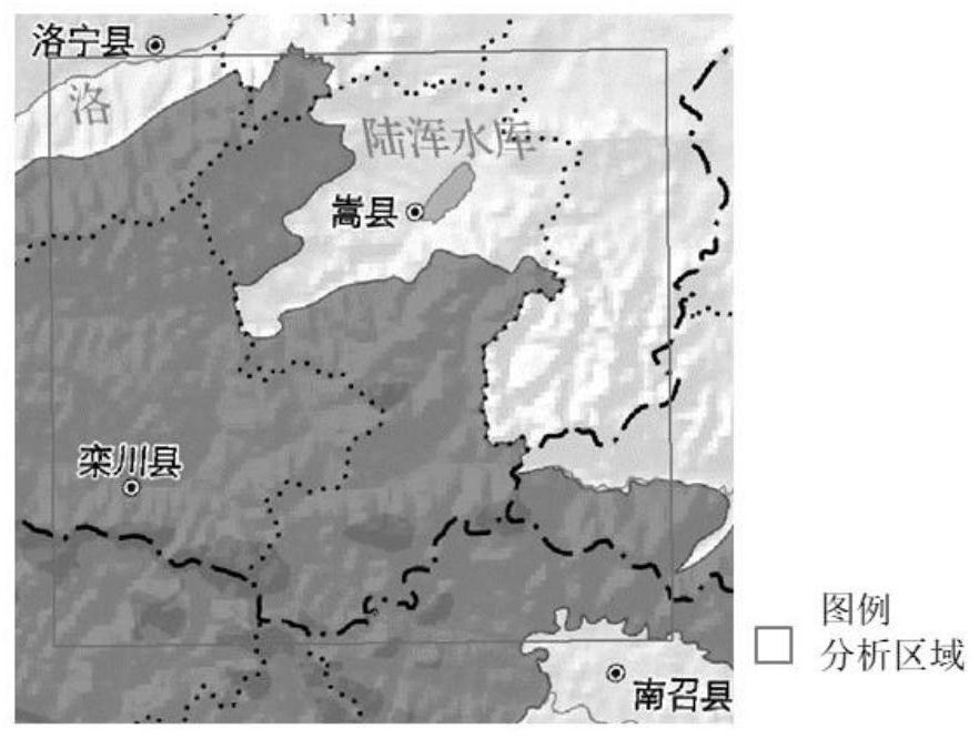
[0078] Embodiment 2 Analysis of protection vacancies in the target area
[0079] 1. Regional scale macro analysis
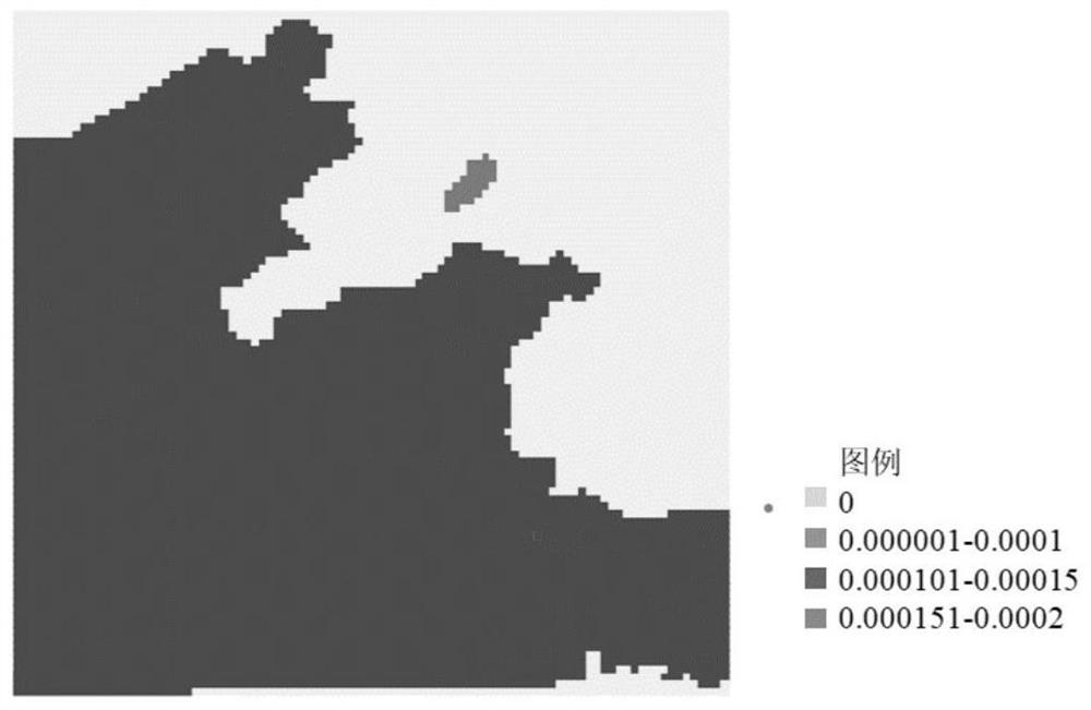
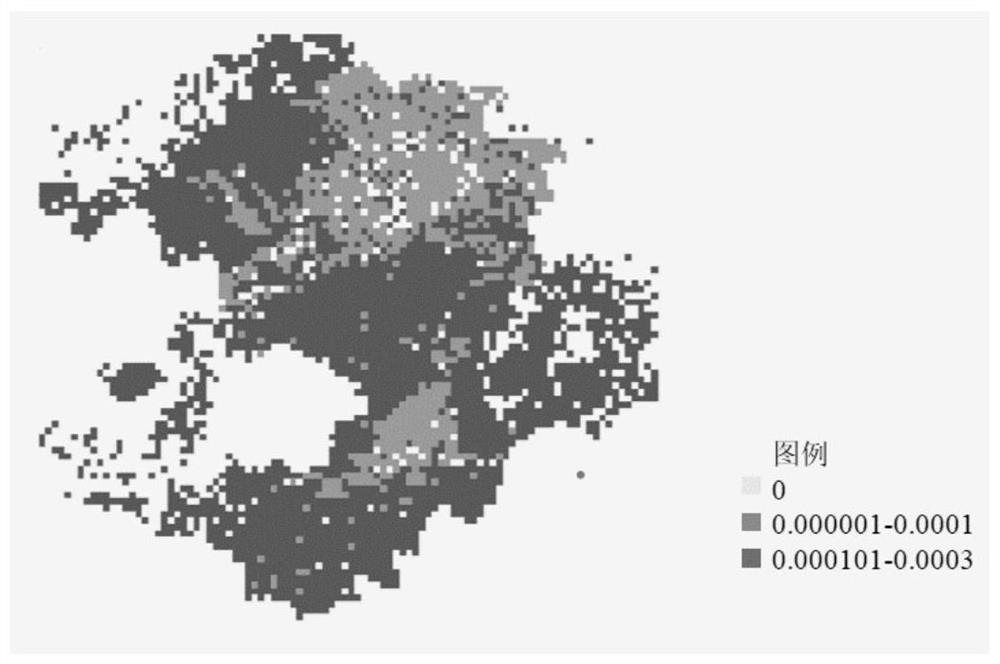
[0080] Use remote sensing images with a resolution of 30 meters, such as Landsat8 products. Carry out ecosystem and natural resource assessment, biodiversity assessment and ecosystem service value assessment for the target area.
[0081] 1.1 Ecosystem and natural resource assessment
[0082] Consider the typicality, pristineness and fragility of ecosystems and natural resources. Joint evaluation using reference layer and calculation layer.
[0083] The reference layers are mainly geological and geomorphic maps, climate maps, soil maps, vegetation maps, etc. in the region, which are generated into raster layers with the same resolution as remote sensing images;
[0084] The calculation layers are mainly survey data such as geological relics, paleontological relics, fossils, typical climate (climate landscape), vegetation, and regional distribution maps of wate...
PUM
 Abstract
Description
Claims
Application Information
 - R&D
- Intellectual Property
- Life Sciences
- Materials
- Tech Scout
- Unparalleled Data Quality
- Higher Quality Content
- 60% Fewer Hallucinations
Browse by: Latest US Patents, China's latest patents, Technical Efficacy Thesaurus, Application Domain, Technology Topic, Popular Technical Reports.
© 2025 PatSnap. All rights reserved.Legal|Privacy policy|Modern Slavery Act Transparency Statement|Sitemap|About US| Contact US: help@patsnap.com


