

Flywheel rotating speed optimization method in remote sensing satellite imaging period
An optimization method and technology of remote sensing satellites, applied in the field of aerospace, can solve problems such as unstable attitude and low flywheel, and achieve the effect of avoiding severe shaking of attitude
- Summary
- Abstract
- Description
- Claims
- Application Information
AI Technical Summary
Problems solved by technology
Method used
Image

Examples
specific Embodiment 1
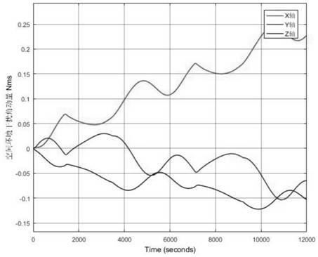
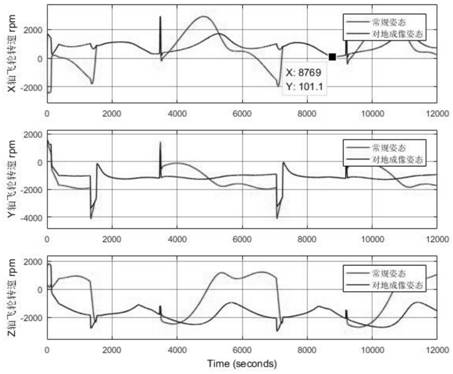
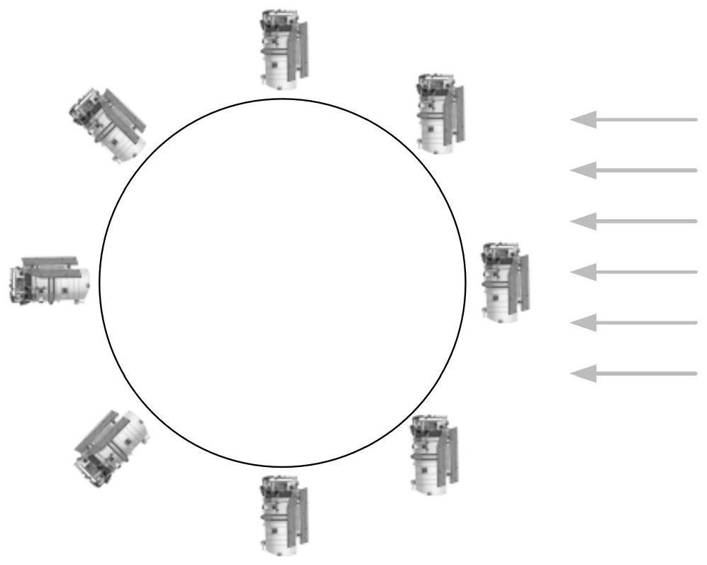
[0045] according to Figure 1 to Figure 6 As shown, the specific optimization technical scheme adopted by the present invention for solving the above-mentioned technical problems is: a method for optimizing flywheel speed during remote sensing satellite imaging, comprising the following steps:
[0046] Step 1: Establish satellite body coordinate system, including satellite body coordinate system, orbital coordinate system, desired coordinate system, sun-aligning coordinate system, and earth inertial coordinate system J2000;
[0047] The step 1 is specifically:
[0048] Establish the satellite body coordinate system. The satellite body coordinate system refers to the ObXbYbZb rectangular coordinate system fixed to the satellite. The coordinate origin Ob is at the center of mass of the satellite. The +X axis is in the same direction as the satellite’s flight direction, and the +Z axis is perpendicular to the satellite docking ring and The docking surface of the transition secti...
PUM
 Abstract
Description
Claims
Application Information