Urban topographic surveying and mapping method based on Internet of Things

A technology of topographic surveying and mapping and the Internet of Things, which is applied in surveying and navigation, measuring devices, cross-section depiction, etc. The effect of overcoming the difficulty of processing large amounts of data

Inactive Publication Date: 2022-05-31
山东省国土测绘院
View PDF0 Cites 0 Cited by
  • Summary
  • Abstract
  • Description
  • Claims
  • Application Information

AI Technical Summary

Problems solved by technology

[0003] However, in the current information-based surveying and mapping, on the one hand, when splicing images, it is often required that the overlap rate of the two images is above 60%, or the computer algorithm is used to extract the features of the images and splicing according to the coincidence of the coordinates of the same features. When the surveying and mapping range is large, factors such as different surveying and mapping heights and camera viewing angles affect the actual surveying and mapping accuracy, and the amount of data generated is large, which puts a lot of pressure on data transmission and processing. Therefore, how to simplify the surveying and mapping workload while ensuring the obtained images Maintaining higher accuracy is a question worth thinking about

Method used


Image

  • Urban topographic surveying and mapping method based on Internet of Things
  • Urban topographic surveying and mapping method based on Internet of Things
  • Urban topographic surveying and mapping method based on Internet of Things

Examples


Embodiment Construction

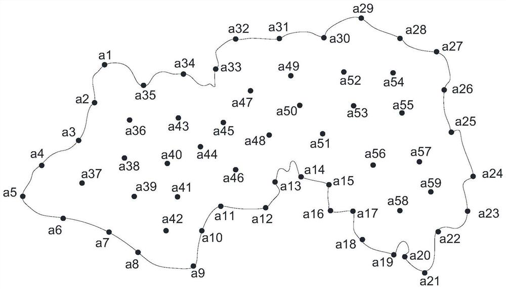
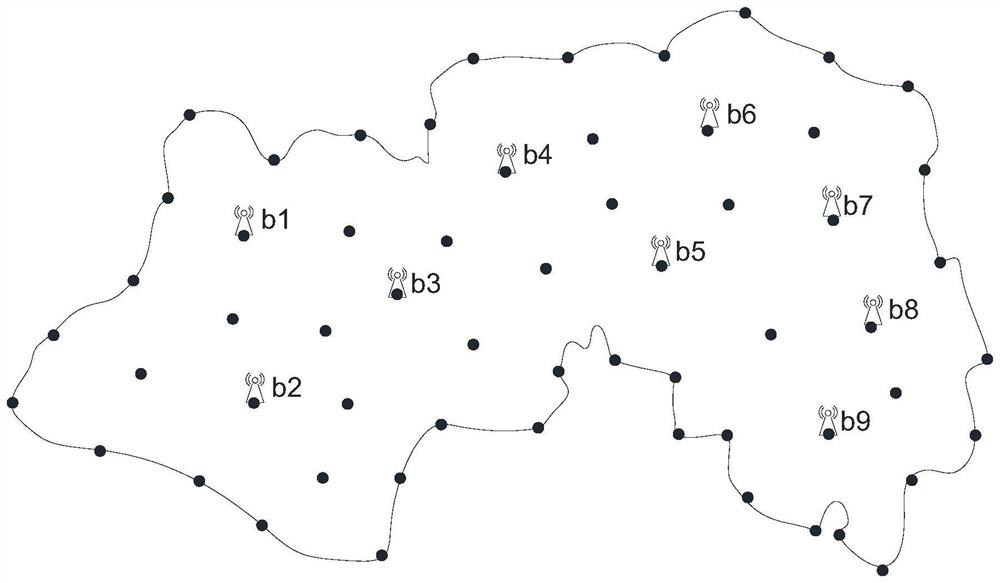
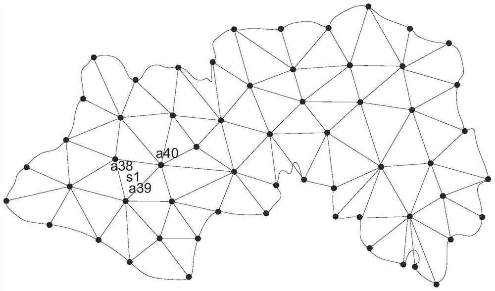
[0024] Embodiments of the present invention are described in detail below, examples of which are shown in the drawings, wherein the same or similar reference numerals designate the same or similar elements or elements having the same or similar functions throughout. The embodiments described below by referring to the figures are exemplary only for explaining the present invention and should not be construed as limiting the present invention.

[0025] In describing the present invention, it should be understood that the terms "center", "longitudinal", "transverse", "upper", "lower", "front", "rear", "left", "right", " The orientations or positional relationships indicated by "top", "bottom", "inner" and "outer" are simplified descriptions, rather than indicating or implying that the referred device or element must have a specific orientation, be constructed and operated in a specific orientation, Therefore, it should not be construed as limiting the invention. In addition, the...


PUM


Abstract

According to the urban topographic surveying and mapping method based on the Internet of Things, reference points convenient for stepping are selected to divide an urban area plan into a plurality of small areas by means of actual topographic factors such as roads, small roads for walking in mountain forests and the like, then topographic surveying and mapping are carried out on the small areas from division to total on the basis of the Internet of Things technology, image processing is convenient, and the urban topographic surveying and mapping efficiency is improved. The equipment cost is low, field surveying and mapping work is simple, short-distance and small-range flight surveying and mapping are carried out based on unmanned aerial vehicle operation, professional aviation equipment such as airplanes does not need to be used, surveying and mapping cost and operation convenience are greatly reduced, surveying and mapping routes and surveying and mapping data volumes of surveying and mapping pictures of all small areas can be adjusted in real time according to the actual terrain complexity, and the surveying and mapping efficiency is improved. And the accuracy of final drawing is improved.

Description

technical field [0001] The invention belongs to the technical field of terrain surveying and mapping, and in particular relates to a method for urban terrain surveying and mapping based on the Internet of Things. Background technique [0002] Urban topographic surveying and mapping is the basic technical data necessary for urban planning and municipal engineering design, and it is also a surveying and mapping project with large capital investment. With the application of global satellite positioning system and the development of computer technology and network technology, surveying and mapping technology is also developing in the direction of digitization, networking and convenience. Based on airborne LiDAR, camera There are more and more surveying and mapping applications integrating satellite positioning. [0003] However, in the current information-based surveying and mapping, on the one hand, when splicing images, it is often required that the overlap rate of the two im...

Claims


Application Information

Patent Timeline
Patent Type & Authority Applications(China)
IPC IPC(8): G01C7/02G01S13/88G01S13/89
CPCG01C7/02G01S13/885G01S13/89Y02A30/60
Inventor 孔昭龙王静范维锋
Owner 山东省国土测绘院
Why Eureka
Try Eureka