
Method for Determination of Stand Attributes and a Computer Program for Performing the Method
a computer program and attribute technology, applied in the field of forest inventory and attribute determination, can solve problems such as the amount of dense laser pulses
Patent Information
- Authority / Receiving Office
- US · United States
- Patent Type
- Applications(United States)
- Current Assignee / Owner
- Publication Date
- 2008-10-23
Smart Images
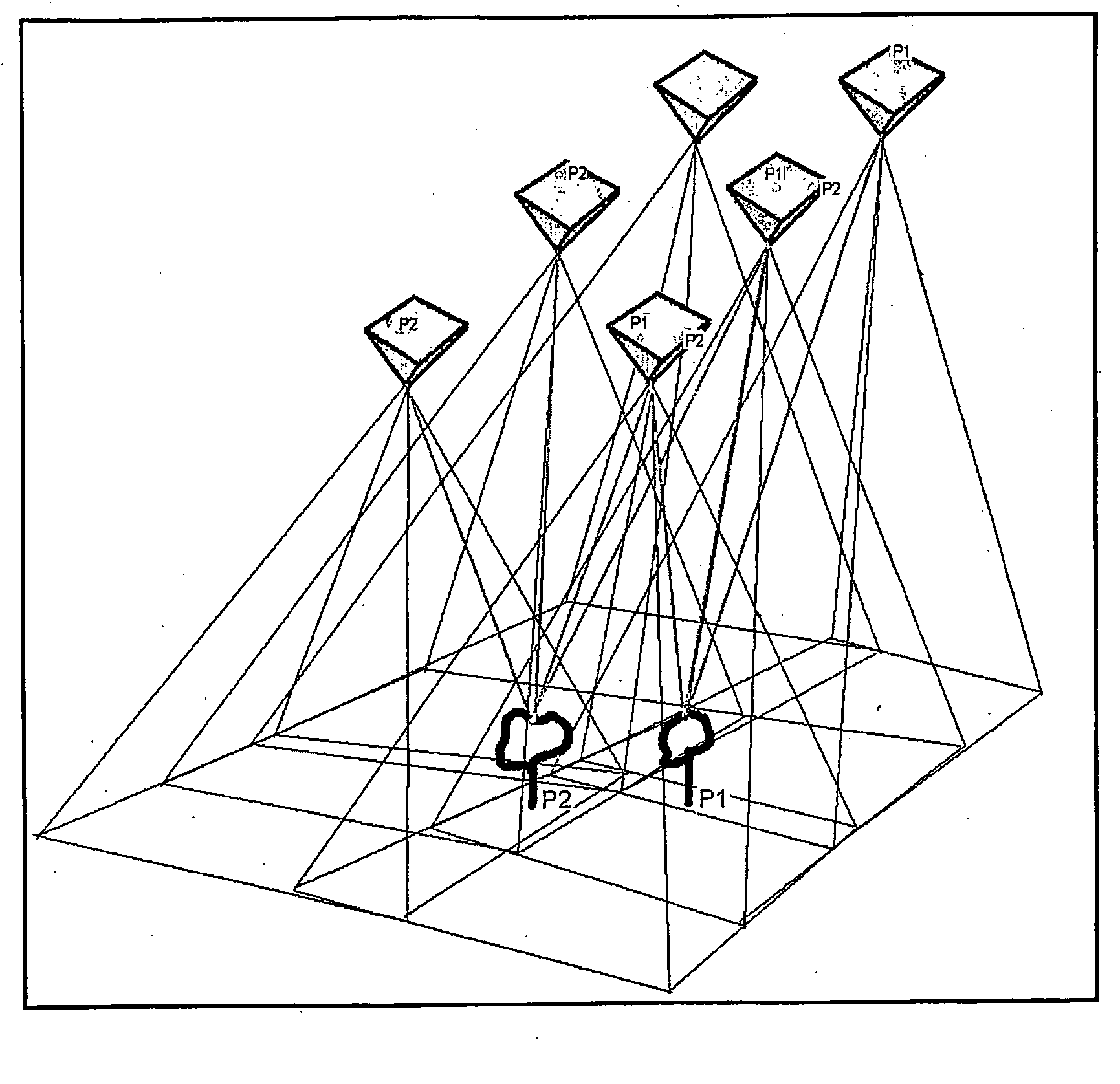
Figure 1 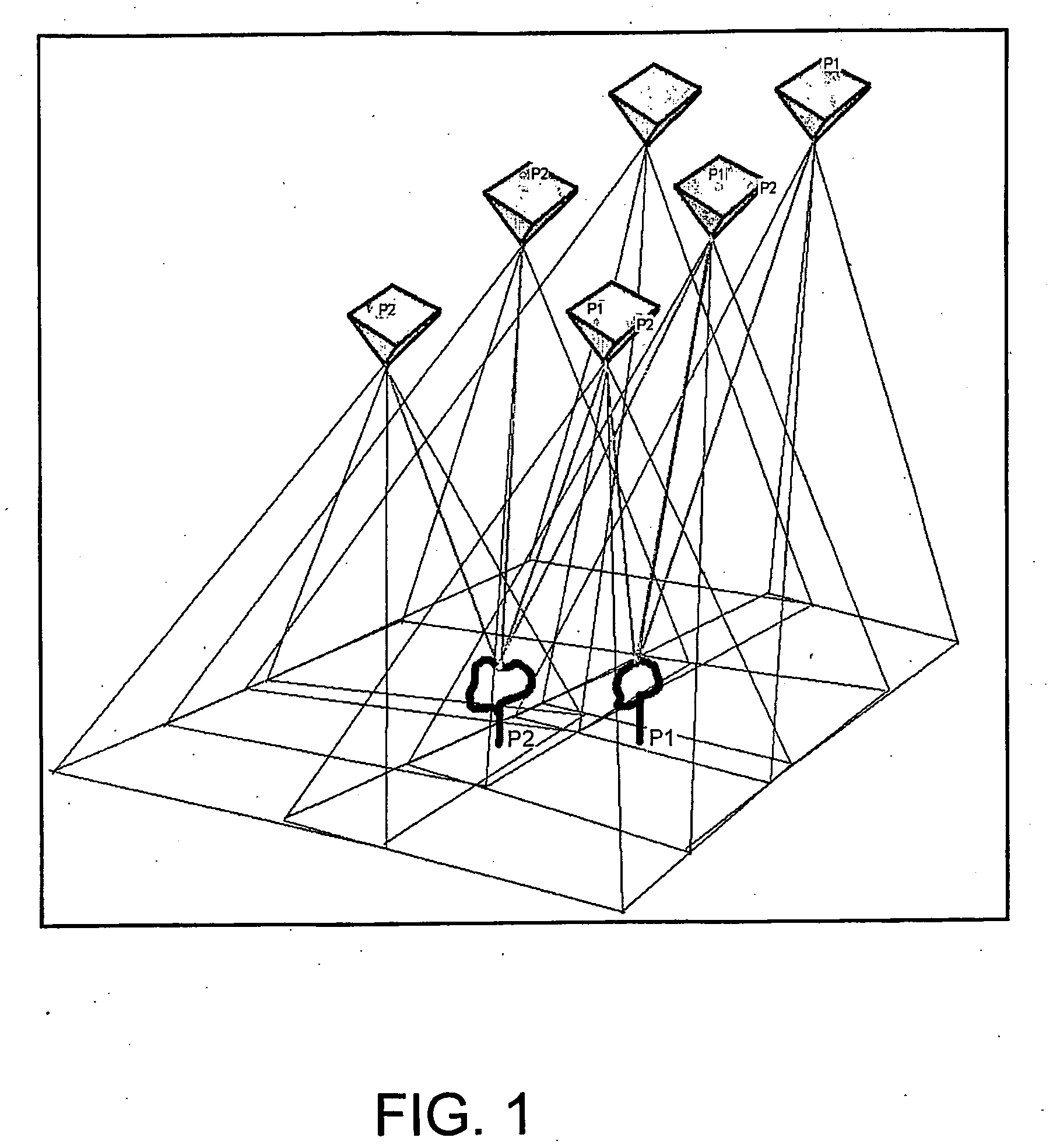
Figure 2 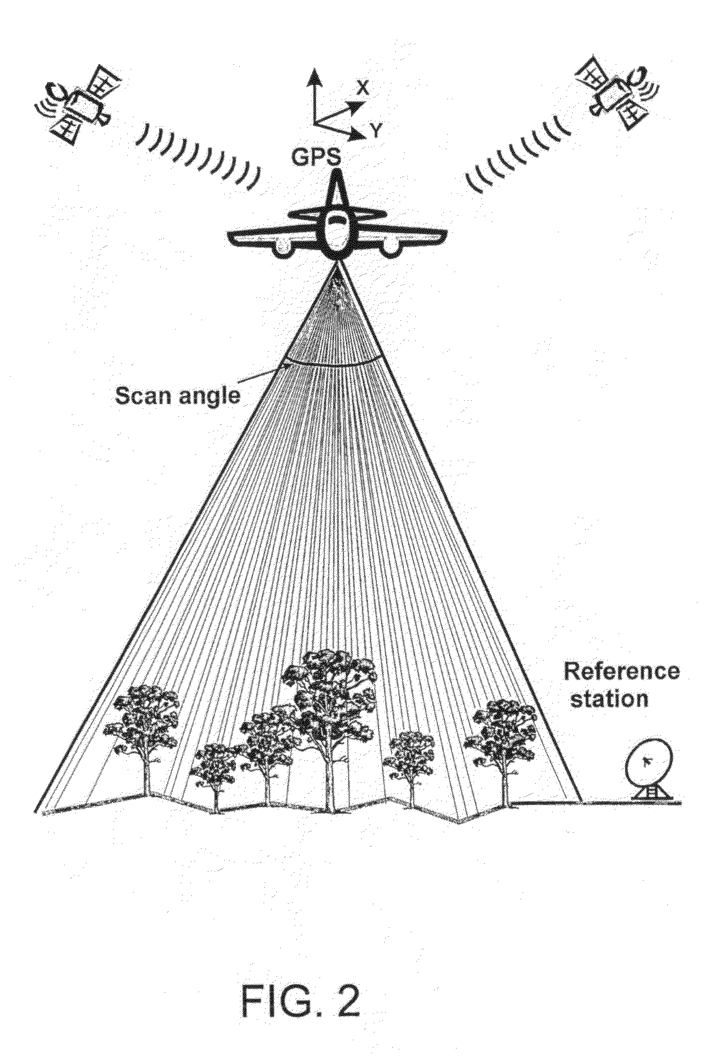
Figure 3
Abstract
Description
TECHNICAL FIELD
[0001] The invention is concerned with a method for forest inventory and determination of stand attributes. With the method, stand attributes of individual trees, sample plots, stands or larger forest areas can be determined by measuring or deriving the most important attributes of individual trees. The invention is also concerned with a computer program for performing the method.BACKGROUND ART
[0002] Conventional forest inventory is still mostly based on field measurements. E.g. forest inventory at stand level, in which the forest is first divided into almost homogeneous compartments (typically of the size of 1-3 hectares), is presently based on plot measurement and visual observations. Aerial photographs and orthophotos (aerial images rectified to map projection) are generally used for the determination of stand boundaries and the walking route in the forest, but stand attributes, such as the volume (m3 / ha), basal area (m2 / ha, depicts the cross-sectional area per hecta...
Examples
Embodiment Construction
Performing of Laser Scanning and Production of a High Resolution Aerial Image Block from the Forest Area
[0040]FIGS. 1 and 2 present a general view of the measuring situation in the method. Both the laser measurement and the aerial photography are performed from a flying platform (an air plane, a helicopter, an unmanned aircraft, a remotely piloted aerial vehicle) above the stand. Of these, an airplane is for the time being the best vehicle for flat areas, a helicopter on mountain areas and the cheapest one is an automatically controlled unmanned aircraft or remotely piloted aerial vehicle. The devices (the laser scanner and the camera for taking aerial images) can either be in the flying vehicle taking simultaneous images or the fights can be done at different times. The advantage with doing the measurements at the same time is that the materials can be georeferenced with the same GPS / IMU observations and they are also otherwise geometrically closer to each other. Also the flight co...