Method of determining boundary interface changes in a natural resource deposit
a natural resource and boundary interface technology, applied in seismology for waterlogging, instruments, reradiation, etc., can solve the problems of reducing recovery efficiency and identification of boundary or interfaces
- Summary
- Abstract
- Description
- Claims
- Application Information
AI Technical Summary
Benefits of technology
Problems solved by technology
Method used
Image
Examples
Embodiment Construction
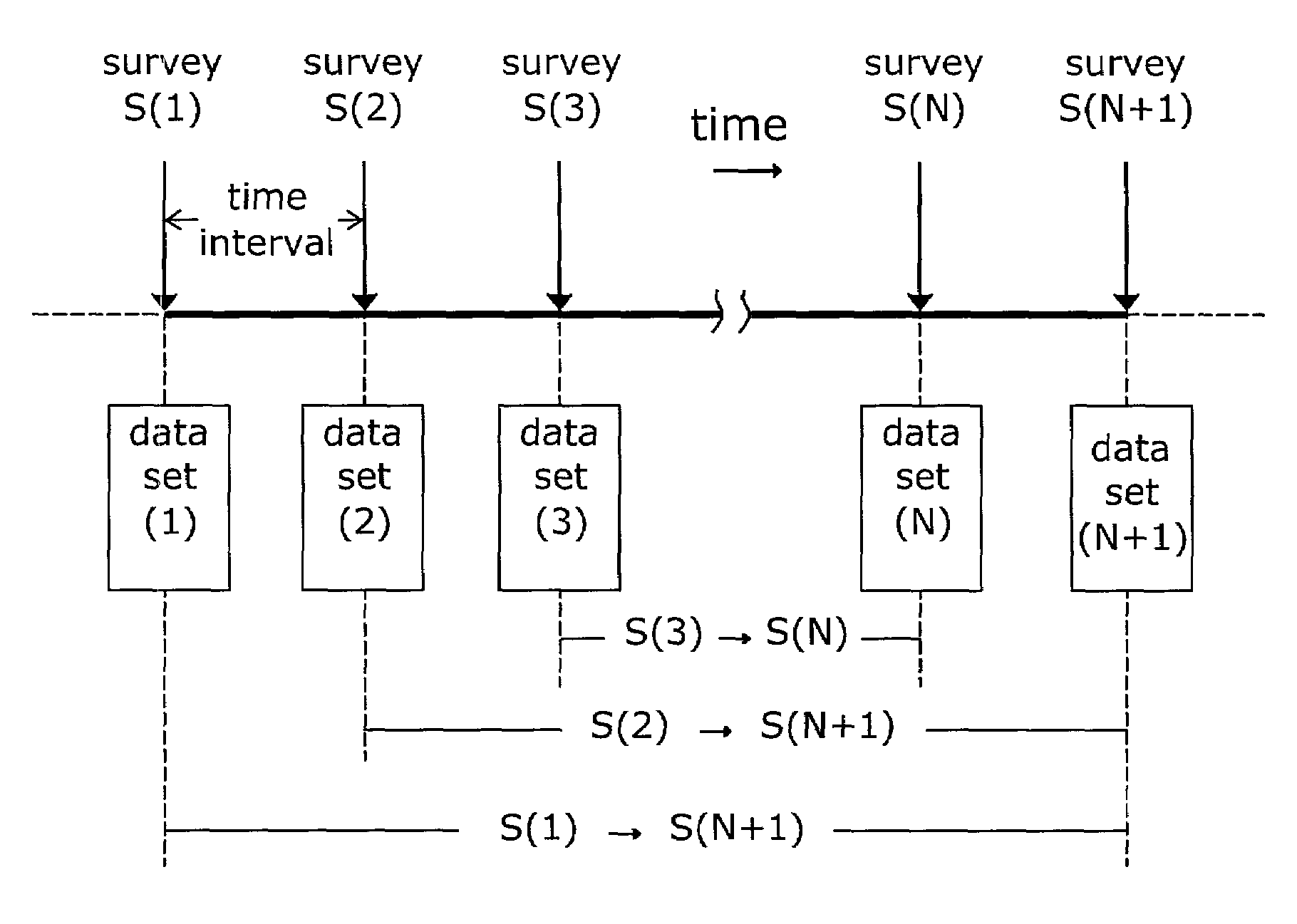
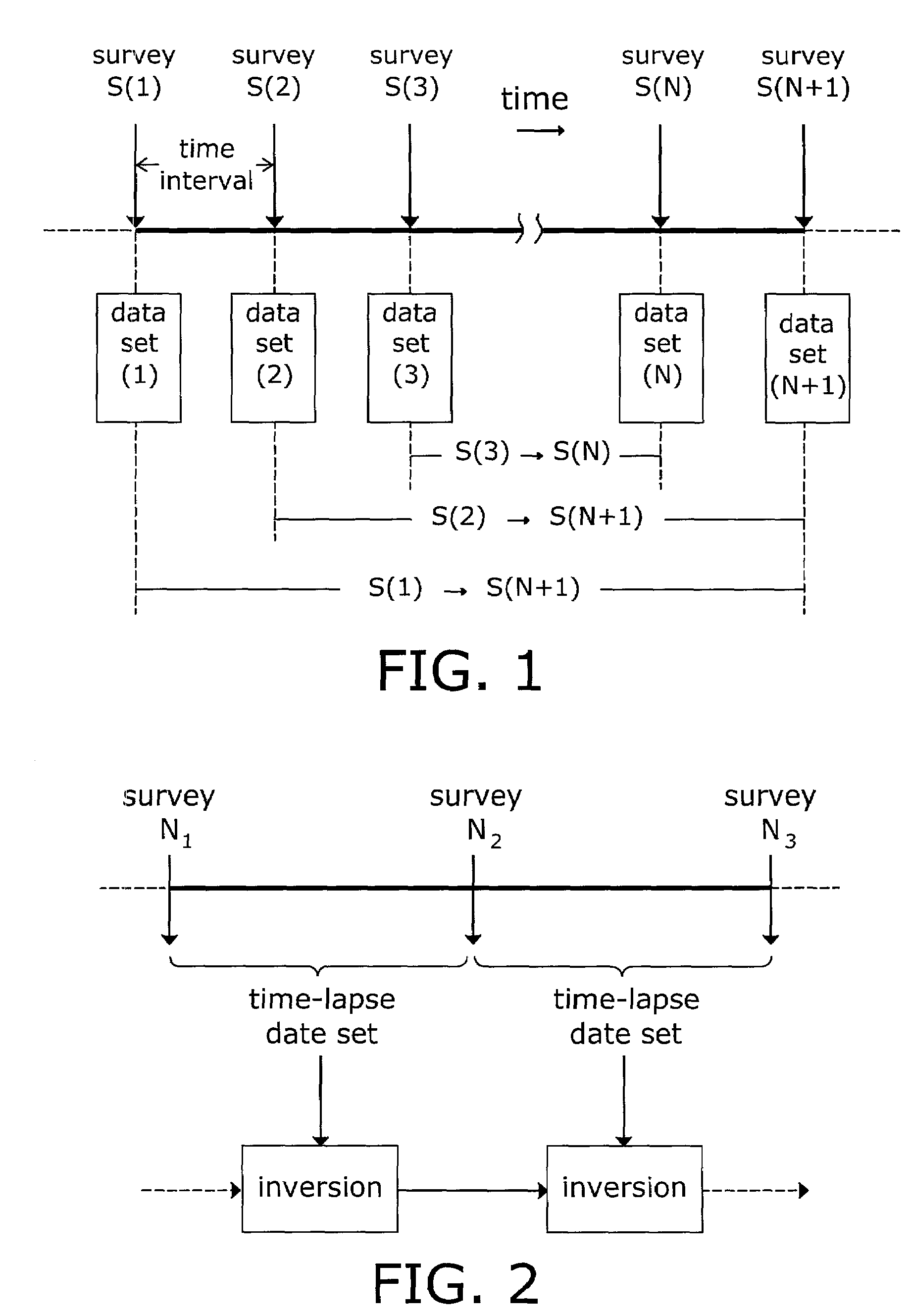
[0029]In the preferred embodiment, the present invention is utilized in the context of plural time-separated sets of gravity gradiometer measurements taken relative to an oil reservoir undergoing secondary oil recovery consequent to the injection of steam, hot water, and / or other fluids via injection wells to cause the injected fluid to drive the oil toward and to an output well or wells. In general, a number of observation points are established on the oil field under survey; it is important that the location of the observation points be fixed for the period of the first and subsequent surveys. A gravity gradiometer, as described in the aforementioned commonly assigned U.S. Pat. No. 6,152,226 (incorporated herein by reference), is located at a first observation point. The gravity gradiometer then takes data at the observation station for some period of time sufficient to insure the reliability of gravity gradient data. Thereafter, the gravity gradiometer is moved to the next succes...
PUM
 Abstract
Description
Claims
Application Information
 - R&D
- Intellectual Property
- Life Sciences
- Materials
- Tech Scout
- Unparalleled Data Quality
- Higher Quality Content
- 60% Fewer Hallucinations
Browse by: Latest US Patents, China's latest patents, Technical Efficacy Thesaurus, Application Domain, Technology Topic, Popular Technical Reports.
© 2025 PatSnap. All rights reserved.Legal|Privacy policy|Modern Slavery Act Transparency Statement|Sitemap|About US| Contact US: help@patsnap.com


