Point group geographic entity selection method under the restriction of correlated elements

A technology of geographic entities and point groups, applied in image data processing, image data processing, instruments, etc., can solve the problems of slow calculation speed and inconspicuous regional density comparison effect, achieve stability, save construction costs, and ensure The effect of aesthetic quality

Inactive Publication Date: 2011-05-25
CHINESE ACAD OF SURVEYING & MAPPING
View PDF3 Cites 33 Cited by
  • Summary
  • Abstract
  • Description
  • Claims
  • Application Information

AI Technical Summary

Problems solved by technology

[0009] In addition, many domestic scholars have also proposed many better algorithm models for point group target selection. For example, Wu Hehai (1997) proposed to use the convex hull principle to select point group targets. contour features, but the effect is not obvious in reflecting the density contrast of each region; Ai Tinghua (2000) used Delaunay triangulation to describe the distribution characteri...

Method used


Image

  • Point group geographic entity selection method under the restriction of correlated elements
  • Point group geographic entity selection method under the restriction of correlated elements
  • Point group geographic entity selection method under the restriction of correlated elements

Examples


Embodiment Construction

[0065] Below in conjunction with accompanying drawing, the present invention is described in further detail:

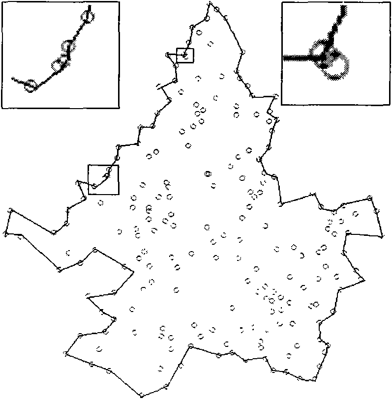
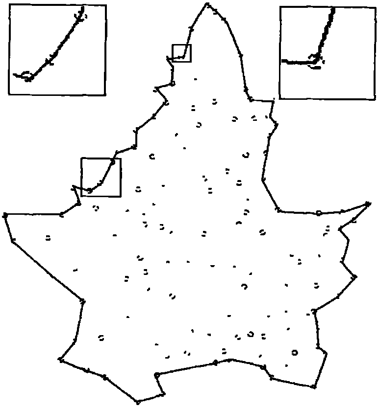
[0066] In order to take into account the relationship between residential areas and roads, and to maintain the distribution range of residential area groups, internal density distribution and other important characteristics. Taking into account the basic process of the selection model of the residential point group of road elements (such as Image 6 ): (1) This method is based on raster data, so the vector data, namely point features and line features, must be rasterized first, and the line rasterization adopts the full path raster method. (2) In order to maintain the density distribution characteristics of the residential clusters, this method uses the grid density clustering method to partition the residential clusters according to the density. (3) Based on the obtained raster data, the Voronoi map of obstacles is obtained by using the principle of grid distance tr...


PUM


Abstract

The invention discloses a point group geographic entity selection method under the restriction of correlated elements. The method comprises the following steps of: 1) maintaining the contour form of a point-like geographic element group; 2) maintaining the density distribution characteristics of the point group, clustering the point elements according to the density, and sorting and selecting; and 3) restricting correlated elements. By the method, a map needed by a user can be obtained rapidly and effectively. The aesthetic quality of the map is ensured and the prominence is given to the key points for easy query analysis while strengthening the essence, abandoning the refuse and maintaining the logical relation and solitary relation between the map objects by analyzing the requirements of the user.

Description

technical field [0001] The present invention relates to a method for selecting a point cloud geographic entity, more specifically, the present invention relates to a method for selecting a point cloud geographic entity limited by associated elements. Background technique [0002] The automatic target selection of point geographic elements is an important part of map synthesis, and it is also an unavoidable problem in the multi-scale expression of massive POIs. It is possible to keep important point-like geographic elements, discard minor point elements to make the map clear and eye-catching, and maintain the level of detail of the map content corresponding to the scale. Therefore, the selection of point group elements mainly needs to solve two problems, one is how many point elements to select, and the other is which points to select or which points to delete. For the determination of the selected number of point-like elements, there are many relatively mature models (such ...

Claims


Application Information

Patent Timeline
IPC IPC(8): G06T1/00
Inventor 郭邦梅王涛赵荣
Owner CHINESE ACAD OF SURVEYING & MAPPING
Why Eureka
Try Eureka