Manufacturing method of true digital ortho map (TDOM) based on light detection and ranging (LiDAR) point cloud and aerial image

A technology of aerial imagery and lidar, applied in the interpretation of photos, etc., can solve the problems of irregular data density, loss of important information, incomplete data, etc., and achieve the effect of easy and accurate extraction

Inactive Publication Date: 2013-04-03
WUHAN UNIV
View PDF3 Cites 81 Cited by
  • Summary
  • Abstract
  • Description
  • Claims
  • Application Information

AI Technical Summary

Problems solved by technology

[0008] However, although LiDAR technology can directly obtain the spatial geometric three-dimensional information of ground objects, its working mode relies on the active mode of echo reception to obtain surface elevation information. Therefore, the data obtained by using LiDAR itself has defects: ① Due to the , object characteristics (such as water surface) and other factors, there will be cases where the echo information in some areas is absorbed and there is no data; ②When the laser beam meets the edge part of the object, the echo will be refracted, resulting in incomplete data on the edge part of the object; ③ Data sampling is carried out according to time interval or space interval. The data is a discrete point set, and some important information outside the point set is lost.
Therefore, on the one hand, it is difficult to directly obtain the semantic information (such as texture and structure) of the object surface by using LiDAR technology; However, it is still very difficult to directly use LiDAR point cloud data to accurately extract 3D information of ground objects. [11]
Judging from many current studies, it is very difficult to use LiDAR point cloud data alone for automatic and intelligent processing such as classification and recognition of ground objects.

Method used


Image

  • Manufacturing method of true digital ortho map (TDOM) based on light detection and ranging (LiDAR) point cloud and aerial image
  • Manufacturing method of true digital ortho map (TDOM) based on light detection and ranging (LiDAR) point cloud and aerial image
  • Manufacturing method of true digital ortho map (TDOM) based on light detection and ranging (LiDAR) point cloud and aerial image

Examples


Embodiment Construction

[0061] The present invention will be further described below in conjunction with the accompanying drawings and specific implementation.

[0062] The method for making a true orthophoto based on a lidar point cloud and an aerial image of the present invention comprises the following steps:

[0063] Step 1, preprocessing the airborne LiDAR point cloud;

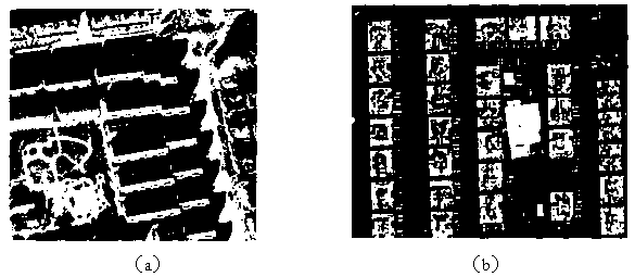
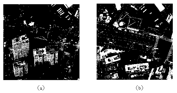
[0064] When the airborne LiDAR system collects data, due to internal errors and specular reflections on the surface of objects, some noise points will be generated, which will seriously interfere with subsequent operations. In order to eliminate system errors and noise, and accurately use the airborne LiDAR point cloud for subsequent processing, the airborne LiDAR point cloud must be preprocessed to remove rough points, including removing duplicate points, elevation abnormal points, isolated points, and points in the air, etc. For example, the points with significantly lower elevations caused by the laser hitting the steps lead...


PUM


Abstract

The invention provides a manufacturing method of a true digital ortho map (TDOM) based on a light detection and ranging (LiDAR) point cloud and an aerial image. The manufacturing method comprises the following steps of: carrying out pretreatment, organization and filtering in sequence on an airborne LiDAR point cloud so as to carry out feature extraction; carrying out matching on stereo pairs of the original aerial image so as to obtain a stereo aerial image, and extracting the characteristic of the stereo aerial image, wherein the extracted characteristic of the stereo aerial image and the characteristic of the airborne LiDAR point cloud are of the same kind; carrying out registration on density point cloud of the stereo aerial image and the airborne LiDAR point cloud after filtering based on the extractive characteristic, so as to obtain a DSM (digital surface model); and manufacturing the TDOM according to the DSM. Compared with the prior art, the manufacturing method provided by the invention can rapidly generate high-quality TDOM.

Description

technical field [0001] The invention belongs to the application field of photogrammetry, in particular to a method for making true orthoimages based on laser radar point clouds and aerial images. Background technique [0002] With the rapid development of computer technology and communication technology, digital geographic information has become an indispensable support condition for cities and even the whole country in macro-decision-making and planning management in various fields. Therefore, the accuracy and reality of basic geographic information data are raised. quite high requirements. At the same time, due to the development of geographic information systems, more requirements are put forward for the form of basic geographic information data, not only vector data, raster data, but also visual image data. Ground digital images directly acquired by photogrammetry often have problems such as position deviation and deformation of ground objects due to sensor attitude or ...

Claims


Application Information

Patent Timeline
Patent Type & Authority Applications(China)
IPC IPC(8): G01C11/04
Inventor 万幼川陈亚男
Owner WUHAN UNIV
Why Eureka
Try Eureka