High-resolution optical satellite maneuvering imaging drift angle correction method

An optical satellite and maneuvering imaging technology, applied in the field of optical remote sensing satellite imaging, can solve problems such as reference

Active Publication Date: 2014-06-25
AEROSPACE DONGFANGHONG SATELLITE
View PDF1 Cites 13 Cited by
  • Summary
  • Abstract
  • Description
  • Claims
  • Application Information

AI Technical Summary

Problems solved by technology

According to the current foreign data, the French Pleiades satellite and the American IKONOS satellite are agile satellites with fast maneuverability, which can flexibly realize strip splicing imaging, stereoscopic imaging, and regional point target imaging. According to the Pleiades satellite and IKONOS-2 From the imaging mode given by the satellite, it is inferred that Pleiades and IKONOS-2 should also have mobile imaging capabilities, but there is no information available for the specific implementation method

Method used


Image

  • High-resolution optical satellite maneuvering imaging drift angle correction method
  • High-resolution optical satellite maneuvering imaging drift angle correction method
  • High-resolution optical satellite maneuvering imaging drift angle correction method

Examples


Embodiment Construction

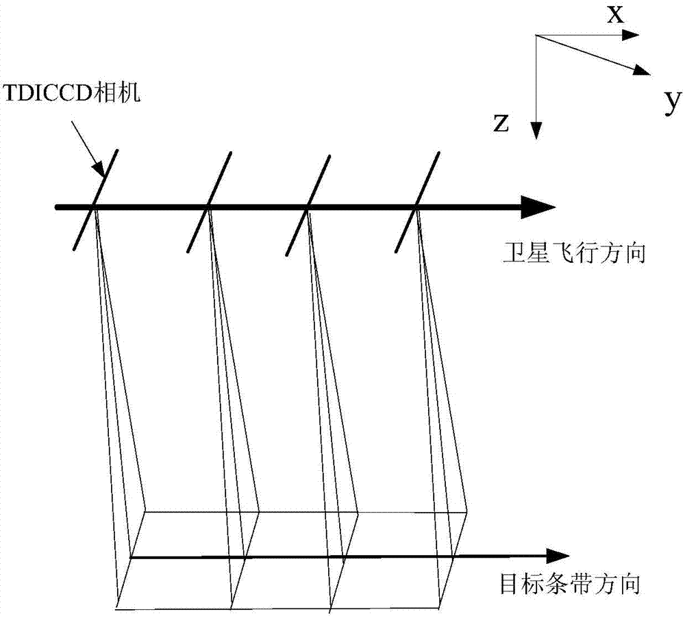
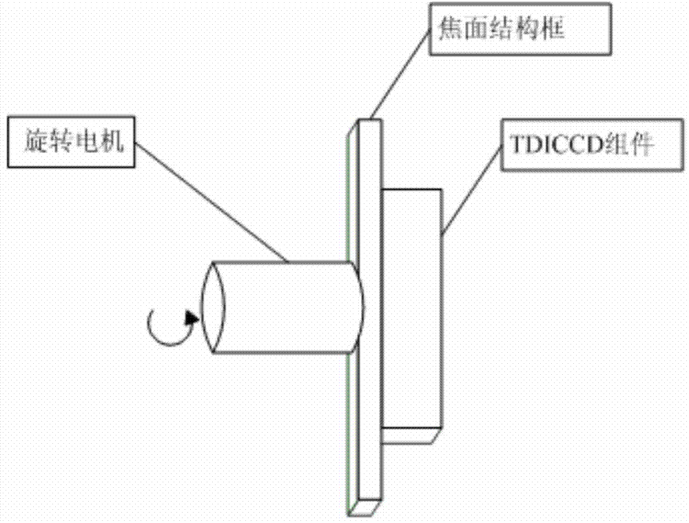
[0025] Such as Figure 5 Shown, the present invention mainly comprises the following steps:

[0026] (1) Use the stk simulation software to establish the satellite scene and satellite model according to the actual satellite parameters, and use the sensor tools in the stk software to establish the TDICCD camera model under the satellite model to obtain the basic model of maneuvering imaging;

[0027] (2) Using matlab software, according to the target trajectory tracking requirements, determine the attitude maneuver scheme (transition sequence, attitude angular rate change, etc.), simulate and calculate the satellite attitude, obtain the real-time attitude data of the satellite at each moment, and at the same time calculate the satellite coordinate system , attitude angle sequence, loading time, etc., generate a satellite attitude data file (.a file) according to the attitude data format required by stk, and load it into the basic model established in step (1). The dynamic imagi...


PUM


Abstract

The invention discloses a high-resolution optical satellite maneuvering imaging drift angle correction method. A drift angle correction model under a maneuvering imaging mode is set up according to a satellite attitude maneuver scheme, a method for calculating a drift angle is derived based on the satellite position and ground point position coordinates, and a scheme for installing a drift angle correction device at the focal plane position is provided. Thus, a satellite can have the imaging capacity on a target strip deviating from the flying direction, the observation range and the observation efficiency of the satellite are greatly improved, and meanwhile, the satellite can have the dynamic pushing and blooming imaging capacity in the vertical direction of a sub-satellite point. Large-width imaging of a sub-satellite point area is achieved in a multi-strip splicing manner, and the requirement for the TDICCD camera width is lowered.

Description

technical field [0001] The invention belongs to the field of optical remote sensing satellite imaging, and relates to a method for correcting a deflection angle of a high-resolution optical satellite mobile imaging equipped with a TDICCD camera. Background technique [0002] TDICCD is based on multiple exposures of the same target to achieve time-delay integration, which greatly enhances light energy collection and improves the signal-to-noise ratio, so it is widely used in high-resolution optical remote sensing satellites. But at the same time, due to the special working method of TDICCD, each pixel on the same column is required to integrate the exposure of the same target. The basic premise of its normal operation is that the transfer of photogenerated charge packets is synchronized with the movement of the image on the focal plane. Any matching errors will result in blurred images. [0003] At present, most satellites adopt attitude maneuvering in advance to make the ca...

Claims


Application Information

Patent Timeline
Patent Type & Authority Applications(China)
IPC IPC(8): G06F19/00
Inventor 韩杏子赵鸿志孙燕萍窦强王付刚叶钊董小静
Owner AEROSPACE DONGFANGHONG SATELLITE
Why Eureka
Try Eureka