

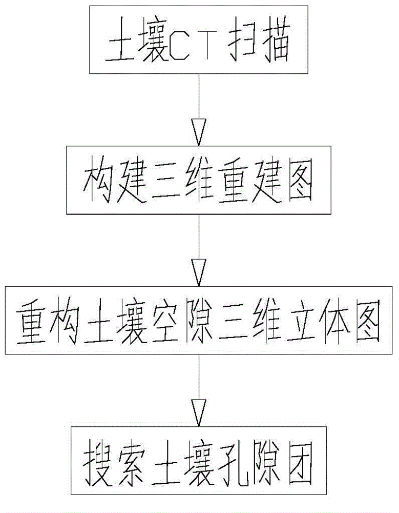
Reconstructed soil computer tomography (CT) picture three-dimensional reconstruction and soil pore searching method
A technology of 3D reconstruction and search method, applied in 3D modeling, image data processing, instruments, etc., can solve problems such as soil pores, complex structure and limitations that cannot be reflected intuitively and accurately, and achieve the effect of convenient writing and debugging
- Summary
- Abstract
- Description
- Claims
- Application Information
AI Technical Summary
Problems solved by technology
Method used
Image

Examples
Embodiment 1
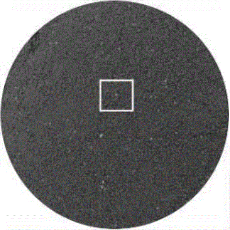
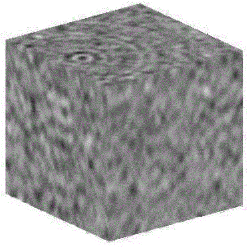
[0071] Select 19 consecutive CT scan pictures of the 0-25cm soil layer in the south dump of Pingshuo mining area in Shanxi Province (which has been reclaimed for 23 years), import them into matlab, input the length and width of the selected area, and determine the area for 3D reconstruction, see figure 2 , and then call the main function of the 3D reconstruction to get the 3D reconstruction image as image 3 As shown, next, binarize the 3D reconstruction map, use Arcgis software to select a threshold value of 64, redraw and reconstruct the soil pores, and obtain a 3D stereogram of the reconstructed soil pores as shown in Fig. Figure 5 As shown, search for the number of soil pore clusters and the number of pixels contained in each pore cluster, output the results, and finally calculate the porosity of the reconstructed area.
[0072] There are a total of 707 pore clusters in this search, the minimum number of pore cluster pixels is 1, and the maximum pore cluster pixel number...
Embodiment 2
[0076] Select 25 continuous CT scan pictures of the 0-25cm soil layer in the inner dump site (not reclaimed), the specific operation is the same as that of the implementation case 1, and the threshold value is selected by using AutoCAD software to be 50, and the three-dimensional reconstruction picture is obtained as follows Figure 4 As shown, the reconstructed 3D stereogram of soil pores is as follows Figure 6 shown. There are a total of 927 pore clusters in this search, the minimum number of pore cluster pixels is 1, and the maximum pore cluster pixel number is 1309. The size distribution of pore clusters is shown in Table 2, and the porosity is 0.0309.
[0077] Table 2 Distribution of pore clusters in the 0-25cm soil layer of the inner dump
[0078] distribution range
Embodiment 3
[0080] Select 20 continuous CT scan pictures of 25-50cm soil layer in the south dump of Pingshuo mining area in Shanxi (which has been reclaimed for 23 years), import them into matlab, input the length and width of the selected area, and determine the area for 3D reconstruction, see figure 2 , get the 3D reconstruction image as Figure 5 As shown, next, binarize the 3D reconstruction map, use Arcgis software to select a threshold value of 68, redraw and reconstruct the soil pores, and obtain the 3D stereogram of the reconstructed soil pores as shown in Fig. Figure 9 As shown in , search for the number of soil pore clusters and the number of pixels contained in each pore cluster, output the results, and finally calculate the porosity of the reconstructed area.
[0081]There are 930 pore clusters in this search, the minimum number of pore cluster pixels is 1, and the maximum pore cluster pixel number is 347347. The size distribution of pore clusters is shown in Table 3, and th...
PUM
 Abstract
Description
Claims
Application Information