

Layout method of single ground calibration station for geosar phase calibration
A ground-based calibration and phasing technology, applied in the direction of utilizing re-radiation, special data processing applications, radio wave reflection/re-radiation, etc., can solve the problem of lack of universality and not meeting the requirements of GEOSAR long synthetic aperture imaging phase single-station layout , the lack of the single-station layout method of the GEOSAR phase calibration system, etc., to reduce the complexity, meet the needs of phase calibration, and reduce the cost of layout
- Summary
- Abstract
- Description
- Claims
- Application Information
AI Technical Summary
Problems solved by technology
Method used
Image

Examples
Embodiment Construction
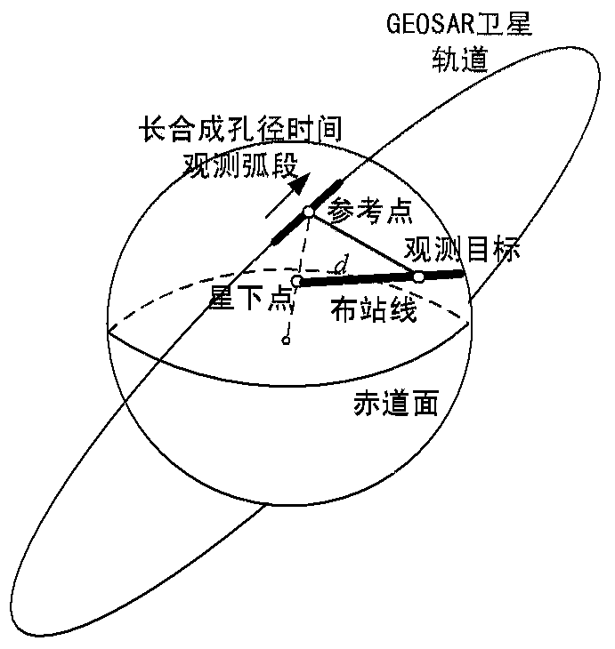
[0020] The specific implementation of the present invention will be described below in conjunction with the accompanying drawings. The layout structure of the single ground calibration station used for geosynchronous orbit synthetic aperture radar phase calibration adopted by the present invention is as follows: figure 1 shown.
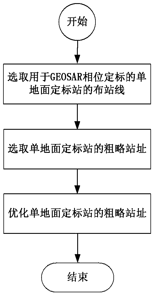
[0021] The layout method of the single ground calibration station used for GEOSAR phase calibration in this embodiment, as attached figure 2 As shown, its specific implementation process is as follows:
[0022] 1. Select the station layout line of the single ground calibration station for GEOSAR phase calibration
[0023] ① Use the earth-centered and ground-fixed coordinate system as the reference coordinate system;
[0024] ② In the earth-centered earth-fixed coordinate system, calculate the sub-satellite point site at the middle point of the GEOSAR imaging arc;
[0025] ③ Select the great circle line of the earth passing through the target geod...
PUM
 Abstract
Description
Claims
Application Information