Geological section modeling method based on drilling information and knowledge inference technology
A technology of geological section and knowledge reasoning, applied in the fields of engineering calculation and GIS, can solve problems that cannot be integrated into accuracy and practicability, and achieve the effect of solving low accuracy and practicability
- Summary
- Abstract
- Description
- Claims
- Application Information
AI Technical Summary
Problems solved by technology
Method used
Image
Examples
Embodiment Construction
[0023] The technical solutions of the present invention will be described in detail below, but the protection scope of the present invention is not limited to the embodiments.
[0024] like image 3 As shown, the present invention provides a geological section modeling method based on drilling information and knowledge reasoning technology, which specifically includes the following steps in sequence:
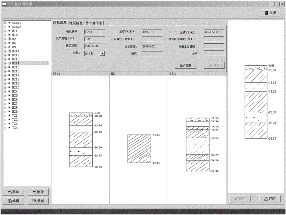
[0025] Step 1: Drillhole database. Establish a borehole database to store the borehole information detected during the survey. A borehole is a columnar three-dimensional body with a small surface area and a certain depth, which can be represented by a point-like entity. The borehole information includes geographic information, stratum information, and remark information. Among them, the formation data of a borehole can be regarded as composed of multiple line segments with the same plane coordinates and perpendicular to the surface. Each line segment represents a section of fo...
PUM
 Abstract
Description
Claims
Application Information
 - R&D
- Intellectual Property
- Life Sciences
- Materials
- Tech Scout
- Unparalleled Data Quality
- Higher Quality Content
- 60% Fewer Hallucinations
Browse by: Latest US Patents, China's latest patents, Technical Efficacy Thesaurus, Application Domain, Technology Topic, Popular Technical Reports.
© 2025 PatSnap. All rights reserved.Legal|Privacy policy|Modern Slavery Act Transparency Statement|Sitemap|About US| Contact US: help@patsnap.com


