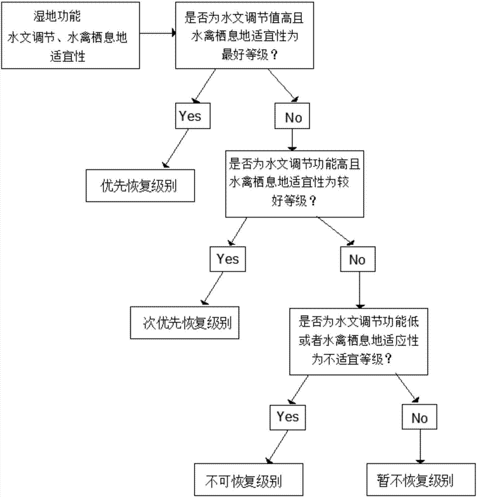
Spatial restoration analysis method for marsh wetland in river basin
An analysis method and space recovery technology, applied in the direction of instruments, scene recognition, calculation, etc., can solve the problems of not considering the functional characteristics of swamps and wetlands, and achieve accurate and determined results
- Summary
- Abstract
- Description
- Claims
- Application Information
AI Technical Summary
Problems solved by technology
Method used
Image
Examples
Embodiment Construction
[0043] Take the Muling River Basin as an example to illustrate the inventive method:
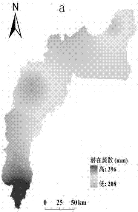
[0044]The Muling River Basin is located in the southeast of the Sanjiang Plain in the northeast of my country and belongs to the Jixi area. It is located at 43°01′~43°19′N, 131°20′~132°09′E, with a total area of about 2.22×10⁴km2. The Muling River Basin belongs to the temperate continental semi-humid and semi-arid monsoon climate. Affected by the alternation of winter and summer monsoons, the climate changes significantly in four seasons. The rain and heat are in the same period. Cold and dry. The annual precipitation is 390-450mm, mainly concentrated in May-September, accounting for 80% of the annual precipitation. In this area, swamps and marshy meadows are widely developed on the vast alluvial low plains, terraces and floodplains formed by rivers. Herbaceous vegetation is dominant in the region, with few trees and shrubs, a large area of non-zonal vegetation, and more halophytic pl...
PUM
 Abstract
Description
Claims
Application Information
 - R&D
- Intellectual Property
- Life Sciences
- Materials
- Tech Scout
- Unparalleled Data Quality
- Higher Quality Content
- 60% Fewer Hallucinations
Browse by: Latest US Patents, China's latest patents, Technical Efficacy Thesaurus, Application Domain, Technology Topic, Popular Technical Reports.
© 2025 PatSnap. All rights reserved.Legal|Privacy policy|Modern Slavery Act Transparency Statement|Sitemap|About US| Contact US: help@patsnap.com


