Navigation method based on satellite navigation and vision navigation and application thereof
A visual navigation and satellite navigation technology, applied in the field of navigation, can solve problems such as attenuation of navigation signals, blocking navigation signals, and inability to collect image information in real time, and achieve the effect of improving stability
- Summary
- Abstract
- Description
- Claims
- Application Information
AI Technical Summary
Problems solved by technology
Method used
Image


Examples
Embodiment 1
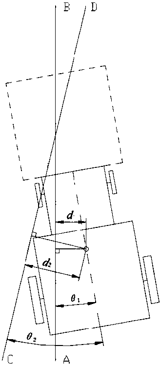
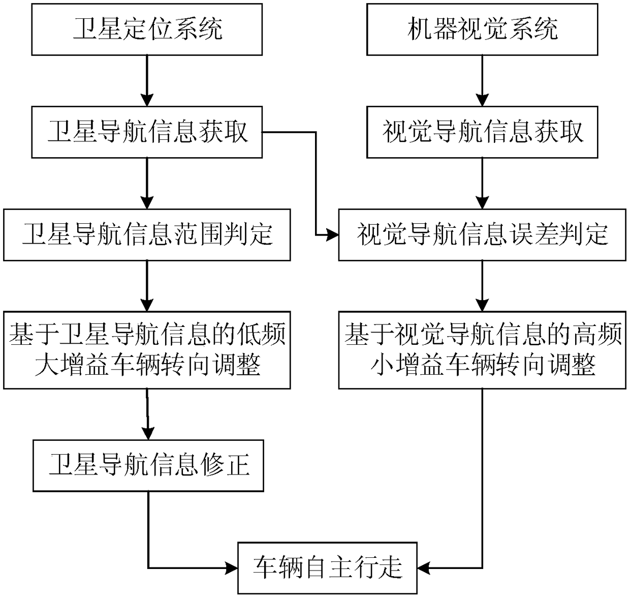
[0063] like figure 1 Shown is a structure diagram of a navigation system using an embodiment of the navigation method. The navigation system includes a satellite navigation system and a visual navigation system. The satellite navigation system adopts the Beidou satellite positioning system, and the visual navigation system is a monocular visual navigation system. The satellite navigation system mainly includes dual antennas, a reference station and a controller. The differential technology is used to obtain the position information and attitude information of the vehicle, and then the navigation lateral deviation and heading deviation information are obtained by referring to the previously set navigation line. The visual navigation system mainly includes a camera and an image processor. The navigation line is obtained by identifying, locating, and fitting a straight line. At the same time, the position and attitude information of the vehicle is obtained according to the relati...
PUM
 Abstract
Description
Claims
Application Information