
Two-dimensional structural mesh generation method for branchless river based on topographic feature boundaries
A technology of terrain characteristics and two-dimensional structure, applied in special data processing applications, instruments, electrical digital data processing, etc., can solve the problems of controlling the longitudinal trend of the river, inability, and inconvenient operation
- Summary
- Abstract
- Description
- Claims
- Application Information
AI Technical Summary
Problems solved by technology
Method used
Image

Examples
Embodiment 1
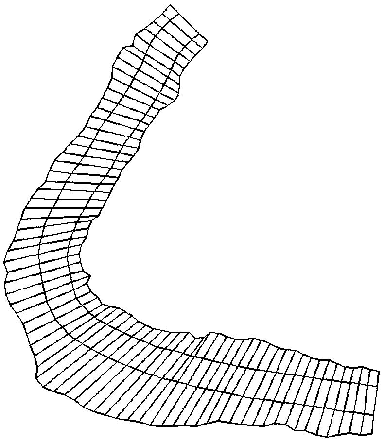
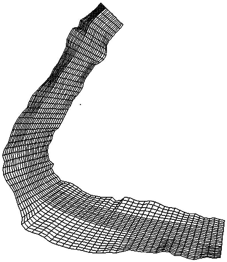
[0047] In this embodiment, a method for subdividing a two-dimensional structure grid of a branchless river channel based on the terrain feature boundary is described in detail, and the steps are as follows:
[0048] (1) Obtain basic data
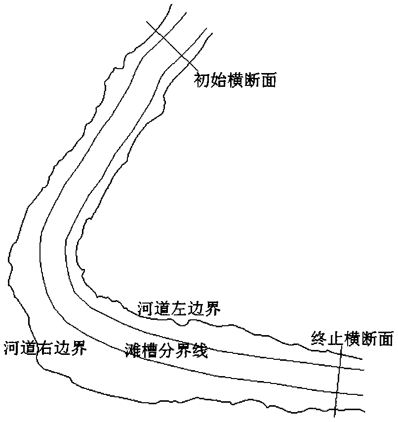
[0049] Select the unbranched target river section that needs to be divided into two-dimensional structural grids. The distribution of the characteristic longitudinal control line, initial cross-section and end cross-section of the target river section is as follows: figure 1 shown.
[0050] Obtain the terrain data of the characteristic longitudinal control lines of the target river section through satellite images. Specifically, import a high-definition satellite image into CAD software to draw the river channel boundary line and the trough-shoal boundary line to obtain 4 characteristic longitudinal control lines, and The plane coordinate data of several control points on these four longitudinal control lines will be located between the lef...
Embodiment 2
[0068] In this embodiment, an example is used to illustrate the extended application of the two-dimensional structured grid obtained by using this method.
[0069] By means of computer programming (such as Fortran, Matlab, etc.), the grid data obtained by the subdivision of Embodiment 1 is integrated according to the readable text format or batch drawing command sequence of software such as Mike, SMS, Auto-CAD, etc., to realize the perfect data exchange channel Build, give full play to the unique advantages of each software to perform multi-form visualization and deep-level reuse of the two-dimensional structure grid of unbranched rivers obtained by subdivision.
[0070] (1)Mike
[0071] Mike is a water flow simulation component developed by Danish DHI company, which integrates Mike11 and Mike21, which are widely used at present. Mike21 is suitable for the scale demonstration and analysis of watershed control engineering at the macro level, the research of watershed flood reg...
PUM
 Abstract
Description
Claims
Application Information