An urban forest tree preferential planting area selection method and system

A technology of regional selection and urbanization, applied in the direction of instruments, data processing applications, resources, etc., can solve problems such as lack, blind randomness of spatial layout, etc.

Inactive Publication Date: 2019-06-28
INST OF FORESTRY CHINESE ACAD OF FORESTRY
View PDF0 Cites 2 Cited by
  • Summary
  • Abstract
  • Description
  • Claims
  • Application Information

AI Technical Summary

Problems solved by technology

In the practice of forest city construction, there is still a lack of guidance from relevant scientific theories on how to maximize the effect of urban forest on the urban environment and citizens’ well-being through scientific and reasonable urban forest spatial layout. Therefore, in the process of urban forest construction The problem of blind arbitrariness in spatial layout is extremely prominent

Method used


Image

  • An urban forest tree preferential planting area selection method and system
  • An urban forest tree preferential planting area selection method and system
  • An urban forest tree preferential planting area selection method and system

Examples


Embodiment Construction

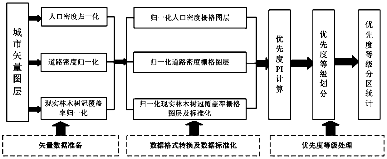
[0030] Such as figure 1 Shown, the urban forest tree priority planting area selection method of the present invention comprises steps:

[0031] 1) Obtain the vector layer of the city, and then use the community (street) and / or village as the unit to divide the city into several regional units;

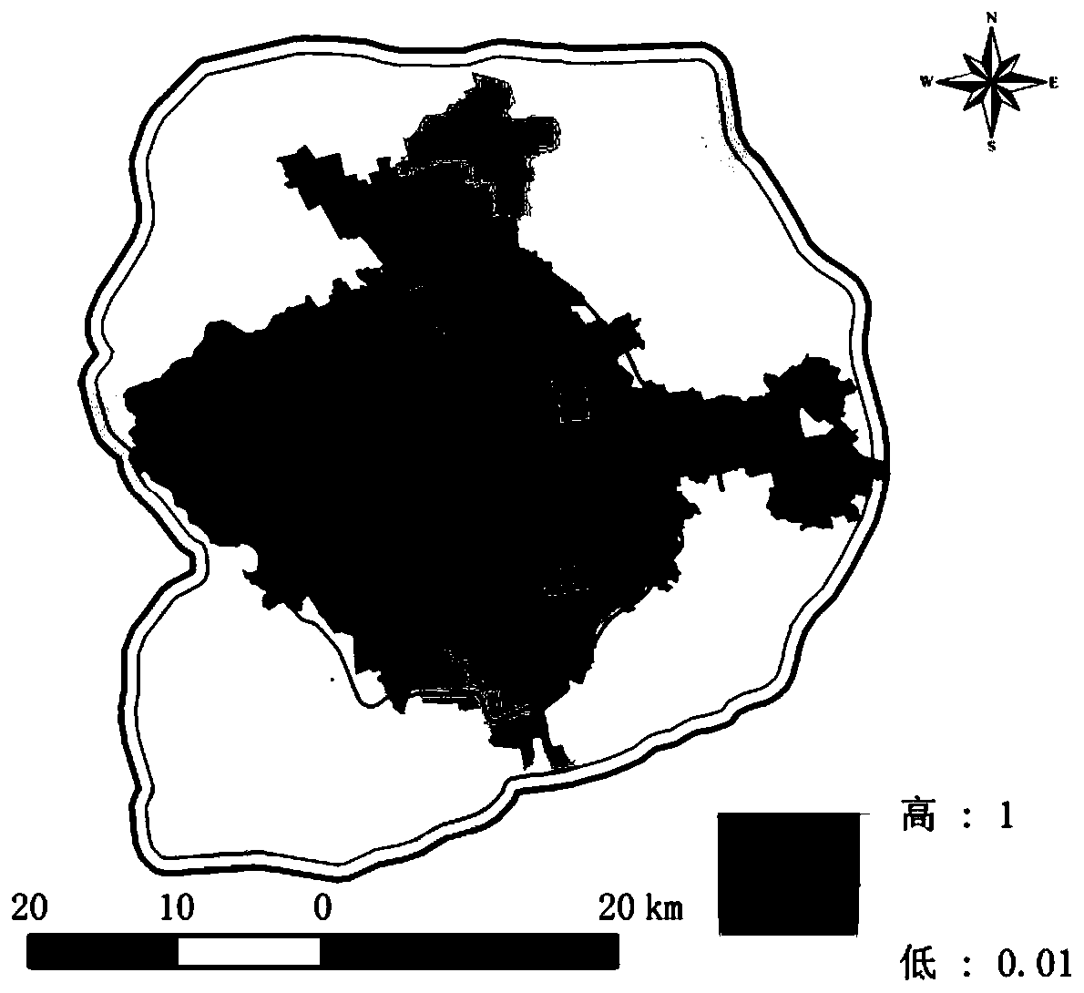
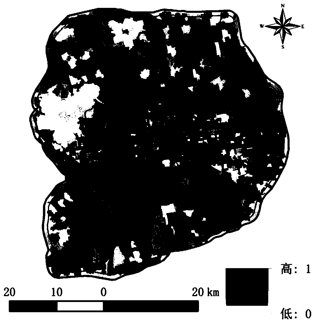
[0032] 2) Input the population data, road area data and real tree canopy coverage data of each regional unit of the city, and then use the database calculation function of the ArcMap GIS system to calculate the population density, road density and real tree canopy coverage of each regional unit the vector data;

[0033] 3) Using the database calculation function of the ArcMap GIS system, normalize the vector data of the population density, road density and actual tree canopy coverage of each regional unit (by using the maximum value normalization method), and obtain each regional unit The normalized population density, normalized road density and normalized real tree canopy coverage ...


PUM


Abstract

The invention discloses an urban forest tree preferential planting area selection method and system. The method comprises the steps of obtaining an urban vector layer and dividing the urban vector layer into a plurality of area units; inputting unit population, road area and real forest crown coverage area data of each region to obtain unit population density, road density and real forest crown coverage vector data of each region; performing normalization processing and format conversion to obtain a normalization population density grid layer, a normalization road density grid layer and a normalization real forest tree crown coverage rate grid layer; calculating the priority of each grid unit to obtain a priority PI grid layer; performing priority level division, drawing a PI priority level distribution grid layer, and regarding the region unit with the higher priority level as a region where trees need to be preferentially planted. The method can visually and accurately reflect the demand degree of different regional spaces of a city for urban forest construction, and provides a reliable decision basis for preferential site selection of an urban space forest planting region.

Description

technical field [0001] The invention relates to a technique for determining a priority tree planting area based on spatial data processing, in particular to a method and system for selecting a tree priority planting area in an urban forest, belonging to the technical field of urban green space management. Background technique [0002] Urban areas are the areas with the most prominent contradictions in various land uses. Ecological land is often in a weak position in the game of interests of various land users because of its universal and external characteristics of ecological and social benefits. With the intensification of urban air pollution, water pollution, noise, heat island effect and other new environmental problems that have a huge impact on the living environment, and the continuous improvement of residents' material living standards, people's vision of clean air and beautiful environment in cities is also increasing. more urgent. [0003] Facing the grim situation...

Claims


Application Information

Patent Timeline
Patent Type & Authority Applications(China)
IPC IPC(8): G06Q10/06G06Q50/02
Inventor 贾宝全张文邱尔发姜莎莎李晓婷金佳丽詹晓红
Owner INST OF FORESTRY CHINESE ACAD OF FORESTRY
Why Eureka
Try Eureka