A small satellite mosaic imaging ground simulation system
A ground simulation and imaging technology, applied in the field of small satellite remote sensing simulation imaging, to achieve the effect of easy operation, strong reliability and high accuracy
- Summary
- Abstract
- Description
- Claims
- Application Information
AI Technical Summary
Problems solved by technology
Method used
Image
Examples
Embodiment Construction
[0028] The present invention will be described in further detail below in conjunction with the accompanying drawings and embodiments.
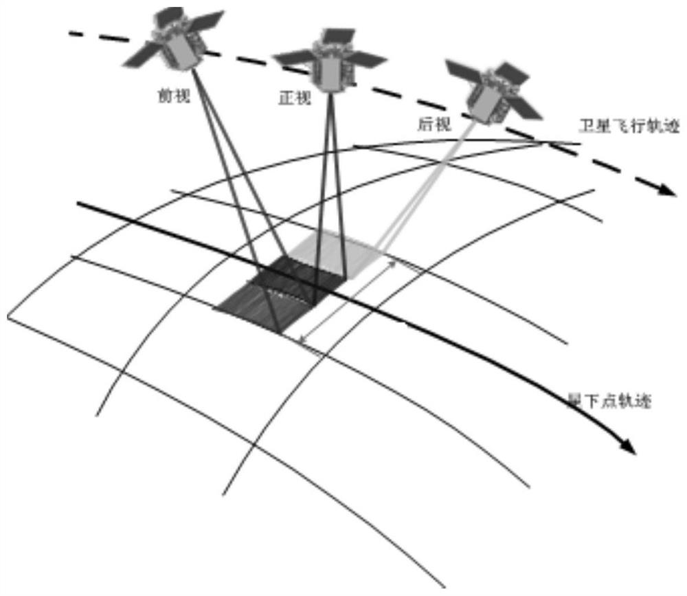
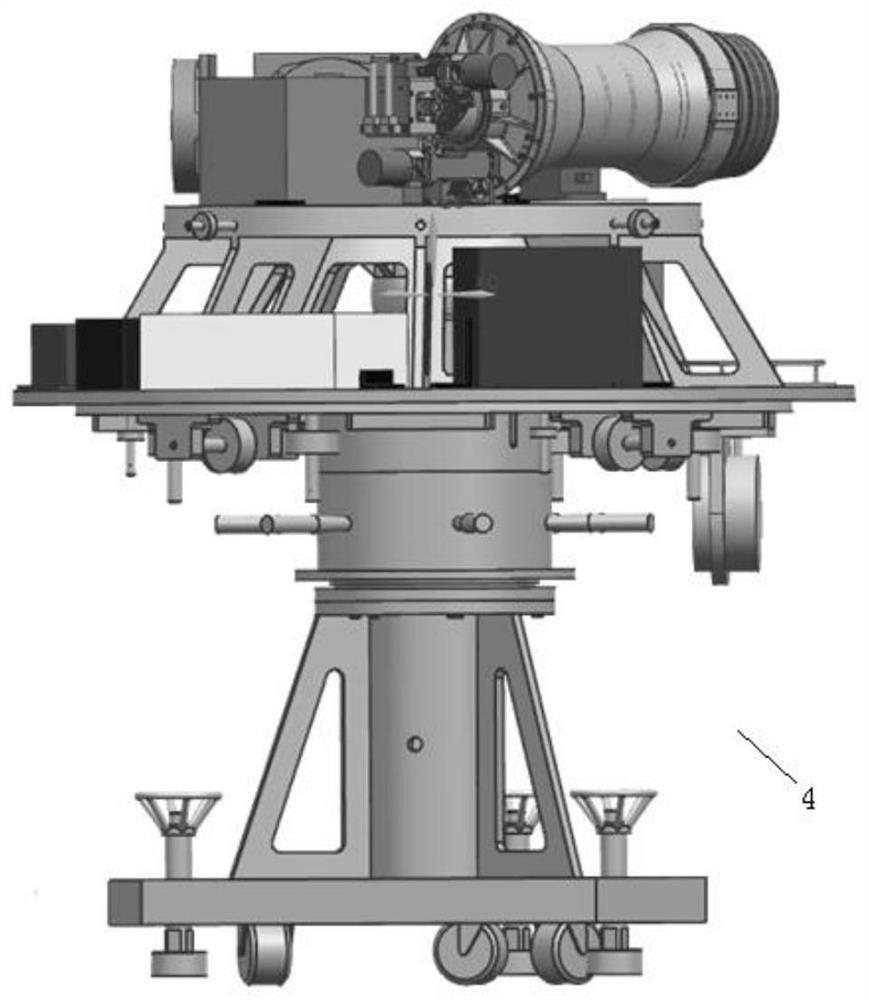
[0029] The invention relates to a ground simulation system for splicing and imaging of small satellites. According to the on-orbit imaging process of small satellites, corresponding proportional mapping is performed on imaging physical quantities to build a ground simulation imaging simulation system. The process of small satellite in-orbit imaging mosaic imaging is as follows: figure 1 As shown in Fig. 1 , the small satellite images the sub-satellite point trajectory along the flight trajectory, and splices the front-view, front-view and rear-view imaging images. A ground simulation system for mosaic imaging of small satellites, the system includes an air floating platform 4 , a camera imaging unit, a moving guide rail and a target unit 8 . The camera imaging unit is set on the high-precision air bearing platform 4, and the target unit 8 is ...
PUM
 Abstract
Description
Claims
Application Information
 - R&D
- Intellectual Property
- Life Sciences
- Materials
- Tech Scout
- Unparalleled Data Quality
- Higher Quality Content
- 60% Fewer Hallucinations
Browse by: Latest US Patents, China's latest patents, Technical Efficacy Thesaurus, Application Domain, Technology Topic, Popular Technical Reports.
© 2025 PatSnap. All rights reserved.Legal|Privacy policy|Modern Slavery Act Transparency Statement|Sitemap|About US| Contact US: help@patsnap.com


