Method for determining gravitational field model based on gravity satellite inter-satellite laser ranging system
A laser ranging and gravitational field technology, applied in the field of satellite gravity detection, can solve problems such as poor calculation accuracy, low measurement accuracy, and large observation noise
- Summary
- Abstract
- Description
- Claims
- Application Information
AI Technical Summary
Problems solved by technology
Method used
Image
Examples
Embodiment 1
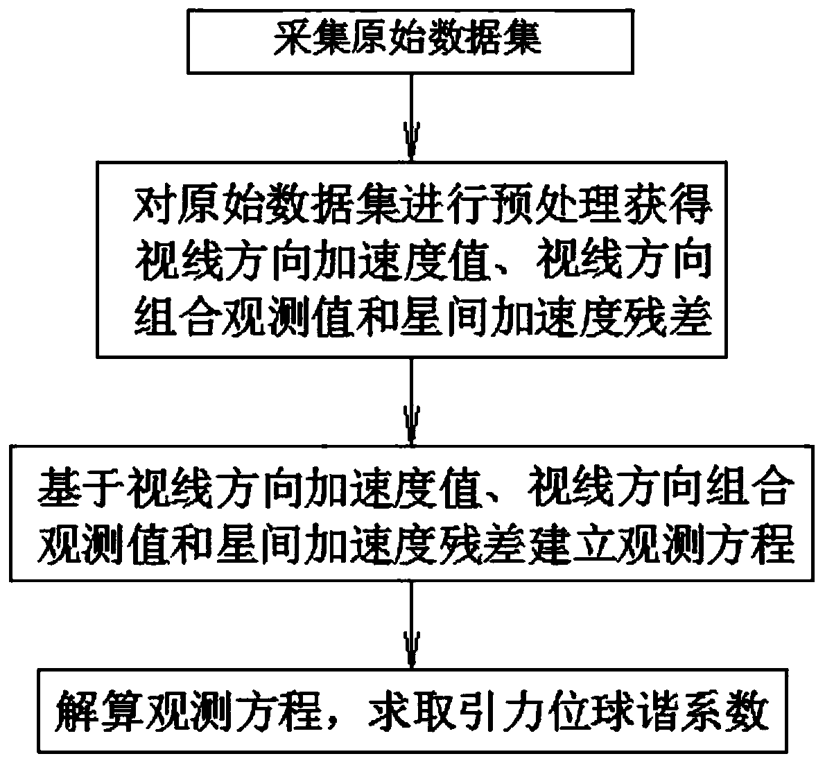
[0084] Such as figure 1 As shown, a method for determining the gravitational field model based on the gravitational satellite intersatellite laser ranging system provided by the present invention comprises the following steps:
[0085] Step 1: Data Preprocessing
[0086] The data source adopts GRACE-Follow On gravity satellite data, and the collected data information includes gravity double star orbit, inter-satellite laser ranging system, on-board accelerometer and its attitude and other data.
[0087] The original observations of the intersatellite laser ranging system need to be corrected geometrically and light-time;
[0088] The gravitational double star orbit requires gross error detection and elimination;
[0089] Attitude data needs to be linearly interpolated;
[0090] The gravitational binary star orbit data, the on-board accelerometer and its attitude data need to be time-synchronized with the observation data of the inter-satellite laser ranging system.
[0091...
PUM
 Abstract
Description
Claims
Application Information
 - R&D
- Intellectual Property
- Life Sciences
- Materials
- Tech Scout
- Unparalleled Data Quality
- Higher Quality Content
- 60% Fewer Hallucinations
Browse by: Latest US Patents, China's latest patents, Technical Efficacy Thesaurus, Application Domain, Technology Topic, Popular Technical Reports.
© 2025 PatSnap. All rights reserved.Legal|Privacy policy|Modern Slavery Act Transparency Statement|Sitemap|About US| Contact US: help@patsnap.com


