Engineering earthwork metering method based on point cloud measurement technology
A measurement technology, engineering earthwork technology, applied in the direction of volume measurement instruments/methods, measurement capacity, measurement devices, etc., can solve the problems of poor robustness, large errors, etc., achieve fast and convenient operation, realize high automation, improve calculation accuracy and Computational Efficiency Effects
- Summary
- Abstract
- Description
- Claims
- Application Information
AI Technical Summary
Problems solved by technology
Method used
Image
Examples
Embodiment 1
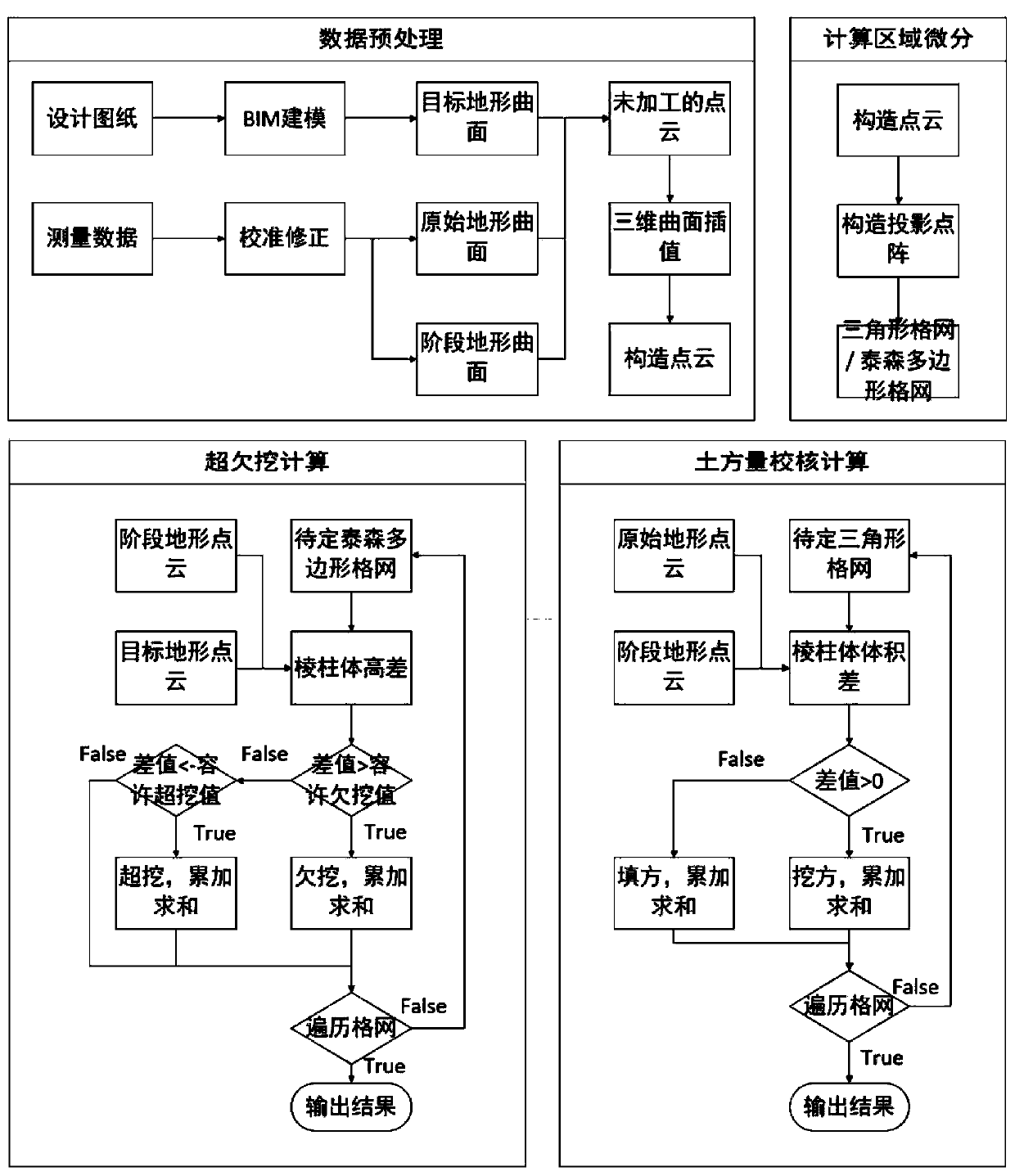
[0047] see figure 1 , a kind of engineering earthwork measurement method based on point cloud measurement technology of the present invention, comprises the following steps:
[0048] S1, based on the target 3D terrain surface data, the initial 3D terrain surface data and the stage 3D terrain surface data, through the 3D surface interpolation method, to obtain the construction point cloud of the target terrain surface, the construction point cloud of the initial 3D terrain surface and the stage 3D terrain surface The construction point cloud of
[0049] S2, using triangular grid differentiation or Thiessen polygon grid differentiation processing on the horizontal projection of the structure point cloud to obtain the projected lattice structure grid;
[0050] S3, calculate the volume difference of the grid column column micro-element to judge whether it is cutting or filling;
[0051] S4, the volume values of the prism micro-elements formed by grid division are accumulated and...
Embodiment 2
[0072] An engineering earthwork measurement method based on point cloud measurement technology has inconsistent requirements for the plane density of points in the point cloud projection matrix when performing over- and under-excavation calculations and earthwork check calculations.
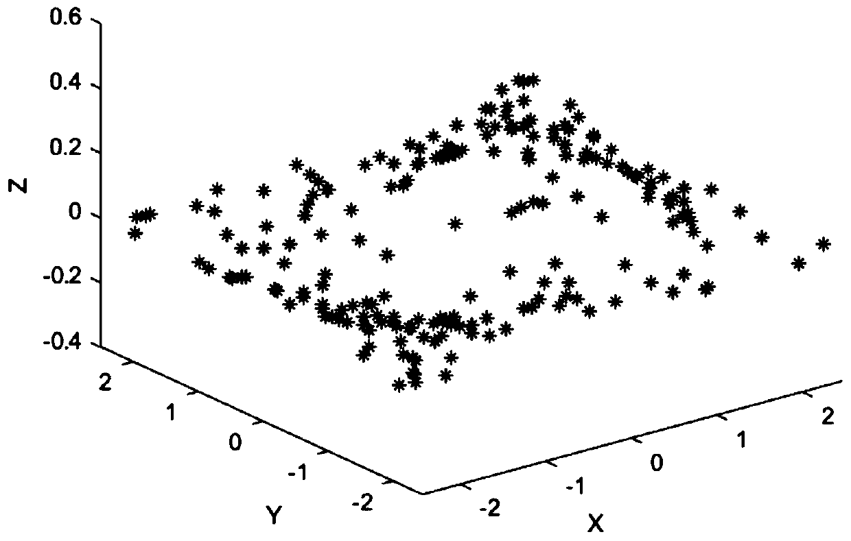
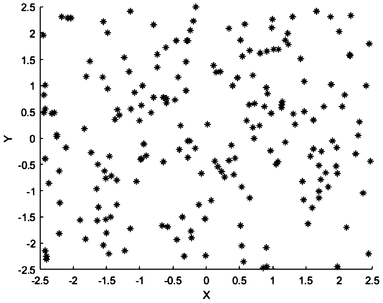
[0073] For general earthworks, according to the steps described in Embodiment 1, the unprocessed point cloud ( Figure 8a and Figure 8b ) to generate a construction point cloud ( Figure 9a and Figure 9b ). When the differential grid is generated from the constructed point cloud, the triangular grid ( Figure 10 ) for the requirements of the planar density of the points in the projection lattice of the construction point cloud, compared with the Thiessen polygon grid ( Figure 11 ) will be lower.
[0074] Compared with the prior art, the present invention is an engineering earthwork calculation method based on point cloud measurement technology. The present invention adopts triangular grid...
PUM
 Abstract
Description
Claims
Application Information
 - R&D
- Intellectual Property
- Life Sciences
- Materials
- Tech Scout
- Unparalleled Data Quality
- Higher Quality Content
- 60% Fewer Hallucinations
Browse by: Latest US Patents, China's latest patents, Technical Efficacy Thesaurus, Application Domain, Technology Topic, Popular Technical Reports.
© 2025 PatSnap. All rights reserved.Legal|Privacy policy|Modern Slavery Act Transparency Statement|Sitemap|About US| Contact US: help@patsnap.com


