Ground penetrating radar for surveying and mapping engineering
A ground-penetrating radar and engineering technology, which is applied in the field of surveying and mapping engineering, can solve problems such as unfavorable long-term operations and inaccurate positioning points, and achieve the effects of protecting health and safety, reducing floor space, and improving adaptability
- Summary
- Abstract
- Description
- Claims
- Application Information
AI Technical Summary
Problems solved by technology
Method used
Image
Examples
Embodiment Construction
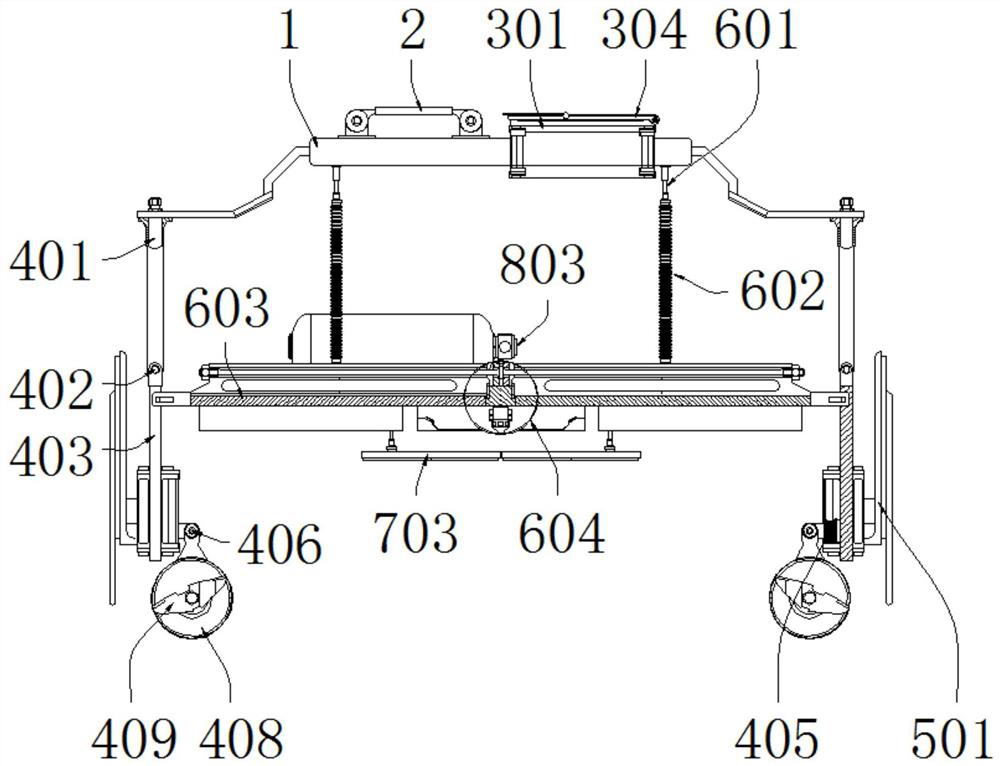
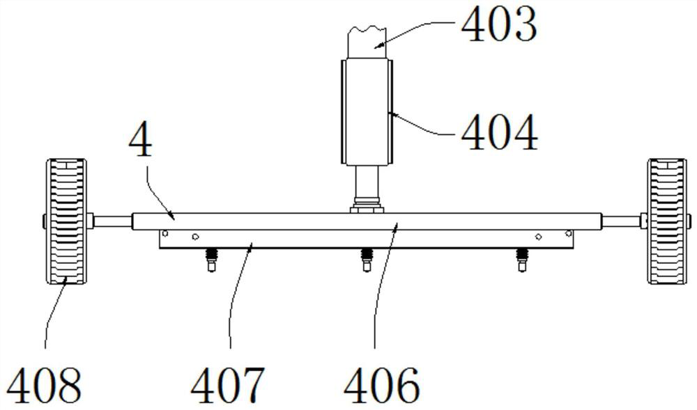
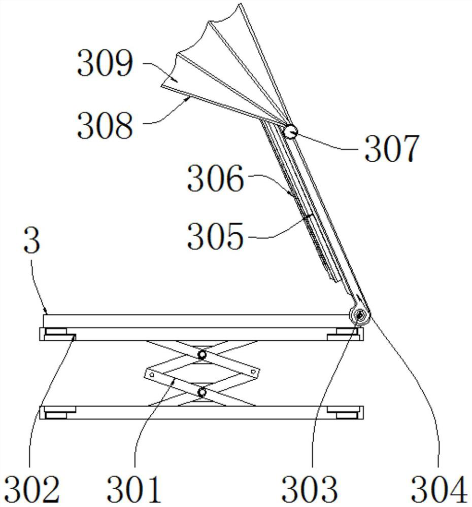
[0032] see Figure 1-10, the present invention provides a technical solution: a ground penetrating radar for surveying and mapping engineering, comprising a carrier 1 and a drive assembly 8, a handle 2 is installed on the top of the carrier 1, and a display assembly 3 is provided on one side of the handle 2, which carries a Both ends of the rack 1 are installed with a traveling assembly 4, and an early warning assembly 5 is installed outside the traveling assembly 4, a marking assembly 6 is installed at the bottom of the rack 1, and a cleaning assembly 7 is installed at the bottom of the marking assembly 6, and the marking assembly 6 includes an electric motor. The telescopic rod 601, the elastic tube telescopic 602, the action frame 603, the mold frame 604, the marking frame 605, the driving pedal 606 and the marking nozzle 607, the output end of the electric telescopic rod 601 is connected with the elastic tube telescopic 602, and the bottom of the elastic tube telescopic 602...
PUM
 Abstract
Description
Claims
Application Information
 - R&D
- Intellectual Property
- Life Sciences
- Materials
- Tech Scout
- Unparalleled Data Quality
- Higher Quality Content
- 60% Fewer Hallucinations
Browse by: Latest US Patents, China's latest patents, Technical Efficacy Thesaurus, Application Domain, Technology Topic, Popular Technical Reports.
© 2025 PatSnap. All rights reserved.Legal|Privacy policy|Modern Slavery Act Transparency Statement|Sitemap|About US| Contact US: help@patsnap.com


