Grid mapping utility for a GPS device
a gps device and grid technology, applied in wave based measurement systems, navigation instruments, instruments, etc., can solve the problems of wasting a lot of time and money, and it is difficult to achieve outdoor
- Summary
- Abstract
- Description
- Claims
- Application Information
AI Technical Summary
Problems solved by technology
Method used
Image
Examples
Embodiment Construction
[0019] Working with the grid mapping utility of the present invention is an easy way to log GPS positions and GIS data at waypoints arranged in an evenly spaced grid. This allows a field user to gather measurements made by field sensors such as depth sounders, chemical detectors and magnetometers. The field user can then create contour maps with the necessary density of data while avoiding any gaps that might force the field user to return to the field.
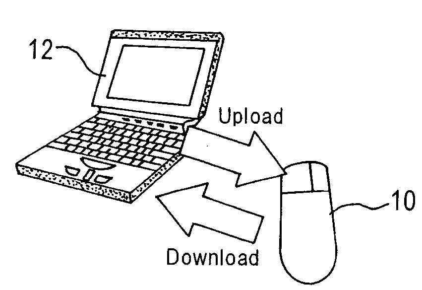
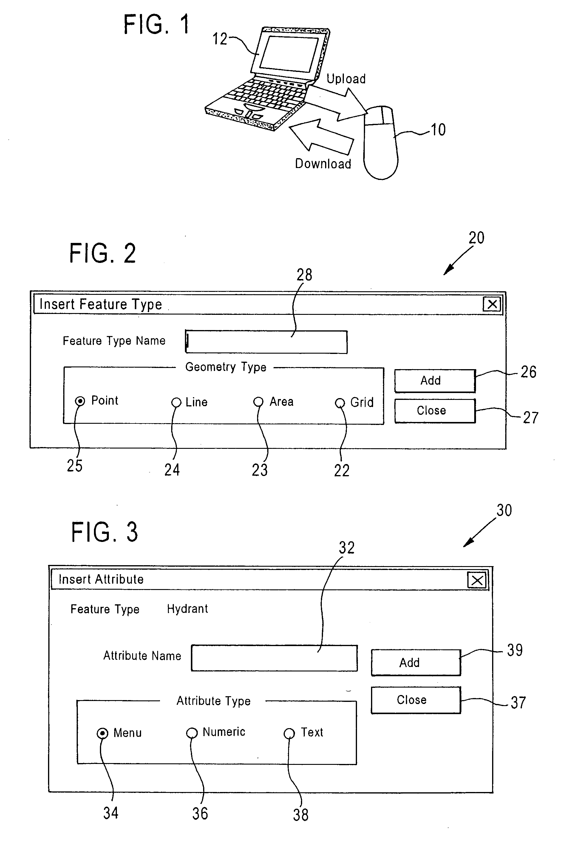
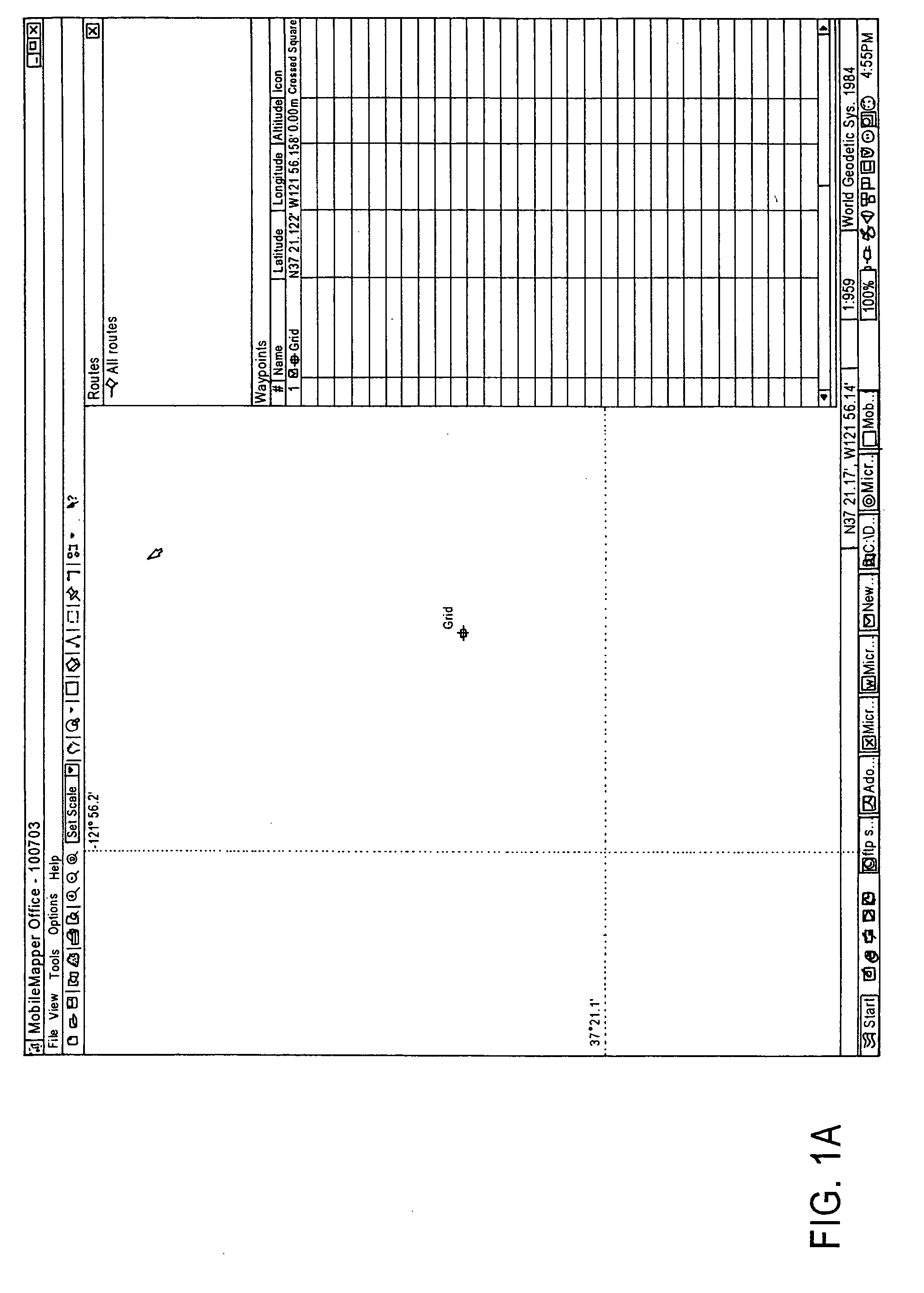
[0020] The grid mapping utility deals with two different grid concepts: grid networks and grid waypoints. Grid networks are arrays of uniformly spaced waypoints oriented in rows and columns. Grid waypoints are navigation features similar to routes. Grid waypoints are created by MobileMapper Office software and uploaded to the receiver. The user navigates to each grid waypoint using MobileMapper and records observations or measurements using MobileMapper data logging software.
[0021] Like a point, line or area feature, a grid network ...
PUM
 Abstract
Description
Claims
Application Information
 - R&D
- Intellectual Property
- Life Sciences
- Materials
- Tech Scout
- Unparalleled Data Quality
- Higher Quality Content
- 60% Fewer Hallucinations
Browse by: Latest US Patents, China's latest patents, Technical Efficacy Thesaurus, Application Domain, Technology Topic, Popular Technical Reports.
© 2025 PatSnap. All rights reserved.Legal|Privacy policy|Modern Slavery Act Transparency Statement|Sitemap|About US| Contact US: help@patsnap.com


