System and method for producing a flexible geographical grid
- Summary
- Abstract
- Description
- Claims
- Application Information
AI Technical Summary
Benefits of technology
Problems solved by technology
Method used
Image
Examples
Embodiment Construction
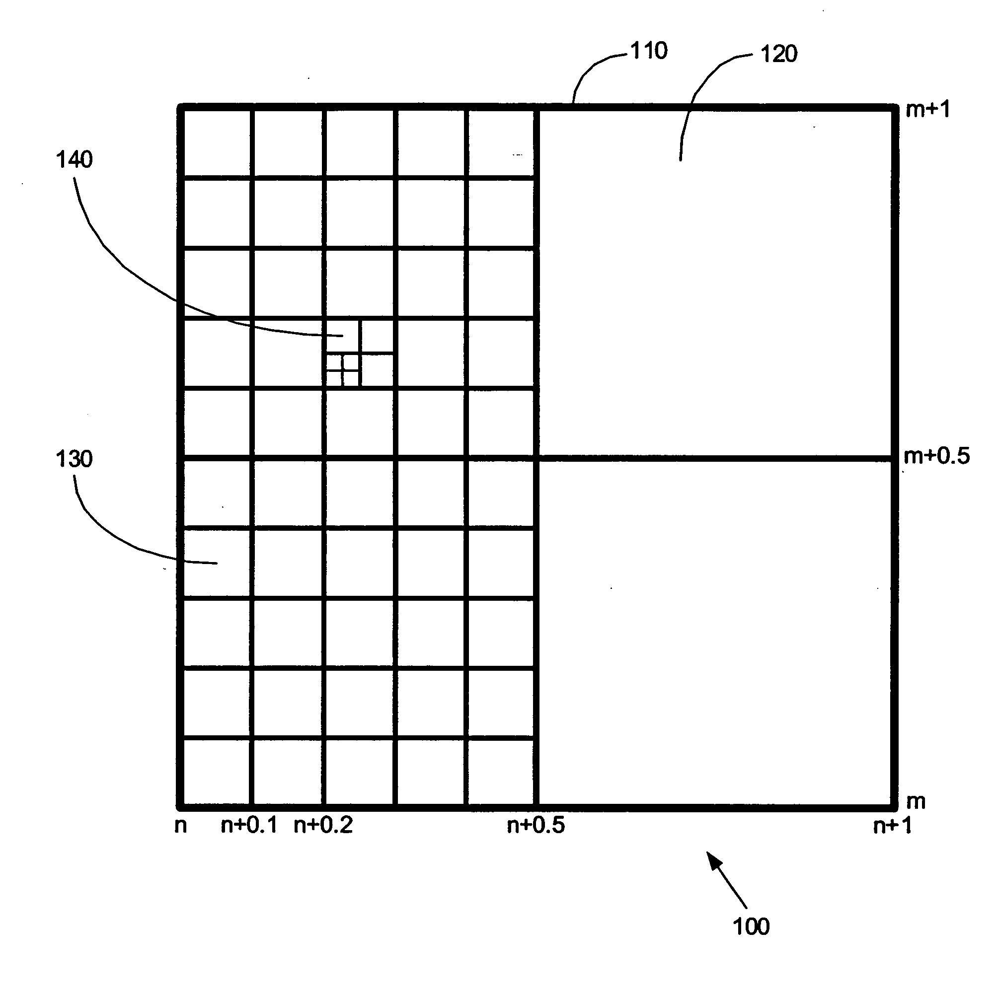
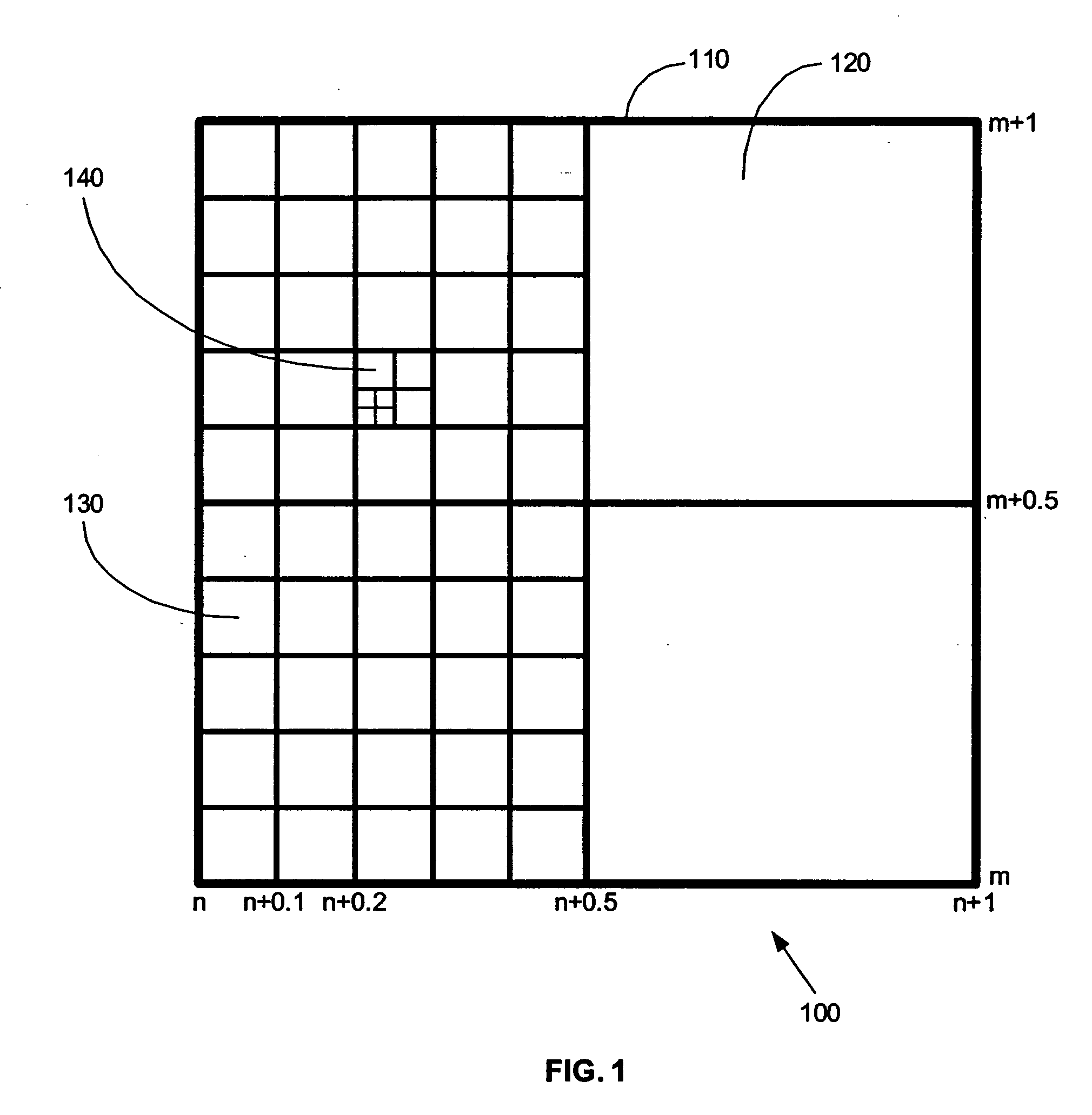
[0030] The invention relates generally to a system and method of providing a Variable Resolution Grid (VRG). A VRG provides a way of locating specific concentrations of exposures on a geographical grid to determine a projected loss caused by a particular catastrophe. An exposure may be defined as the potential financial liability that may be incurred by a party or parties. A catastrophe can be natural, man-made or a combination of the two. Some examples of catastrophes may include earthquakes, fires, tornados, hurricanes, typhoons, flooding, blizzards, hailstorms, windstorms, nuclear meltdowns, terrorist acts, labor strikes, war, or other catastrophes.
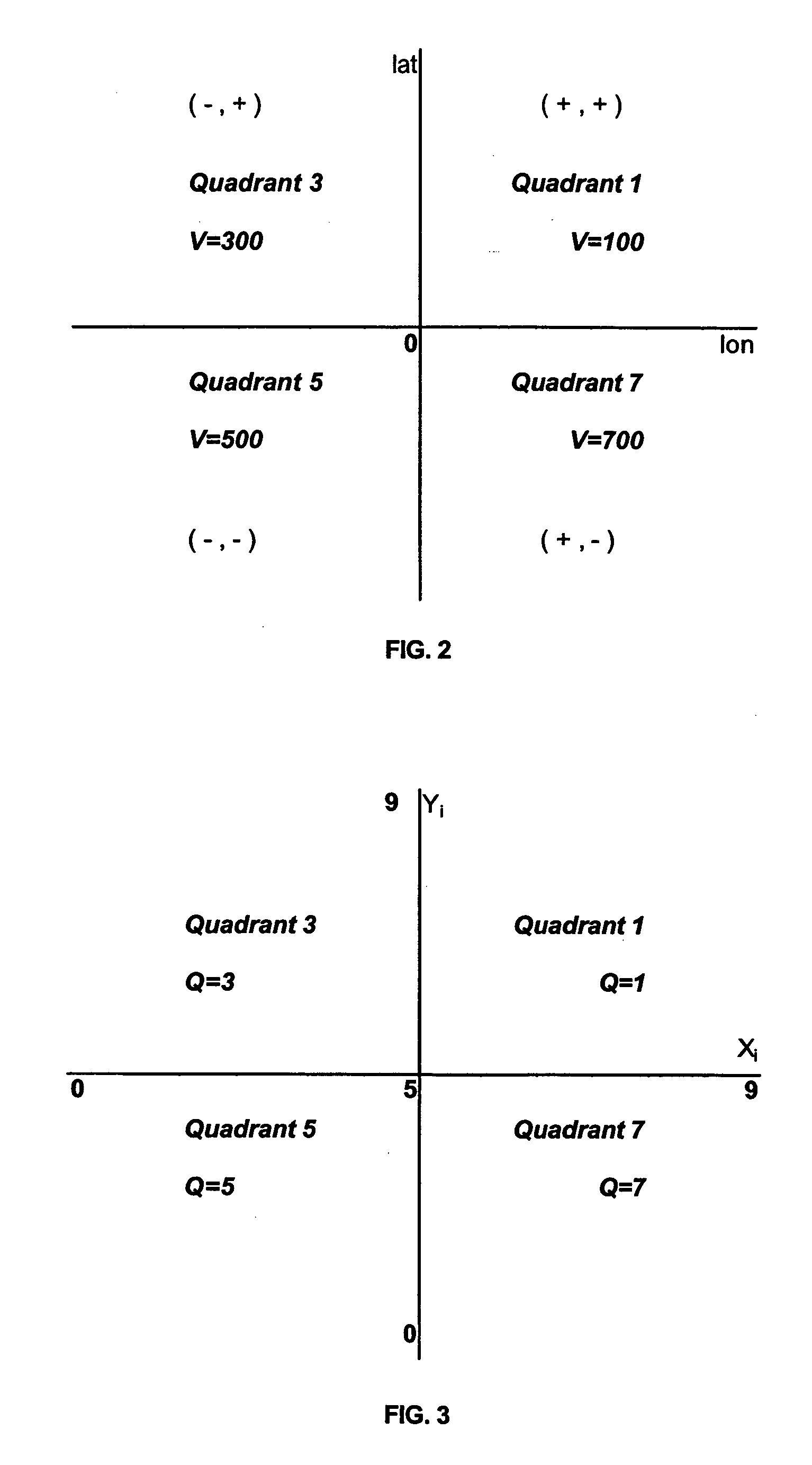
[0031] The invention creates a stable base map using latitudes and longitudes to define the grid points. This enables the same geographical base map to be used for determining projected loss for more than one catastrophe.
[0032] The invention enables the use of a wide range of resolutions determined by the number of times the latitude...
PUM
 Abstract
Description
Claims
Application Information
 - R&D
- Intellectual Property
- Life Sciences
- Materials
- Tech Scout
- Unparalleled Data Quality
- Higher Quality Content
- 60% Fewer Hallucinations
Browse by: Latest US Patents, China's latest patents, Technical Efficacy Thesaurus, Application Domain, Technology Topic, Popular Technical Reports.
© 2025 PatSnap. All rights reserved.Legal|Privacy policy|Modern Slavery Act Transparency Statement|Sitemap|About US| Contact US: help@patsnap.com


