Topographic survey method
A topographic measurement and surface technology, which can be applied to measurement devices, radio wave measurement systems, reflection/re-radiation of radio waves, etc., can solve problems such as low calculation efficiency, and achieve the effect of great application value
- Summary
- Abstract
- Description
- Claims
- Application Information
AI Technical Summary
Problems solved by technology
Method used
Image
Examples
Embodiment Construction
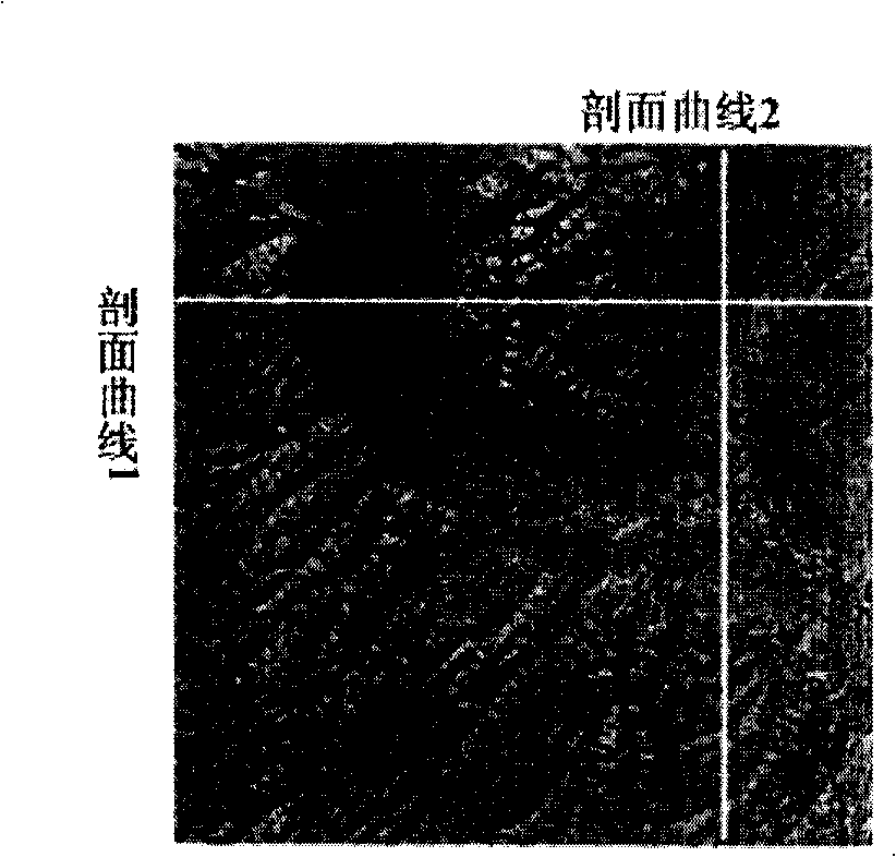
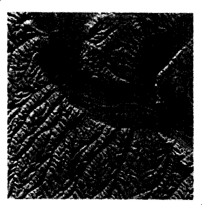
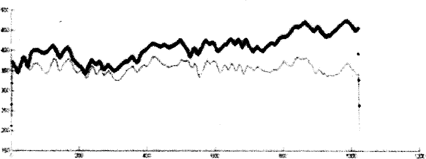
[0052] The flow chart of the topographic measurement method using single-path full-polarization synthetic aperture radar complex image data proposed by the present invention is shown in FIG. 3 . Before the specific elaboration of the steps of the topographic survey, the important symbols used in the invention will be uniformly explained:
[0053] The fully polarized complex image data consists of 4 complex matrices, each of the same size: M 1 OK, M 2 List. The four matrices are named S HH , S HV , S VH and S VV . S HH (x, y) represents S HH The element in row x and column y in the matrix (counting from 0). In the present invention, the full polarization data processing defaults to the backscattering coordinate system and the target satisfies the reciprocity assumption: that is, S HV = S VH , so the input complex matrix is actually 3. θ is the generated polarization azimuth offset matrix; H A is the height of the radar carrier platform, η 0 is the incident angle...
PUM
 Abstract
Description
Claims
Application Information
 - R&D
- Intellectual Property
- Life Sciences
- Materials
- Tech Scout
- Unparalleled Data Quality
- Higher Quality Content
- 60% Fewer Hallucinations
Browse by: Latest US Patents, China's latest patents, Technical Efficacy Thesaurus, Application Domain, Technology Topic, Popular Technical Reports.
© 2025 PatSnap. All rights reserved.Legal|Privacy policy|Modern Slavery Act Transparency Statement|Sitemap|About US| Contact US: help@patsnap.com


