Multiple digital watermarking method for geographic information system (GIS) vector data
A vector data and digital watermarking technology, applied in the field of geographic information copyright protection, can solve problems such as inability to effectively protect GIS vector data, increasing data attacks, and poor robustness.
- Summary
- Abstract
- Description
- Claims
- Application Information
AI Technical Summary
Problems solved by technology
Method used
Image
Examples
Embodiment 1
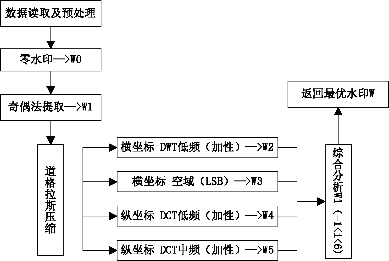
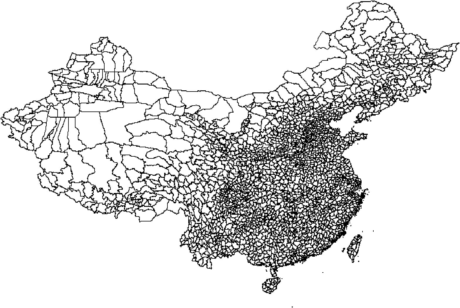
[0076] In this example, a typical GIS vector data is selected, and an embodiment of the present invention is given for the entire process of data reading, preprocessing, watermark embedding, result saving, and watermark extraction, and the present invention is further described in detail. This embodiment selects Chinese county-level administrative division vector data (such as image 3 ) as experimental data, the data format is shp, surface layer, and the number of data records is 3407. The content of the watermark is the text information of "Nanjing Normal University", and the corresponding binary watermark sequence W is "11000100110011111...100111" with a length of 96.
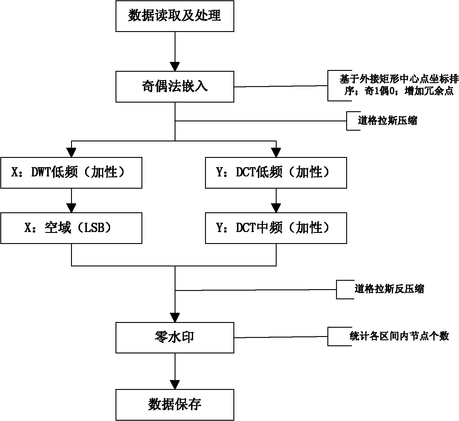
[0077] 1. Multiple digital watermark embedding method for GIS vector data.
[0078] Such as figure 1 , is the embedded work flow chart of the GIS vector data multiple digital watermarking method proposed by the present invention. The whole process is divided into the following parts:
[0079] Step 1: Rea...
PUM
 Abstract
Description
Claims
Application Information
 - R&D
- Intellectual Property
- Life Sciences
- Materials
- Tech Scout
- Unparalleled Data Quality
- Higher Quality Content
- 60% Fewer Hallucinations
Browse by: Latest US Patents, China's latest patents, Technical Efficacy Thesaurus, Application Domain, Technology Topic, Popular Technical Reports.
© 2025 PatSnap. All rights reserved.Legal|Privacy policy|Modern Slavery Act Transparency Statement|Sitemap|About US| Contact US: help@patsnap.com


