Underground space high-precision positioning method based on laser scanning and sequence encoded graphics

A technology of serial coding and laser scanning, which is used in the re-radiation of electromagnetic waves, the use of re-radiation, measurement devices, etc., can solve the problems of low positioning accuracy and unsuitable for fast and high-precision underground positioning, and achieve huge economic and social benefits. Effect

Inactive Publication Date: 2011-05-11
吴立新 +1
View PDF2 Cites 62 Cited by
  • Summary
  • Abstract
  • Description
  • Claims
  • Application Information

AI Technical Summary

Problems solved by technology

To sum up, in recent years, there have been many related patented technologies at home and abroad, but the po...

Method used


Image

  • Underground space high-precision positioning method based on laser scanning and sequence encoded graphics
  • Underground space high-precision positioning method based on laser scanning and sequence encoded graphics
  • Underground space high-precision positioning method based on laser scanning and sequence encoded graphics

Examples


Embodiment Construction

[0044] Include steps:

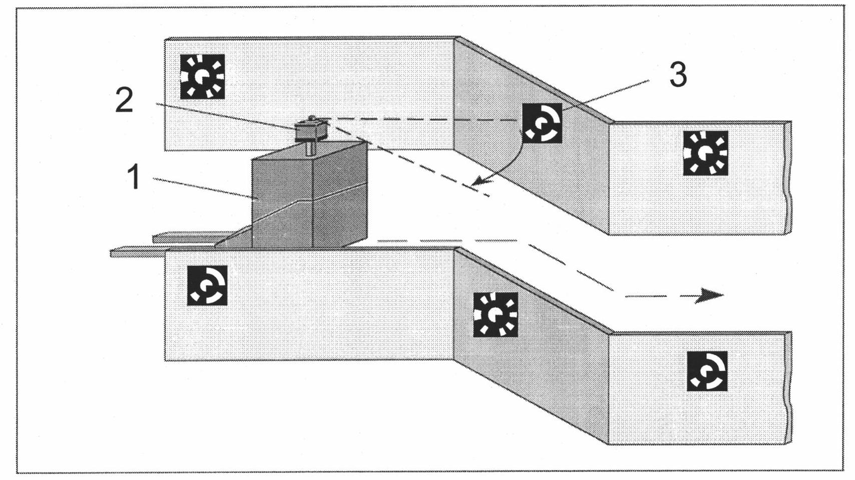
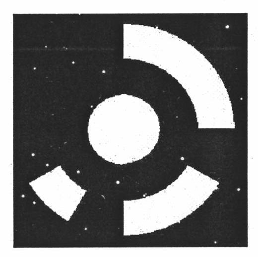
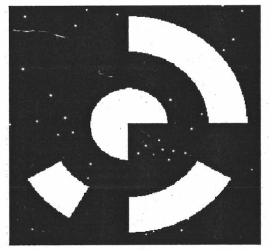
[0045] A) Utilize the laser radar three-dimensional scanning technology to build an accurate three-dimensional model of the underground space, and lay out the sequence coded image signboard designed by the present invention along the underground roadway space, and accurately measure the three-dimensional coordinates of the central point of the coded signboard;

[0046] B) The high-precision positioning system for underground space based on laser scanning and sequence coding graphics is initialized, the laser radar starts three-dimensional scanning, the dual camera system starts to collect images inside the roadway, and the internal measurement unit and wheel encoder start counting;

[0047] C) In the intensity image and three-dimensional data obtained by laser scanning, and the stereo image pair obtained by the dual camera system, calculate the distance between the center of the coded figure and the moving target, and decode the coded figure, and query t...


PUM


Abstract

The invention discloses an underground space high-precision positioning method based on laser scanning and sequence encoded graphics. Aiming at the rapid high-precision positioning, orientation, altitude determination and navigation of moving targets in a GPS signal-free underground well of a mine, the method can make the breakthrough in key directions from the design, decoding and optimized layout of the encoded graphics, the economical and rapid acquisition of a fine and accurate road network-a three-dimensional well network space model consisting of underground tunnels of mine, a high-precision positioning algorithm of the moving targets in well restraint spaces (precise resolving of position, direction, altitude parameters), a three-dimensional well network space matching algorithm, athree-dimensional navigation technology to a final navigation platform and terminal control system, and the like, thus key technologies for underground rapid high-precision positioning and navigationas well as software and hardware systems are formed to eventually achieve the leaping-development of a underground unmanned mining technology for the mine in our country. Besides, the method disclosed in the invention can also meet the application demands of large urban underground space, deep and long traffic tunnel, large grotto, large building interior, large overpass and subway space on the rapid high-precision positioning and navigation of the moving targets, thereby pushing forward the development of the underground space positioning technology in our country.

Description

technical field [0001] The invention relates to a high-precision positioning method for underground space. Background technique [0002] With the development of electronic information technology, location-based services play an increasingly important role in people's production and life. The outdoor positioning technology represented by the Global Positioning System (Global Positioning System, GPS) has been well known. For indoor and underground environments without satellite navigation signals, new positioning technologies represented by radio frequency identification (Radio Frequency Identification, RFID) and wireless fidelity technology (Wireless Fidelity, Wi-Fi) have also received extensive attention in recent years. Mines are the lifeblood of national development, and mine safety is the top priority of national safety production work. In 2008, there were 38 serious accidents in coal mines across the country, with 707 deaths, an increase of 10 accidents, an increase of ...

Claims


Application Information

Patent Timeline
IPC IPC(8): G01S17/50G01S17/58G01S17/89G01C11/00
Inventor 吴立新王植
Owner 吴立新
Why Eureka
Try Eureka